
The high temperatures and fine, sunny days of summer have been replaced with heavy showers, blustery winds and cooler daytime temperatures.
As children head back to school, there are often hopes of an Indian summer, an unseasonal return of good weather many people in Ireland call the “back-to-school weather”.
However, the forecast for the days and weeks ahead gives little hope for a return to summery conditions.
According to Met Éireann meteorologist Matthew Martin, the signs for the days ahead are not good, and the wet weather is expected to stay with us as we head into next week.
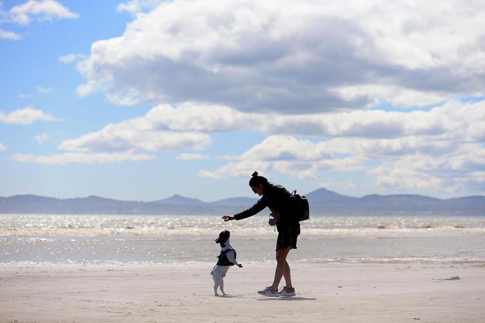
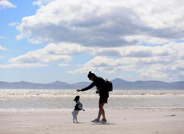
A woman plays with her dog on Dollymount Strand in Dublin during a sunny spell of weather. Stock image
7-Day weather forecast as Ireland heads into autumn
“The bad news is that we have increasing confidence, certainly for the next 10 days, that it’s looking fairly unsettled,” he said.
“There’s a strong zonal blow over the north Atlantic, feeding in low pressure towards Ireland. So, it’s staying really unsettled for the next 10 days.”
The wind and rain are both here to stay, Mr Martin said, and it will be wetter than average for this time of year, and could be slightly cooler than normal as well.
“It’s staying really unsettled for the next 10 days, and rainfall amounts will be well above average – two or three times above the norm – and temperatures around average or slightly below average,” he said.
There’s no real weather pattern that is dominant at this time of year compared to others
“It’s looking like it’s staying unsettled for the next 10 days and there could be some heavy rain and strong winds particularly early next week, maybe Monday and Tuesday.
“So, it’s something to keep an eye on, but certainly no sign of any further fine weather in the medium term.”
As for the idea of “back-to-school weather”, Mr Martin said the phenomenon is simply “something people talk about at this time of year”.
“There’s no real weather pattern that is dominant at this time of year compared to others. Unfortunately, there’s no correlation,” he said.
Nor is there any real science behind the idea that warm summers, like the record-setting one Ireland has just had, are always followed by poor autumns.
“If that was the case, we’d be millionaires,” Mr Martin said.
“It’s just random, it’s all probabilistic. There’s no correlation between fine summers and bad weather in autumn and winter. There’s no scientific backing for that.”
This summer was the warmest in Ireland since records began in 1900, with an average temperature of 16.19C recorded.
The new record was 0.08C higher than the previous hottest summer in 1995.
The three-month season of June, July and August was 1.94C higher than the long-term average measured over a 30-year period.
Spring was also the warmest on record, putting Ireland on track to potentially have its hottest ever year.
This marked the first time since 1933 that temperature records were exceeded in back-to-back seasons.
Today, Thursday morning will start off dry and bright in the east, while there will be showers further west. Those showers will turn more widespread as we move through the day, with some of them heavy.
There will be some reprieve in the evening, when most areas are expected to remain dry.
After a few days of dreary spells and heavy showers, Friday will be mostly dry with some sunny spells, however there will be some light showers in the evening, mainly in the west and southwest.
The weekend will turn unsettled again, with Saturday expected to be “generally dull”, and a “wet and blustery” day on the cards for Sunday.