
Parts of the UK could see scorching temperatures early next month as weather maps turn deep red, with forecasters predicting highs of up to 31C. WXCharts maps generated on July 21 show a surge of heat spreading across much of the country on Sunday, August 3. By 6pm that day, temperatures could hit 31C in London, with other parts of the South East, including Kent and Essex, also reaching 30C or higher, the maps suggest.
Birmingham, Southampton and Cardiff are also likely to see temperatures climbing into the high 20s or low 30s. The maps show a blanket of volcanic red stretching across England, indicating extremely hot conditions. Earlier in the day, around midday on August 3, parts of the country are expected to already be warming up rapidly, the maps show.
Areas including Birmingham and London are forecast to reach between 28C and 30C before the peak of the heat later in the afternoon.
The heat is also expected to linger overnight. Another chart, valid for midnight into Monday, August 4, shows warm conditions sticking around, with London still holding around 27C to 28C.
Many other areas in the South and Midlands will likely stay well above 20C, the maps suggest.
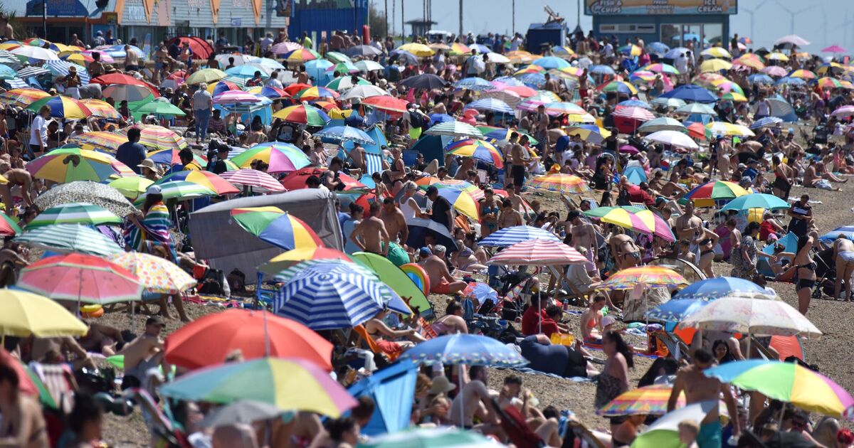
If accurate, the forecast suggests a short-lived “mini-heatwave” could bring back summer sunshine after a run of wet and unsettled weather in July.
The Met Office defines a heatwave as an extended period, lasting at least three days, of hot weather relative to the expected conditions of the area at that time of year.
The Met Office’s long-range forecast, covering Friday, July 25 to Sunday, August 3, says: “The highest chance of drier and sunnier weather can be expected to the east of hills, and across southern and eastern areas.
“Temperatures are most likely to be near to average for the time of year, with only a small chance of hot spells during late July and the start of August.”
Looking ahead into August, the Met Office adds: “There are signs that high pressure to the southwest may try to extend its influence across the UK.
“Temperatures will likely continue to be near or above average overall, with a continuing chance of some very warm or hot spells, especially in the south and east.”