
In a special report from CSU addressing the quiet spell, there are three main factors explaining why the season has become so quiet.
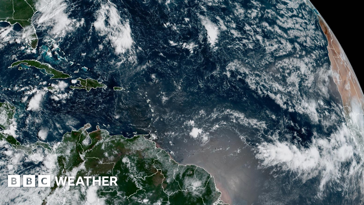
The first is that the tropical Atlantic has become ‘dry and stable’.
This means there isn’t enough moisture and atmospheric instability for big thunderstorms to develop and sustain themselves to grow into tropical cyclones.
Another factor is that there has been an increase in the wind shear – changes in wind speed and direction with height – over the western Atlantic.
This wind shear is important in tropical storm development. If it is too high it can rip apart developing storms.
And lastly, there hasn’t been a supply of increased thunderstorm activity in west Africa, which would normally travel west into the Atlantic where they can be the starting mechanism for developing tropical cyclones.
We’ve had lulls in hurricane activity before. Indeed, there are similarities to only last year.
In June and July 2024, Hurricane Beryl devastated parts of the Caribbean and broke records as the earliest storm ever to reach Category 5 – an intensity usually seen during peak season.
It then became unusually quiet with no activity between 21 August and 9 September, the most prolonged lull in hurricane numbers for around 50 years.
Activity dramatically increased in late September with multiple major hurricanes until the end of the season in November.
Category 5 hurricane Milton at the start of October tied as the most intense hurricane to form in the Gulf of Mexico causing $34 billion in damage and led to 45 deaths.