
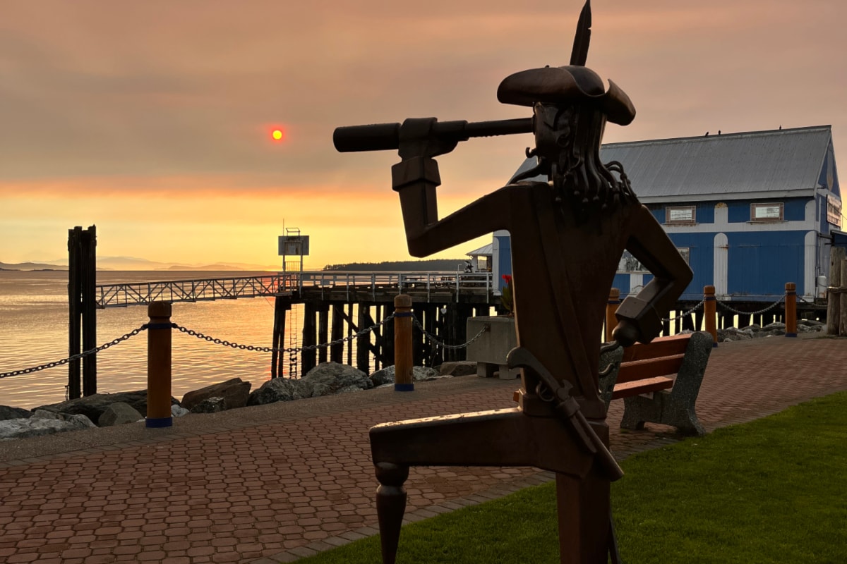
Waking to cars covered in ash and an apocalyptic sun, Greater Victoria residents scoured social media Wednesday (Sept. 17) in search of a source.
What many learned is the ash that blanketed parts of the U.S. when Mount St. Helens erupted in 1980 could be stirring, according to the US Geological Service. However, as the wildfire season continues to burn, the online firesmoke map shows particulates percolating around the eastern portion of Vancouver Island.
The USGS issued an alert midday Tuesday that strong easterly-southeasterly winds in the area of Mt. St. Helens was picking up loose volcanic ash that fell during the eruptions 45 years ago, carrying it west-northwest. The resuspended ash was reported by pilots near the volcano – more than 400 kilometres south of Victoria in Washington state.
“This phenomenon is not the result of recent volcanic activity and occasionally occurs during times of high winds and dry snow-free conditions in the Mount St. Helens area,” the agency said. “Resuspended volcanic ash should be considered hazardous and could be damaging to aircraft and health.”
However, the ash falling in the north is not likely the resurrected ash, the agency told the Victoria News. Photos look more like forest fire ash, a spokesperson said, which is black and water soluble. Mt. St. Helens volcanic ash is extremely fine particles, like baby powder, and light grey.
The agency is still looking into the volcanic ash ongoing forecast.
In the meantime, 125 wildfires are burning in B.C. at the moment, with several more south of the border.
An online mapping tool BlueSky Canada offers smoke and fire weather forecasts produced by the Weather Forecast Research Team at UBC.
It shows a large fire burning due south of Victoria in the Olympic Mountains. Satellite imagery from the Bear Gulch fire, at more than 10,000 acres, shows a dense, wide plume of smoke travelling north from the fire to Victoria and the Gulf Islands.
Wednesday morning, the firesmoke map showed particulates swinging over the east coast of Vancouver Island, then clearing by midday. Around that time, the Environment Canada predicted Victoria and West Shore air quality at ground level would hit “moderate risk,” returning to low risk overnight and Thursday. The rest of the Island remains low risk.
Find the map at firesmoke.ca.
Do you have smoke and ash photos to share? Email [email protected].
– with files from Ben Fenlon