
Published on Sep. 21, 2025, 11:57 AM
A taste of humidity will accompany southern Ontario’s storm threat, with some much-needed rainfall for some of the drought-stricken areas, for the next two days.
We’ve seen a very dry stretch of weather across most of the southern half of Ontario. Many communities were mired in a moderate drought or worse as of the end of August, with conditions only worsening through the first few weeks of September.
However, some relief is on the way, finally, on Sunday. While it won’t be enough rain to erase the precipitation deficit completely, any amounts we see will be beneficial. Areas that see thunderstorms could see up to 50 mm of rainfall, which will increase the risk of localized flooding.
DON’T MISS: More dangerous than snow: Why driving in the rain can be a bigger hazard
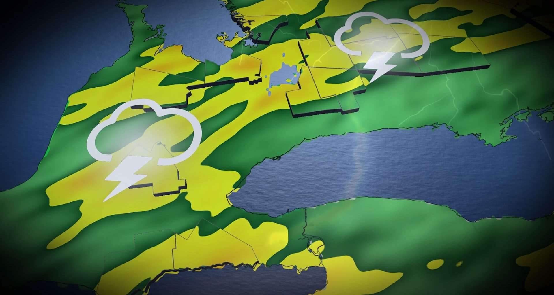
Along with the rainfall, Ontario could see its final severe thunderstorm threat of 2025 as a low-pressure system lifts across the province on Sunday. Blustery wind gusts topping 80 km/h, small hail and heavy downpours are the main risks.
It is important to remain weather-aware, and stay up-to-date on all of the latest watches and warnings as conditions change.
Ontario’s last shot at severe storms this season?
Conditions are just right to allow the storms to form. Saturday’s fall chill dropped temperatures, just as a warm air mass will move into southern Ontario along with a low-pressure system on Sunday.
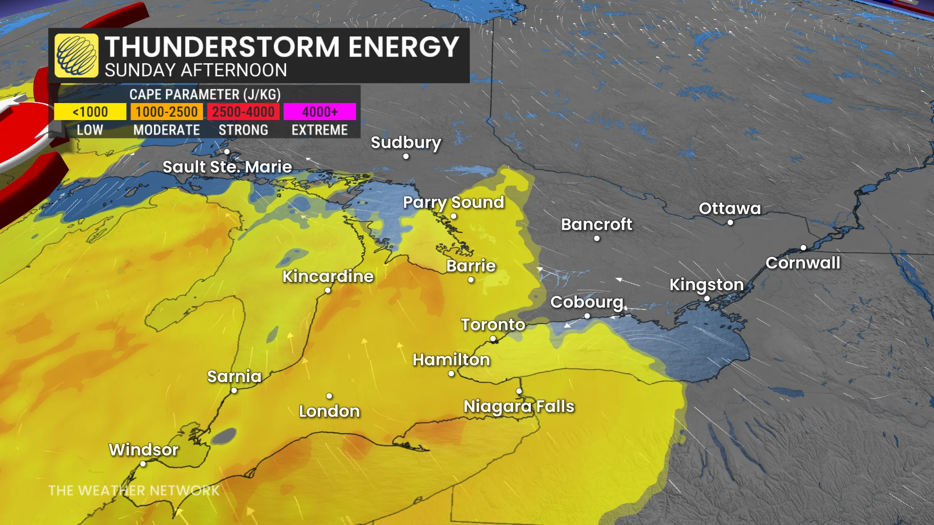
On top of that, moisture is building, with dew points climbing into the mid to upper teens; these factors are generating the right conditions for Sunday to see some thunderstorm energy build.