
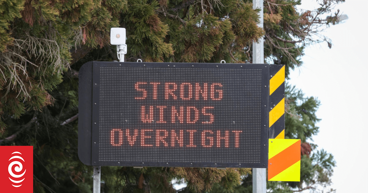
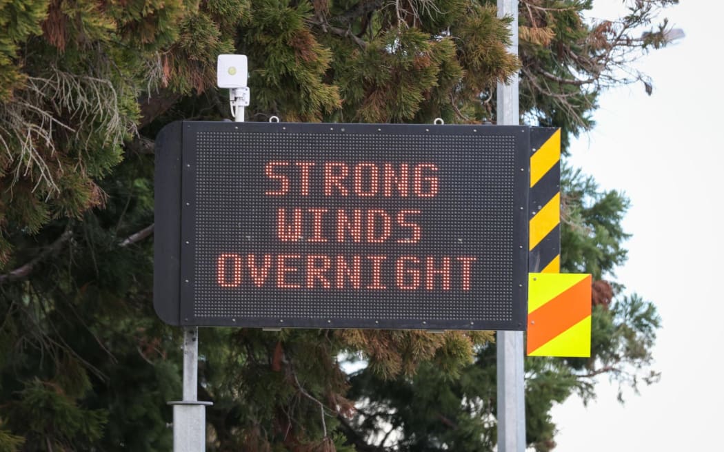
MetService says severe gales are possible in exposed places across the regions.
Photo: RNZ / Nathan Mckinnon
More wind is set to move through the South Island, with strong wind watches in place for Canterbury, Otago and Southland.
MetService said severe gales were possible in exposed places across the regions.
Fiordland, Stewart Island, inland Southland and Otago have a strong wind watch in place until 7pm on Sunday.
While a strong wind watch is also in place for Canterbury High Country and the foothills of the Canterbury Plains from 2pm on Sunday, through to 1am on Monday.
Canterbury’s wind watch has a moderate chance of being upgraded to a warning.
Sunday’s Strong Wind Watches
Northwesterly winds may approach severe gale in exposed parts of Fiordland, Stewart Island, inland Southland and Otago, Canterbury High Country, and the foothills of the Canterbury Plains, before easing from the south during the day. pic.twitter.com/bJ9HaPTsGx
— MetService (@MetService) September 27, 2025
It comes a week after severe gale force winds hammered the Canterbury region causing power outages, downing trees but no major damage.
Snow to follow
Snow is expected in parts of the lower South Island on Monday.
Road snowfall warning are in place from Monday morning for Lindis Pass, Crown Range Road and Milford Road.
MetService said 4 to 8cm could fall near the Milford Road summit, with lesser amounts down to 700 metres.
Sign up for Ngā Pitopito Kōrero, a daily newsletter curated by our editors and delivered straight to your inbox every weekday.