
Yet another spell of wild weather is on the way for the South, bringing strong winds and heavy rain for some areas.
Much of Otago and Southland copped a drenching on Saturday and into Sunday, leading to slips and surface flooding in some areas.
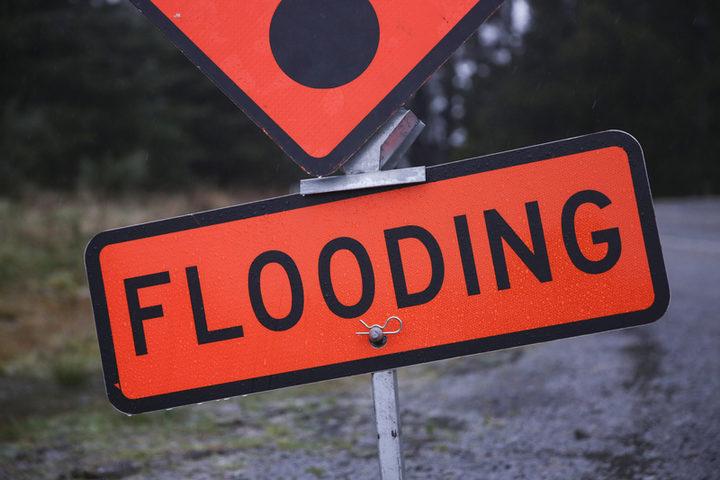
NZ Transport Agency Waka Kotahi advised shortly after midday today that a section of State Highway 90 from Tapanui to Waikoikoi is closed because of flooding. Detours are in place.
SH90 TAPANUI TO WAIKOIKOI – FLOODING – 12:10PM, SUN 5 OCT
Due to flooding at the Pomahaka River Bridge, the road is now CLOSED between Station Rd and Koi Rd. Southbound traffic detour via Station Rd, Seddon Hill Rd and Koi Rd. Reverse for northbound. ^EH pic.twitter.com/Gppyj2lhNC
— NZ Transport Agency – Otago & Southland (@nztaos) October 4, 2025
The Dunedin City Council website shows a section of Old Brighton Rd as being closed owing to flooding, and the Clutha District Council says Greenvale Rd is closed.
“Surface flooding may be present on roads this morning. Motorists are urged to drive to the conditions and take care in any areas where there is surface flooding.”
MetService has this morning issued an orange heavy rain warning for the headwaters of the Otago lakes and rivers for Monday, from noon to 8pm.
The forecaster says to expect 60 to 80mm of rain about the main divide, and 50 to 60mm within 15km further east. Peak rates of 10 to 20mm/h are expected about the divide, and the snow level is about 1800 metres.
There is also a strong wind watch for the Queenstown Lakes District, Central Otago, Clutha District north of Tapanui and Southland north of Riversdale, for nine hours from 11am to 8pm on Monday.
MetService says northwest winds may approach severe gale in exposed places.
The unsettled weather looks set to continue on Tuesday, with more rain and snow possible down to 600 metres in the South.
There is better news from midweek, when the sun is expected to come out and temperatures look set to climb into the early 20s for most parts of Otago.
– Allied Media