
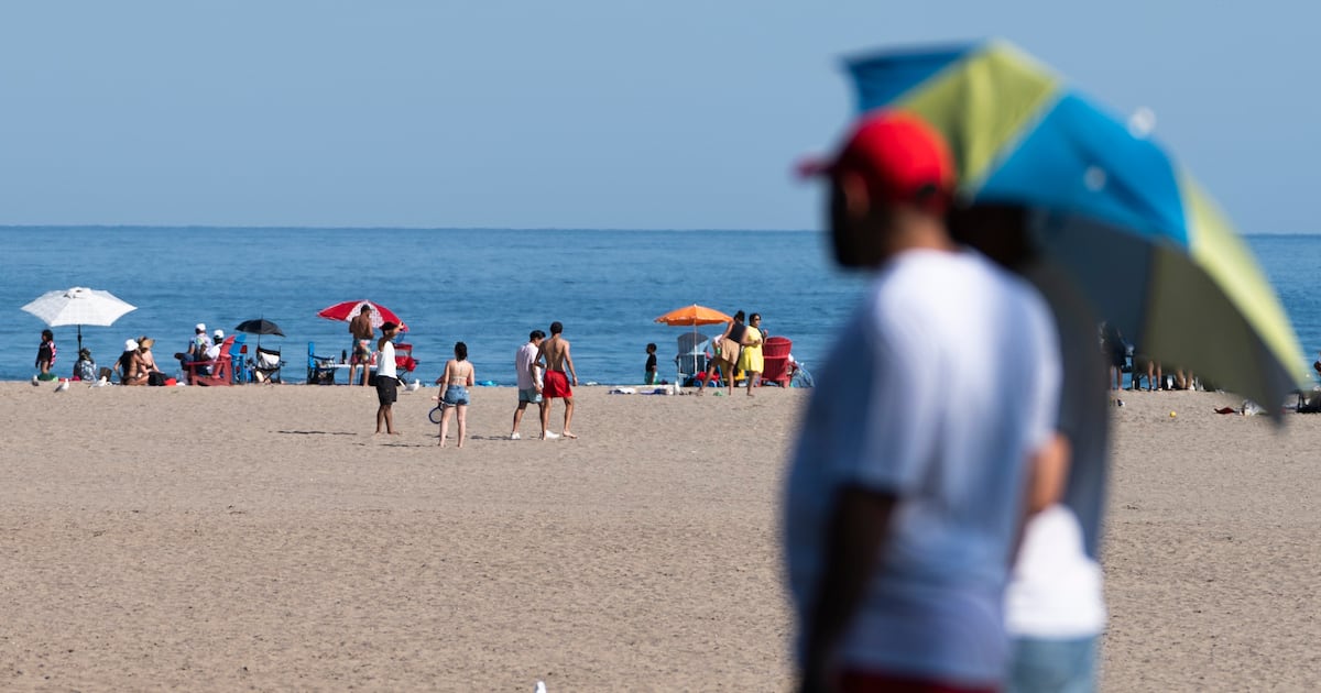
Toronto residents looking to catch a break from the heat can cool down at hundreds of city spaces, and dozens of outdoor pools.
A severe thunderstorm watch is in effect for Toronto, warning of possible torrential rainfall and nickel-sized hail this evening.
“Conditions are favourable for the development of severe thunderstorms that may be capable of producing strong wind gusts, large hail and heavy rain,” Environment Canada said.
The national weather agency said wind gusts up to 90 km/h and rainfall with amounts possibly in excess of 50 millimetres are possible.
CP24 Meteorologist Bill Coulter said strong, possibly “severe” storms are expected to arrive in Toronto between 6 p.m. and 9 p.m.
The advisory comes as Toronto is under a heat warning with humidity sending the temperature soaring to what will feel like 44.
So far, the city has reached a high of 32.3 degrees Celsius.
In its advisory, the national weather agency cautions that nighttime lows of 20 to 23 C will provide “little relief” from the heat.
“The hottest conditions are expected today. While daytime high temperatures will not be as extreme on Friday and into the weekend, nighttime lows are expected to remain warm throughout,” the heat warning read.
On Friday, Environment Canada says the mercury will rise to 31 C, feeling closer to 40 when factoring in the humidity.
“Take action to protect yourself and others – extreme heat can affect everyone’s health,” the heat alert read.
“Determine if you or others around you are at greater risk of heat illness. Check on older adults, those living alone and other at-risk people in-person or on the phone multiple times a day. Watch for the early signs of heat exhaustion in yourself and others.”
Signs of heat illness include headache, nausea, dizziness, and thirst, dark urine.
Daytime highs of 27 C and 25 C are in the forecast for Saturday and Sunday respectively.