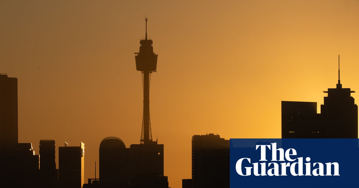
October heat records are set to fall this week across South Australia, Queensland and New South Wales, while Sydney and Brisbane can expect peaks in the high 30s.
“A very big day of weather” was expected for the south-east on Wednesday, according to Dean Narramore, senior meteorologist at the Bureau of Meteorology.
There was the potential for record-breaking heat through parts of NSW, he said, as well as thunderstorms with possibility of damaging and destructive winds though southern Victoria, south-east SA and even the south coast of NSW.
Over the weekend, new October temperature records were set in Telfer (44.3C) and Warburton (43.9C) in WA, and Ernabella (40.9C) and Tarcoola (43.9C) in SA, Narramore said.
But many more places could approach or exceed record temperatures over coming days, as the focus of heat moves east – and increases – into SA, NSW and southern Queensland.
Sign up: AU Breaking News email
“Many locations are looking at temperatures anywhere from around 10 to 16C above average,” Narramore said. Some might even reach 18C above average.
On Monday, that could include outback localities like Oodnadatta, Moomba and Marree in SA, Ballera in Queensland and Flowers Gap in NSW, Narramoore said.
On Tuesday, record highs could be more widespread, potentially including Birdsville (expecting 45C), Tibooburra and Coonamble in regional NSW, and even Bathurst.
On Wednesday, higher-than-normal heat would move into the towns of Lightning Ridge, Bathurst and Orange in NSW, and Cunnamulla in Queensland. It would be hot and windy in Sydney, with a forecast of 38C.
“We could see a number of October records broken for places along the ranges and even into maybe the far western suburbs of Sydney,” Narramore said.
Heatwave conditions – defined as three consecutive days where both the maximum and minimum temperature are well above average – were unlikely to be reached in Sydney, but could be met in parts of the Northern Territory, Queensland and northern New South Wales.
High fire danger was expected this week across WA, Queensland, northern SA, and NSW. “On Wednesday, we could even see extreme fire dangers through parts of the Illawarra, the Sydney metropolitan area and up to the Hunter as well, due to a combination of very hot, very windy conditions and some dry air.”
Australia’s land surface has warmed by 1.5C since 1910, according to the bureau, and the climate crisis has increased the frequency and severity of extreme weather events.
Capital city forecast
Sydney
Tuesday: Partly cloudy. Min 18 Max 24
Wednesday: Becoming windy. Partly cloudy. Min 18 Max 38
Thursday: Partly cloudy. Min 18 Max 24
Brisbane
Tuesday: Sunny. Min 18 Max 30
Wednesday: Mostly sunny. Min 19 Max 30
Thursday: Partly cloudy. Min 19 Max 37
Perth
Tuesday: Mostly sunny. Min 9 Max 21
Wednesday: Sunny. Min 9 Max 23
Thursday: Partly cloudy. Min 11 Max 21
Adelaide
Tuesday: Showers. Storm developing. Min 14 Max 27
Wednesday: Possible early storm. Showers. Min 14 Max 19
Thursday: Partly cloudy. Min 11 Max 20
Melbourne
Tuesday: Shower or two developing. Min 10 Max 20
Wednesday: Showers. Possible storm. Min 14 Max 23
Thursday: Possible shower. Min 10 Max 16
Hobart
Tuesday: Cloudy. Min 7 Max 17
Wednesday: Rain. Min 8 Max 14
Thursday: Cloudy. Min 7 Max 15
Canberra
Tuesday: Late shower or two. Min 12 Max 30
Wednesday: Showers increasing. Min 14 Max 31
Thursday: Sunny. Min 7 Max 23
Darwin
Tuesday: Mostly sunny. Min 26 Max 36
Wednesday: Partly cloudy. Min 26 Max 35
Thursday: Mostly sunny. Min 26 Max 35

