
Powerful gusts of up to 70mph could batter Britain during ‘Storm Bram’, a weather forecaster has told the Mirror, with risks of ‘structural wind damage and flooding’ in the worst-hit areas
Benedict Tetzlaff-Deas News Reporter
06:26, 22 Oct 2025
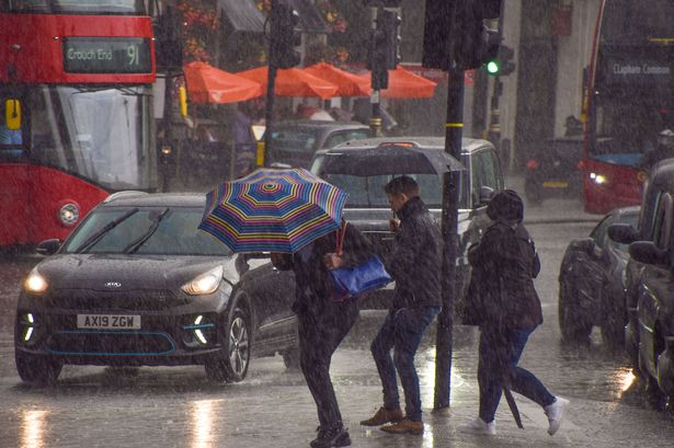 Stormy weather is forecast over the next few days (file photo)(Image: Getty Images)
A weather forecaster told the Mirror that dangerous 70mph winds could batter the UK during ‘Storm Bram‘ – and has revealed which areas are most likely to be affected.
Heavy downpours and gales are expected to tear across the country on Thursday, bringing risks of “structural wind damage” and flooding, according to British Weather Services’ senior meteorologist Jim Dale.
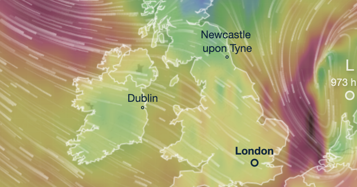
Many forecasters have been keeping a close eye this week on a deep area of low pressure moving across the Atlantic, as it is expected to result in extreme weather once it makes landfall in northern Europe. Should it track towards Britain, the storm is set to be officially named ‘Bram’, following Storm Amy earlier this month – but some models currently suggest it is more likely to hit France, Belgium or the Netherlands the hardest, meaning it will be down to their metrological agencies to name it.
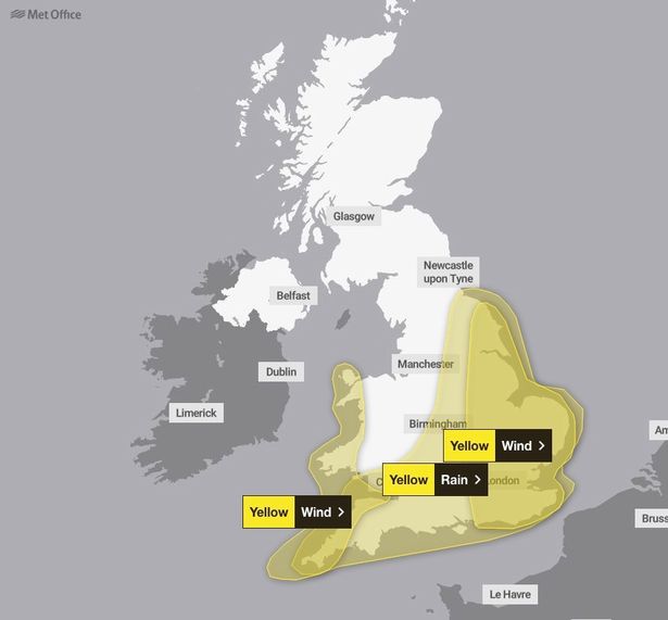 Met Office yellow weather warnings for wind and rain are in place on Thursday(Image: Met office)
Mr Dale said central and eastern areas of England appear to be in the line of the storm – and warned that anyone in these regions should try to spend most of their time indoors, as gusts of up to 70mph are likely.
He told the Mirror: “The main threats are structural wind damage and flooding. There could be 30-50mm of rain in places, and 60-70mph gusts. London is in the mix on Thursday, but especially central and eastern areas.
“Best advice is to keep one eye on the warnings and heed them; stay away from wooded areas and sea walls. If you don’t have to venture out leave it for 24 hours.”
The Met Office meanwhile warned of strong winds and rain moving northwards from Wednesday evening onwards, with multiple weather warnings set to be in place for rain and wind over the following 24 hours.
Deputy Chief Meteorologist, Dan Harris said: “Low pressure moving across the south of the UK on Thursday will bring both a spell of heavy rain and areas of strong winds.”
“The rain is expected to arrive from the southwest during Wednesday evening, before spreading northeast to many parts of England and Wales during Thursday, leading to difficult driving conditions and the risk of flooding in a few places. At the same time, winds are expected to pick up along south coastal areas in particular.
“However, it is not until Thursday morning that significantly strong northwesterly winds will first begin to affect parts of the west with gusts of 45 to 55 mph, locally 65mph around coasts expected. A little later, northerly winds are expected to develop more widely across eastern areas, most likely of similar strength, but there is a small chance of gusts in excess of 70mph should the low pressure system end up being at the stronger end of expectations”.
He added that it is “worth noting” that there is a “greater than usual uncertainty surrounding the track and intensity of this low-pressure system”, with some models appearing to show this area of low pressure moving further south, towards the continent.