

Yellow weather warnings for strong wind and heavy rain have been issued as Storm Benjamin hits the UK.
Two alerts are in force as the Met Office warned of potential flooding, power cuts and travel disruption.
Damage to buildings is possible, with “a small chance of injuries and danger to life” from large waves as the storm moves from the English Channel to the North Sea.
Check the weather forecast where you are
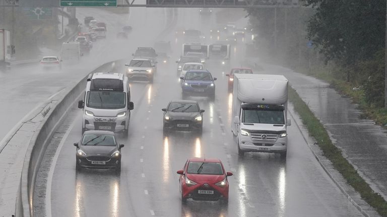
Image:
The morning commute, for some, may be tricky. Filepic: PA
A wind warning for east and southeast England is in place until 3pm, with gusts of 40-45mph widely expected. Coastal areas could see 55mph.
Norfolk and Suffolk are also under a rain warning until 4pm. About 1-1.5cm is forecast, but some areas could get 3cm.
Rain and wind warnings that covered southern and central England and west Wales have now been cancelled.
Read more from Sky News:
Trump imposes sanctions on Russian oil firms
Nicolas Sarkozy targeted with death threats in prison
2:17
Is UK ready for more extreme weather?
Chief meteorologist Rebekah Hicks said: “It is worth noting that there is a greater than usual uncertainty surrounding the track and intensity of this low pressure system.
“The public should stay up to date with the latest forecasts and warnings as the situation evolves, with adjustments to the forecasts likely at short notice.”
Storm Benjamin was named by Meteo France, the French meteorological service.