
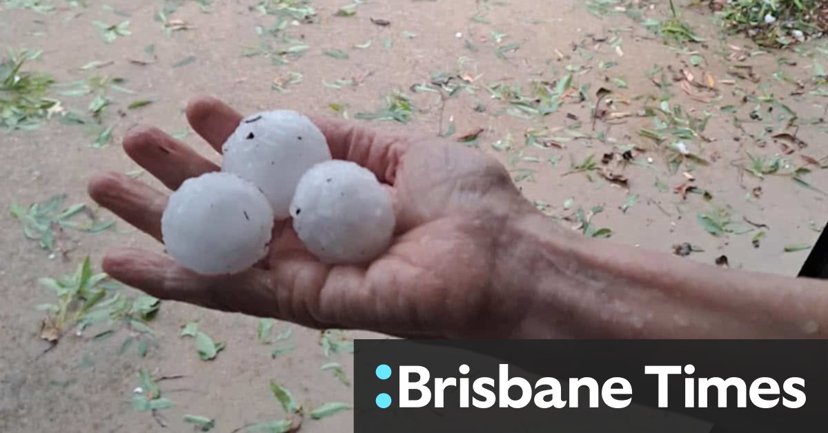
The weather bureau’s meteorologist Angus Hines said earlier the severe storms could bring “a whole array of weather hazards, including heavy to intense rainfall that can bring flash flooding, damaging destructive wind gusts and large to giant-size hail”.
“When it comes to the wind, there is even an outside chance that we could see a tornado or two touch down with the most intense, most severe thunderstorm cells later on today,” Hines said.
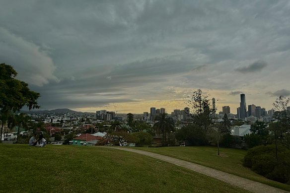
Storms roll into Brisbane on Saturday afternoon.Credit: Courtney Kruk
BOM warned residents to be alert to potential strong winds, with the strength to bring down branches and entire trees.
“Those trees, of course, can fall onto cars, fall onto houses, and cause significant damage to property,” Hines said.
“We can also see dangerous travel conditions, flooded roads, and possible isolation of streets and locations if that heavy rain does close several roads.”
Loading
The threat of another severe weather event has been brewing all week, following a destructive storm that struck parts of south-east Queensland last Sunday.
Hines said Saturday’s storms could continue into the night and potentially the early hours of Sunday morning in some areas.
The risk of rain and storm activity would remain for the rest of the weekend, but was not predicted to be as severe as on Saturday.
“It is going to be a very active weekend when it comes to thunderstorms, but Saturday is the key day with the extensive, potentially severe outbreak and high-end hazardous weather.”
Start the day with a summary of the day’s most important and interesting stories, analysis and insights. Sign up for our Morning Edition newsletter.