
Published on Jul. 26, 2025, 1:35 PM
Updated on Jul. 26, 2025, 8:49 PM
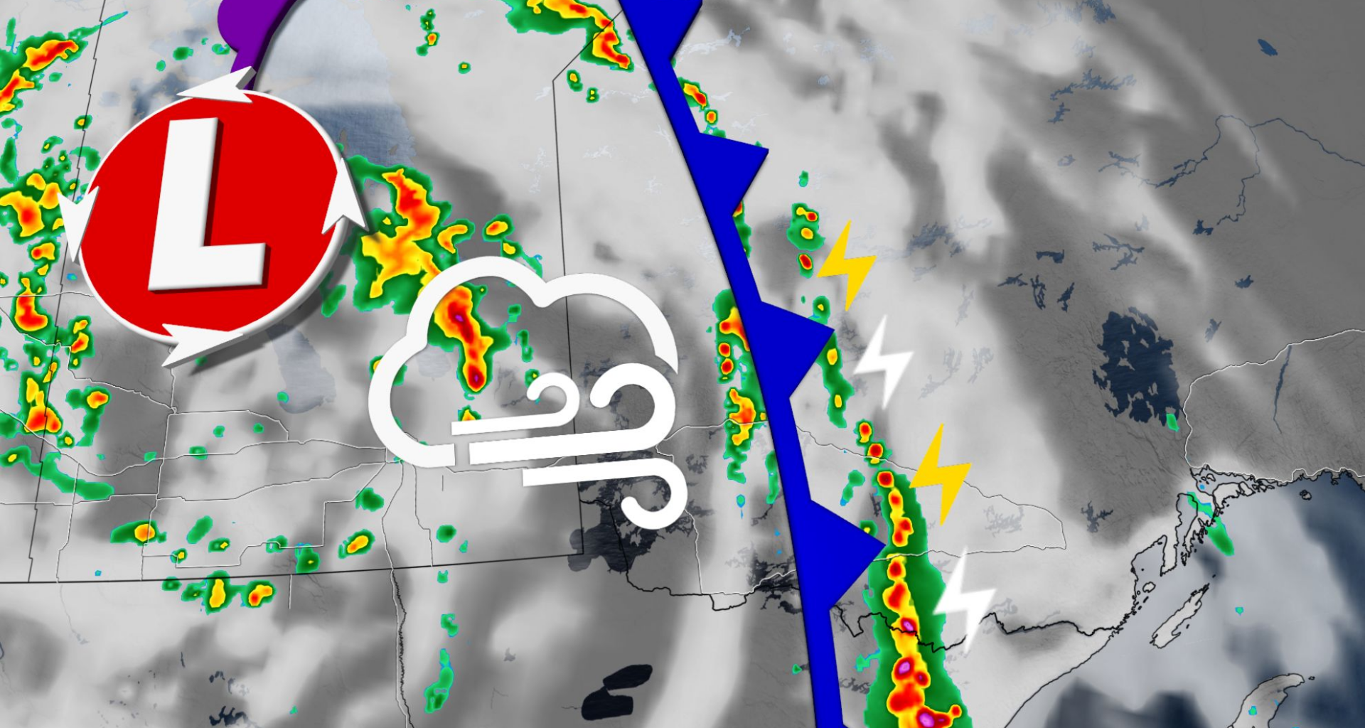
Multiple rounds of severe weather will target northwestern Ontario on Saturday and Sunday.
The past week has been nothing short of busy for Ontario in terms of stormy weather. Severe storms in northeastern and central Ontario prompted several tornado warnings on Thursday, and southern Ontario is looking at a stormy Saturday.
The main focus this weekend, however, will be on northwestern Ontario, where multiple rounds of severe weather are forecast throughout the weekend.
PHOTOS: Large hail and ‘serious winds’ batter parts of Ontario, Quebec
Be sure to keep an eye on the radar and local weather alerts, as well as have a plan in place if severe weather comes your way–especially for folks trying to enjoy the weekend at their camps.
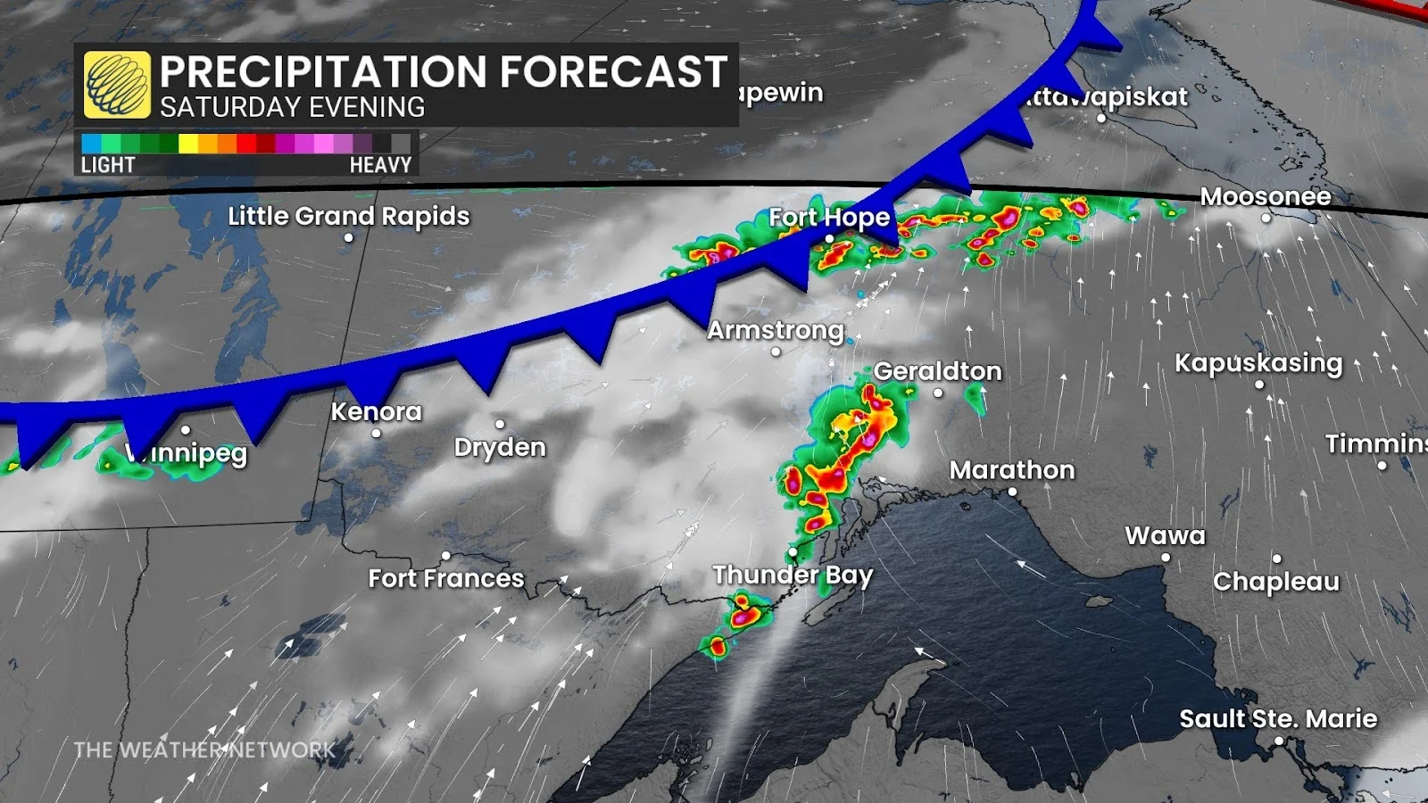
Severe storms will trigger along the Minnesota border on Saturday, pushing through Thunder Bay and to the Hudson Bay shores. The storms will continue to push east across Lake Superior’s north shores through the afternoon and evening.
Farther north, a cold front over far northwestern Ontario will force the development of several rounds of additional thunderstorms as it cuts into the hot and humid air across the region. These storms will start as clusters before growing into a line along the cold front.
Damaging winds and large hail are possible with any of the severe storms that develop in northwestern Ontario on Saturday.