
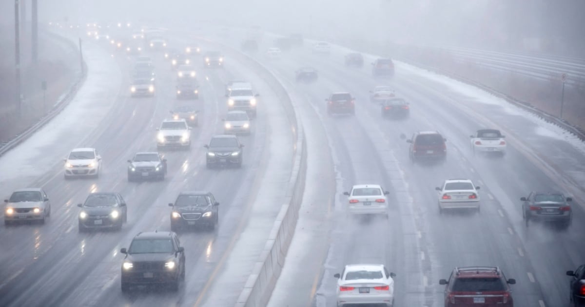
Toronto could see some snowflakes in the upcoming days, marking the early signs that winter is coming.
“We are looking at some overnight lows close to, or below, the freezing mark this weekend. That could lead to a few flurries around the GTA, especially Sunday night,” CTV News Toronto’s weather anchor Lyndsay Morrison said.
Environment Canada forecasts 30 to 40 per cent showers starting Friday, continuing through Sunday. The Weather Network (TWN) is calling for a 40 per cent chance of flurries by the evening of Nov. 10, where the temperature will feel like -5.
The following day, on Nov. 11, TWN calls for a 40 per cent chance of “rain-snow showers” as the temperature will feel like 0.
“On average, Toronto sees it’s first snow of the season in the first week of November, so this is to be expected at this time of year,” Morrison said. “However, we didn’t get our first snow last year until early December.”
On Dec. 4, 2024, Environment Canada issued a winter weather advisory for Toronto as two to five centimetres of snow was in the forecast.
While Toronto does not have snowfall in its forecast at this moment, the city might see some flurries or snowflakes—but probably not measurable now, Morrison said.
“In the coming weeks, we’ll be watching for lake-effect snow as colder winds start to blow over the relatively warmer waters of the Great Lakes. We’re already seeing that kind of setup this week with lake-effect rain showers, but as temperatures cool through November, we’ll start to get more in the way of mixed precipitation and snow,” Morrison said.
There is a 40 per cent chance of rain in Toronto early Monday night, with the gusts of wind cooling temperatures to 5 C.
While Environment Canada forecasts a sunny Tuesday and Thursday, the federal agency is calling for periods of rain all throughout Wednesday.
With files from CP24’s Codi Wilson