
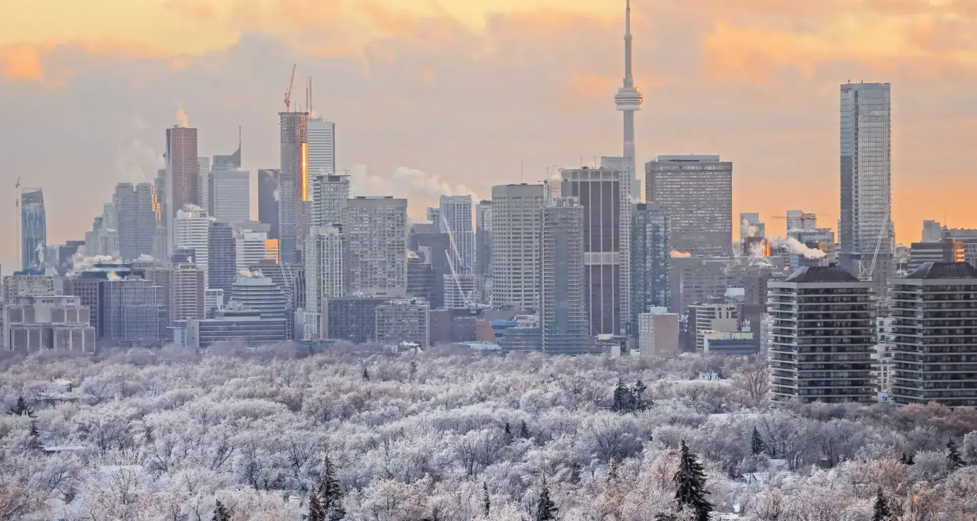
The Greater Toronto Area (GTA) is gearing up for its first snowfall of the season, with Environment Canada forecasting a chance of flurries beginning Sunday and continuing into early next week.
A low-pressure system moving across southern Ontario is set to bring rain and wet snow to the region on Sunday, Nov. 9, marking the city’s first brush with winter weather this season.
While much of Toronto will likely see a rain–snow mix, northern parts of the GTA — particularly areas closer to Lake Simcoe and higher elevations — could experience periods of steady snow.
“Sunday is looking like the most likely timeframe, and with that, we’re expecting there to be some snow through the GTA,” Steven Flisfeder, meteorologist with Environment Canada, told Now Toronto. “The northern portions of the GTA are most likely to see it as purely snow… closer to the lake, it’s probably going to be a mix of rain and snow.”
FLURRIES UNLIKELY TO STICK AROUND IN THE CITY
For most of the city, theearly snowfall won’t stick around.
Temperatures are expected to hover well above freezing in the days leading up to the forecast system, with highs around 10 C. This means that ground temperatures will remain too warm for the accumulation to happen in the core.
“It’s unlikely that the ground level temperatures will be cool enough for any snow to remain at the surface for Toronto,” Flisfeder said.
“As you get further north through the GTA, especially the higher elevations, that will mean the difference between snow sticking to the ground or not.”
Some northern communities may still wake up to snow on grassy surfaces Monday morning, although roads are expected to remain clear.
WHEN TO EXPECT CLEARER ANSWERS
Forecast models still vary slightly, but a clearer picture should emerge later this week.
“By Thursday or Friday, we should have a much better handle on whether the snow will actually occur and where it can occur. Right now, there’s just a chance of showers or flurries in the forecast for Sunday,” Flisfeder noted. “Those probabilities will either increase or decrease as the agreement comes into alignment.”
While the potential for snowfall over the weekend may feel early compared to last year — when Toronto first saw snowflakes in December — Flisfeder says this timing is actually closer to normal.
“Last year was very late compared to normal,” he said. “We typically would see at least a trace of snow in Toronto by the end of October… even this year, it’s a little bit later than normal.”
This snowfall doesn’t offer clues about how the rest of winter will unfold, but it signals the seasonal shift is officially here.
“One event doesn’t dictate an entire season to come,” he said.
“But it does bring to mind that snow is imminent in the forecast, if not this week, then certainly in the coming weeks. So people should start to have, you know, winter driving in mind as we get closer to the end of November.”
WHERE TO FIND WEATHER UPDATES
Environment Canada encourages residents to stay tuned to official forecast platforms this week:
WeatherCAN app (Apple & Android)