
They say all roads lead to Rome—but exactly how many Roman roads were there? According to new research, potentially over 68,000 miles (over 110,000 kilometers) more than previously known.
Meet Itiner-e, a new high-resolution digital dataset and map of the Roman Empire’s roads around 150 CE. A team of researchers used archaeological and historical records, topographic maps, and satellite imagery to create the behemoth, which charts 185,896 miles (299,171 km) of roads across almost 1,544,409 square miles (4,000,000 square km).
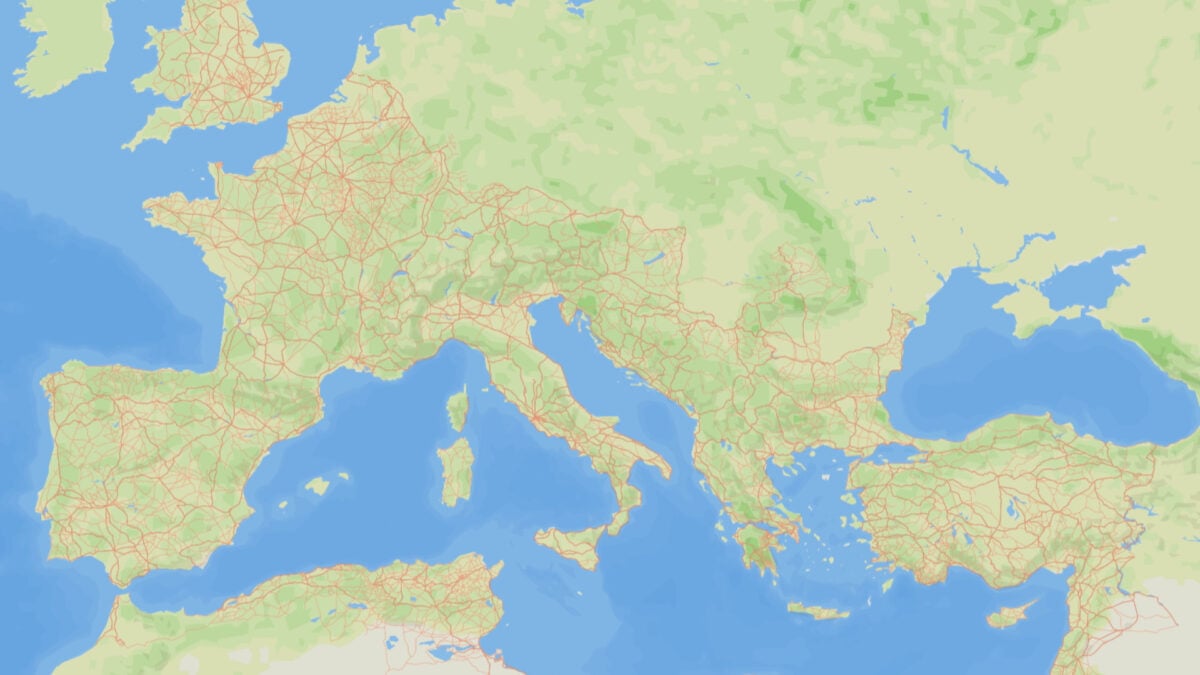
An Ancient Roman road map
“The Roman Empire’s road system was critical for structuring the movement of people, goods and ideas, and sustaining imperial control. Yet, it remains incompletely mapped and poorly integrated across sources despite centuries of research,” the researchers wrote in a study published today in the journal Nature. They describe Itiner-e as “the most detailed and comprehensive open digital dataset of roads in the entire Roman Empire.”
 An artistic rendering of a Roman road with directional lanes in Algeria. © Itiner-e, Artas Media, MINERVA.
When the Roman Empire peaked in the second century CE, it encompassed more than 55 million people from modern-day Britain to Egypt and Syria. The new map reveals 68,734 miles (110,616 km) more of roads than previous estimates. According to the researchers, the increase comes from a higher coverage of roads in the Iberian Peninsula, Greece, and North Africa, as well as the modification of previously proposed roads around the actual landscape, such as winding mountain roads rather than unrealistic straight shots.
“This resource is transformative for understanding how mobility shaped connectivity, administration, and even disease transmission in the ancient world, and for studies of the millennia-long development of terrestrial mobility in the region,” the researchers said.
What we know and what we don’t 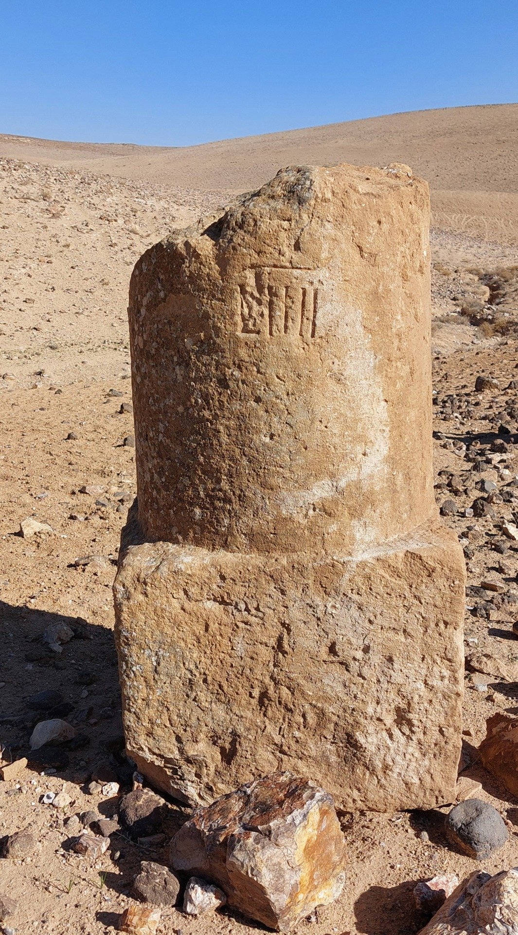 Part of an ancient Roman milestone in Jordan. © Adam Pažout, Itiner-e.
In total, Itiner-e consists of 14,769 road sections, with 34.6% categorized as main roads and 65.4% categorized as secondary roads. Notably, only 2.7% of the roads’ precise locations are certain. 89.8% are known with less precision, and 7.4% are theorized.
“This shows a discrepancy between our knowledge of the existence and location of Roman roads: we know all of the included roads were used at some point during the Roman period, but their precise locations are not certain,” the team explained. They also noted that Itiner-e does not represent how the road system developed over time.
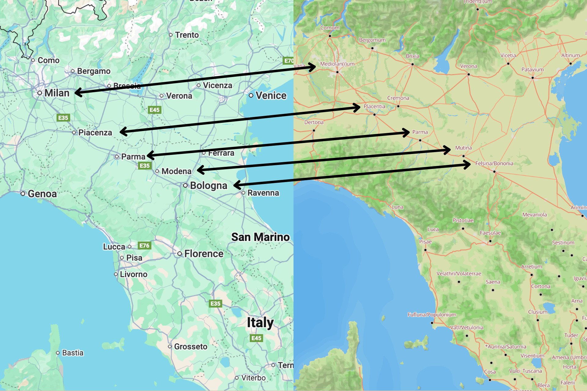 Screenshot of parts of Italy on Google Maps (left) and Itiner-e (right). © Google Maps / Itiner-e
At its most basic level, Itiner-e provides an impressive new visual of the ancient Roman territories that helps you appreciate how well-connected the empire was. If you compare it to a modern map, you might even find some nerdy easter eggs—like the fact that the road that connects modern-day Bologna, Modena, Parma, Piacenza, and Milan is the same as the one that connected ancient Bononia, Mutina, Parma, Placentia, and Mediolanum in 150 CE.