
Multi-lake twist
What makes this setup particularly exceptional is the squall crossing from Georgian Bay to Niagara, a feat achieved with only 40 kilometres of fetch over the west end of Lake Ontario.
The cross-lake squall connection is typically reserved for the highest calibre snow squall events, highlighting how unstable the atmosphere is.
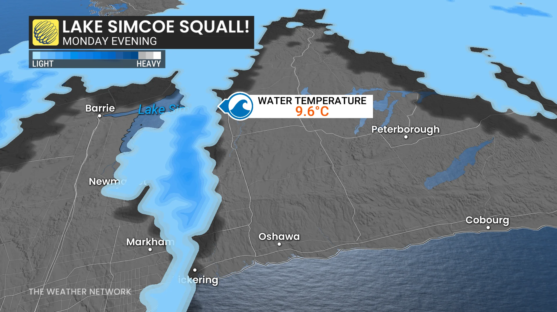
The instability is so extreme that it’s generating some minor lake-effect snow off of Lake Simcoe, which has a diameter of just 20 kilometres.
Deep moisture from passing trough
The upper-level trough over eastern Ontario is adding depth and lift to the setup, feeding moisture directly into the snow growth zone.
 The bottom line
An anomalously cold air mass, warm lakes, and precise wind alignment have combined into a textbook extreme but short-lived squall event.
While the wind shift on Tuesday will end it, the impacts will be intense and localized, especially southeast of Georgian Bay and Lake Huron, where travel could become dangerous with near-zero visibility and rapidly changing conditions.
WATCH: Early first snow brings commuting chaos in Toronto