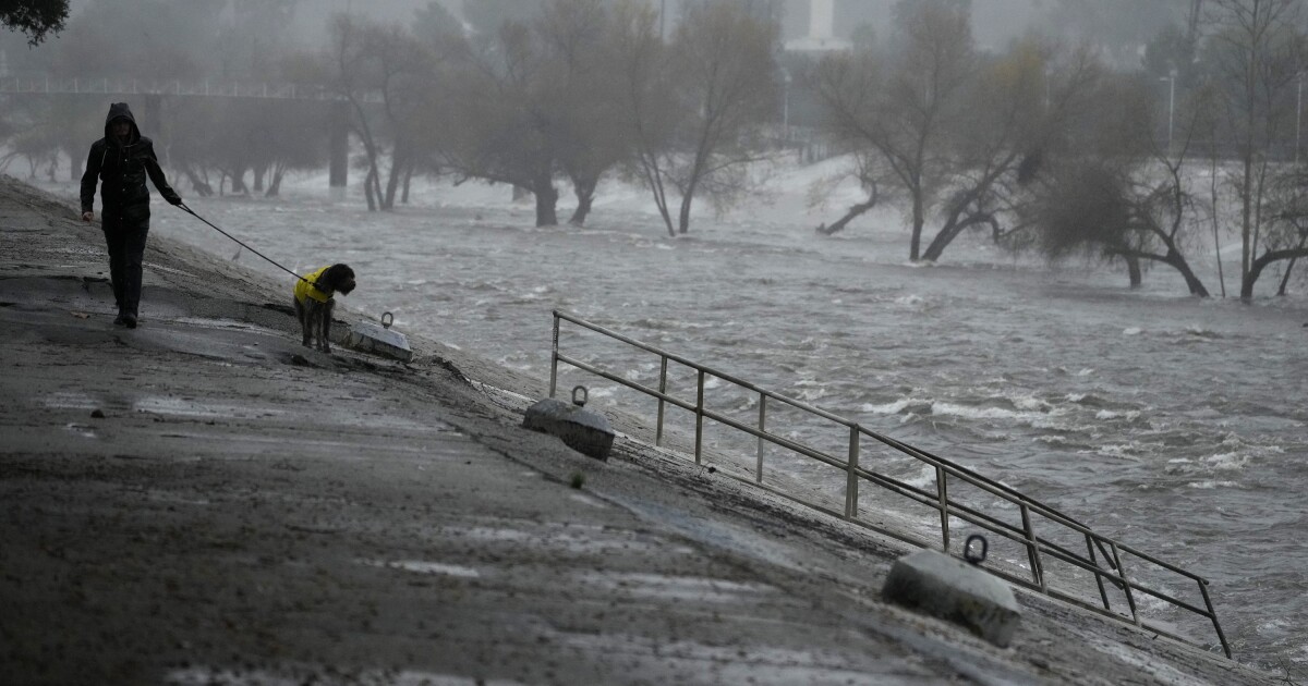
Why this approaching storm is so unpredictable
The upcoming storm has been tough for forecasters to nail down. The latest prediction is that the heaviest rain could arrive anytime between Thursday and Saturday.
Topline:
A storm arriving in Southern California this week is expected to drop up to 3 inches of rain in most areas. But as much as 6 inches could fall along coastal slopes, including recently burned areas, prompting evacuation warnings starting Thursday.
A weatherman’s woe: Forecasters were struggling Wednesday to pin down the exact timing, location and rainfall totals, according to the National Weather Service. The storm is difficult to predict because it’s a low pressure system that has detached from the more predictable jet stream. The uncertainty means some places, such as Ventura County, could see as much as 5 inches of rain, while L.A. County receives just one. It will all depend on how fast the storm moves through and if it parks over a particular area.
Debris flows possible: Rainfall rates could reach 1 inch per hour — which exceeds the threshold for triggering post-fire debris flows. If you live in or around a hilly area that recently burned, you should be ready to evacuate just to be safe. L.A. County officials have already
issued evacuation warnings
for recent burn scar areas that go into effect 6 p.m. Thursday through 11 a.m. Sunday. (Whether it’s fire season, rainy season or any season, it’s good to be signed up for emergency alerts.
Here’s a guide
.)
Wrapping it up: The storm could peak between Thursday and Saturday, and may stick around into Sunday. More rain could arrive late next week, but it’s still a bit far out for the NWS to reliably tell.

