
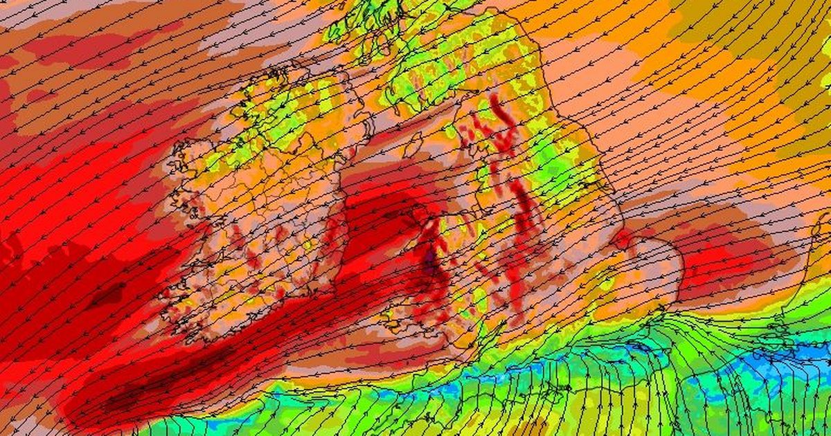
Very unsettled spell as temps to fall ‘below normal’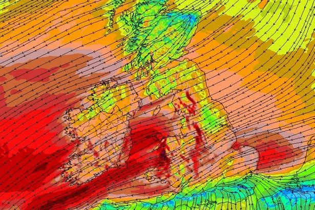 Friday night – strong winds likely across the South West(Image: WXCHARTS)
Parts of Munster could see the first frosts of the year shortly as temperatures are set to plunge into single digits – and close to freezing overnight – in the coming days.
The latest forecast from Met Eireann this morning is for the very unsettled, wet and windy conditions to continue into the weekend, with the prospect of strong to very strong winds on Friday evening and overnight. We could see further weather warnings over the coming days, following the two Status Yellow rain alerts since last weekend. And more rain into already swollen river systems will mean continued flood risk for many areas.
The Carrigrohane Road – one of the main routes into the city – remains closed this morning as flooding around the Lee Fields/Straight Road has not abated overnight. Spot flooding remains a risk across much of Cork after a period of exceptionally heavy rain.
The full forecast for Munster this morning looks like:
TODAY – Thursday 13th November
Today there will be scattered heavy showers and occasional sunny periods. Highest temperatures of 10 to 14 degrees with light to moderate variable winds.
TONIGHT
Tonight will be mainly cloudy. There will be scattered heavy showers early in the night and it will become drier for a time before outbreaks of rain or drizzle move in to southern areas later. It’ll become breezy with a moderate to fresh northeasterly wind. Lowest temperatures of 7 to 11 degrees.
TOMORROW – Friday 14th November
Tomorrow will be cloudy and wet with widespread rain or drizzle. Quite windy with a fresh to strong northeasterly wind. Highest temperatures of 8 to 12 degrees.
National Outlook
Overview: Rain or drizzle at times. Cool with temperatures a little below normal.
Friday night: Dry with clear spells in Ulster and north Connacht, but cloudy and wet across other areas. Quite windy with a fresh to strong northeasterly wind and lowest temperatures of 4 to 8 degrees.
Saturday: Northern areas are likely to see the driest and brightest weather on Saturday, with cloud and patchy rain or drizzle across the rest of the country, although this will become more isolated later. Rather windy at first, with fresh to strong northeasterly winds, but these will ease. Highest temperatures of 7 to 11 degrees.
Saturday night: Staying cloudy with isolated light rain or drizzle across the southern half of the country, but dry with clear spells further north. Lowest temperatures of 1 to 9 degrees, coldest under the clearest skies in the north of the country.
Sunday: Mainly dry with a mix of cloud and sunny spells. Highest temperatures of 7 to 11 degrees with light to moderate northerly winds.
Sunday night: Mostly dry with clear spells, although cloud will increase in the north and west at times, bringing a few light showers. Cold with lowest temperatures of 0 to 5 degrees, in a light west to northwest wind.
Monday: Cloud will gradually extend southeastwards across the country on Monday, bringing scattered outbreaks of rain. Highest temperatures of 7 to 10 degrees with light and variable winds.