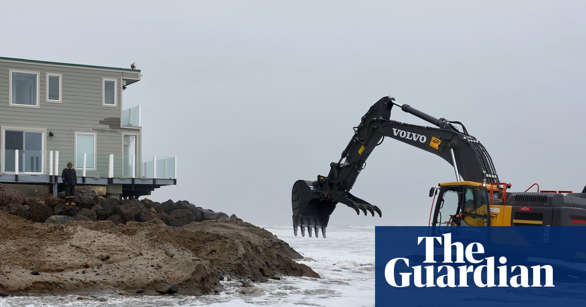
A powerful storm was making its way across California on Friday, prompting evacuation warnings as the state braced for the potential of floods, mudslides and even tornadoes over the weekend.
Heavy rain began to pummel northern and central California on Thursday evening, as officials and forecasters warned that hazards unleashed by the strong storm were likely to amplify as it moved south.
Communities in Santa Barbara, Ventura and Los Angeles counties – especially those near burn scars where there are higher risks for mudslides and debris flows – could be in for a dangerously wet weekend, with two surges of rainfall expected between Friday and Sunday.
Parts of southern California were predicted to see up to 5in of rain in 48 hours, according to the National Weather Service. Downtown Los Angeles could face its wettest November since the 1980s. Evacuation warnings were issued in some LA neighborhoods close to areas affected by recent wildfires, where burn scars can increase the risk of a mudslide.
These types of powerful rainstorms, known as atmospheric rivers, have long been important features of weather systems across the US west and are vital to replenishing the state’s reservoirs and snowpack. The rains are expected to provide at least some relief for parched landscapes and the high fire risks that linger into autumn.
But filled with enough moisture to rival the volume of the flow at the mouth of the Mississippi – and often many times more – the strong systems that carry water across the Pacific can often cause the most destructive floods.
The second surge, which is predicted to start on Friday night into Saturday, is causing the most concern. While it was still unclear how much rainfall would hit specific parts of the state and when, forecasters with the National Weather Service in Los Angeles said there was a “growing risk for significant impacts on Saturday including dangerous flooding, damaging debris flows and major road closures”, and urged residents to heed advice from local officials.
Santa Barbara, Ventura and Los Angeles counties are facing high risks for debris flows and road and urban flooding. There’s even a chance that a tornado could develop, along with strong, damaging winds.
“Saturday would be a great day to plan indoor activities & avoid traveling if possible to stay safe,” the National Weather Service in Los Angeles posted with a forecast update on Thursday evening.
Heavy snow is also expected, with up to a foot dumped along the slopes of the Sierra Nevada and up to 18in along the highest peaks.
Most of the dangers have passed in the San Francisco Bay Area, and officials allowed previously issued wind and flood advisories to expire on Thursday evening. The strongest gusts of wind reached 80mph in Marin county.
Meanwhile, southern California counties were bracing for the strong rains to begin. Topanga Canyon Boulevard, a mountain thoroughfare that was heavily hit by the Palisades fire at the start of the year, closed at 10pm on Thursday due to high risks of debris flows there, according to the California department of transportation.

