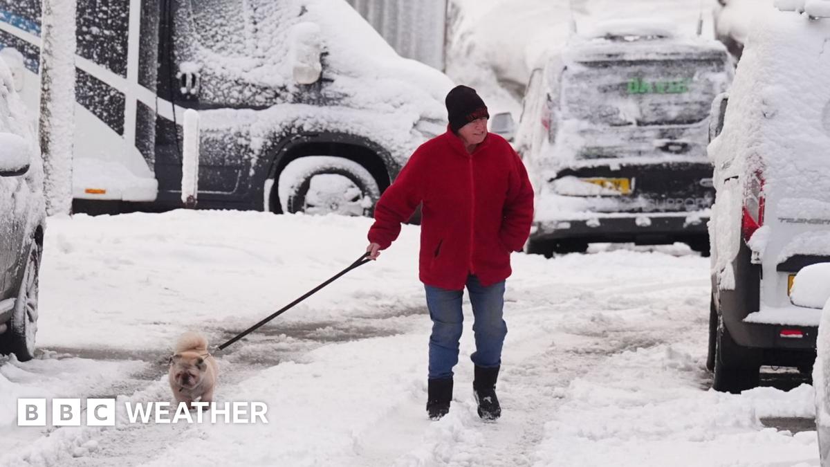
Hills of Wales, northern England, Northern Ireland and Scotland are forecast to see around 2-5cm (0.8-2in) of accumulating snow, with more on higher ground.
Areas from London to Northumberland saw snow, with accumulation in parts of Scotland, northern England and Wales. Met Office weather stations in Lake Vyrnwy in Powys, Wales and in Altnaharra in the Scottish Highlands recorded 7cm of snow.
Met Office yellow warnings for the Midlands and southern Scotland were in place until 11:00 GMT, while snow and ice warnings in Northern Ireland, northern Scotland, south-west Wales, and other parts of England will remain into Thursday.
The North York Moors and parts of the Yorkshire Wolds will see a more severe amber warning come into force from 03:00 to 21:00 GMT on Thursday.
By the end of Thursday, those hills above 100m elevation could accumulate as much as 15-25 cm of snow.
This is likely to cause “substantial disruption” with rural communities being cut off, vehicles becoming stranded and potential for power cuts.
Gusty winds leading to blizzards and thunderstorms may bring additional hazards.

