
Meteorologists and weather experts are eyeing the end of the week across Ontario, expecting another blast of winter.
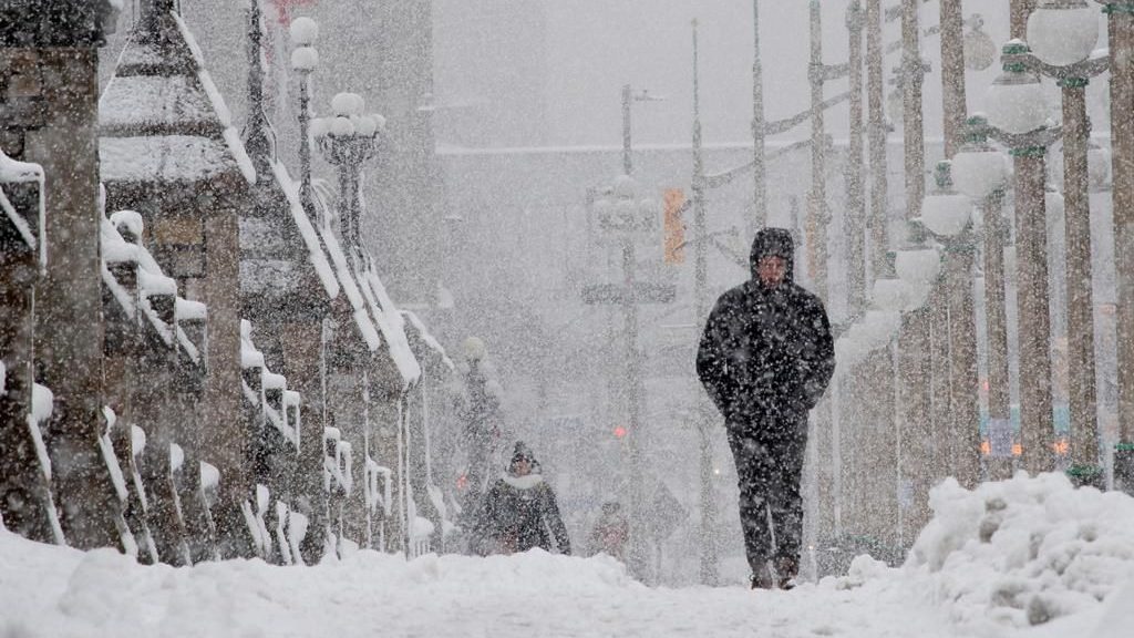
Parts of northern Ontario are bracing for snow this week, with forecasters warning of significant snowfall and lake‑effect squalls set to hammer southern regions as November draws to a close.
A developing low‑pressure system south of Lake Superior late Tuesday is expected to trigger widespread snow through Thursday, creating hazardous travel conditions across northern Ontario. Environment Canada has issued winter storm watches for dozens of communities in the northern parts of the province, including Thunder Bay, Timmins, Kapuskasing, Marathon, and Wawa.
“Strong northerly winds will also accompany the snow, leading to possible blowing snow that could reduce visibility to near zero at times,” writes Environment Canada on Monday. “There remains uncertainty with the exact track of the low-pressure system, and therefore the corridor of heaviest snowfall. Total snowfall amounts may exceed 30 cm for some locations north of Lake Superior.”
Drivers are being urged to prepare for poor visibility, slick roads and possible closures.
The forecast for the nation’s capital is calling for snow, but predictability is low this far out.
Environment Canada shows a high of 2 C and temperatures hovering around 0 C on Friday. Overnight temperatures will be cooler around -10 C.