What to know
A winter storm is expected to hit northern Ontario late Tuesday–Thursday, bringing 20–30+ cm of snow along Lake Superior and into Timmins, ON.
A second lake-effect snow event is set to move into southern Ontario from Thursday to Saturday, with 15–20 cm possible but totals still uncertain.
Strong winds up to 70–80 km/h and a sharp temperature drop could make travel challenging across the province.
An expert urges Ontarians to switch to winter tires, prepare winter gear and plan ahead for potentially hazardous road conditions and holiday travel.
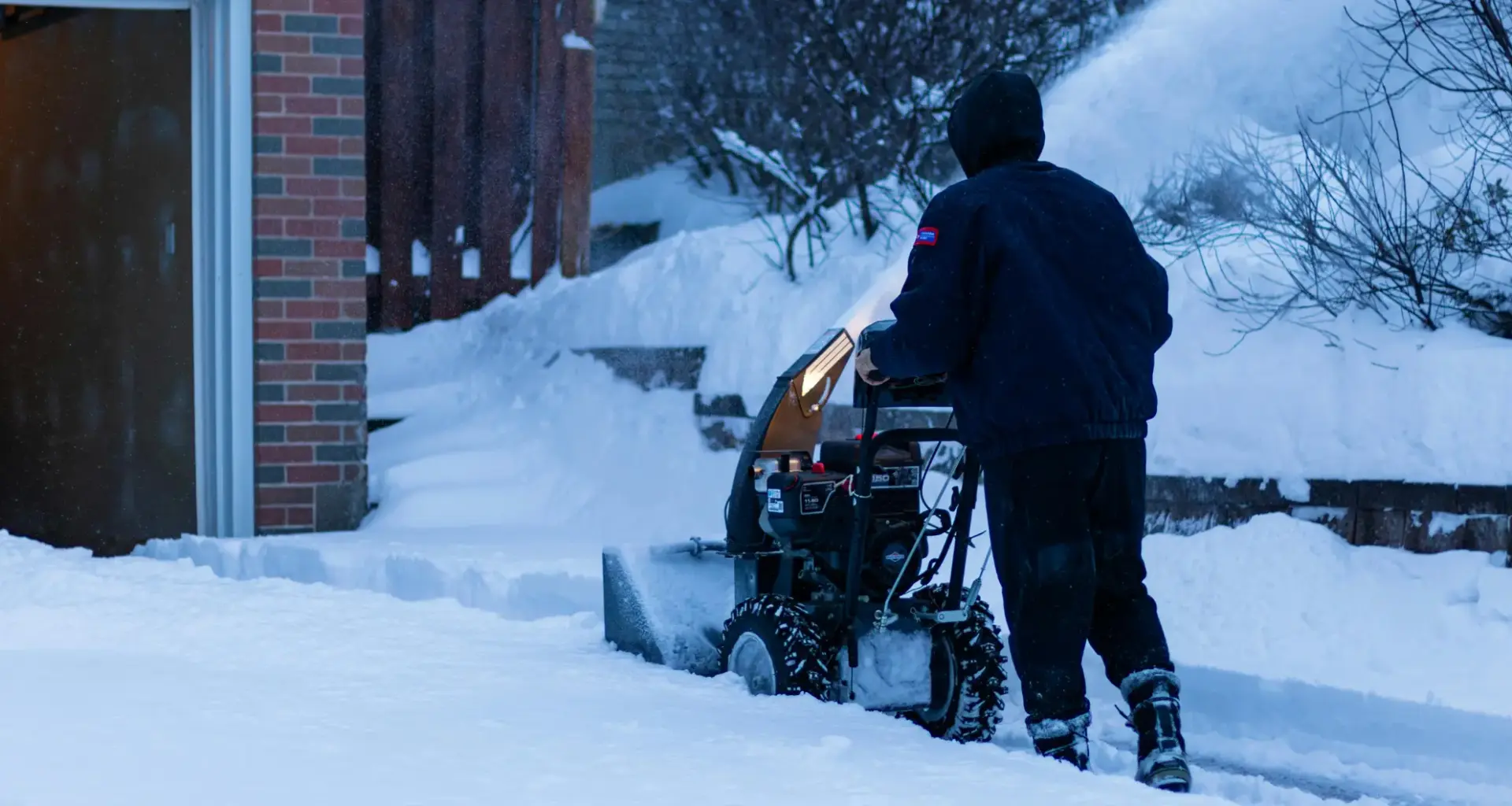
It’s beginning to look a lot like winter, Ontario! A multi-day weather event is expected to bring significant snowfall and strong winds across the province this week. Here’s what you need to know to be prepared.
A recent forecast by The Weather Network reveals that a lake-effect snow event is expected to hit the province later this week, bringing heavy snow to parts of northern Ontario, and snowbelts to southern Ontario, which might make travelling across the province a tricky task.
Weather Network Meteorologist Rachel Modestino tells Now Toronto that a winter storm will hit northwest and northeastern Ontario along Lake Superior’s shorelines all the way up into Timmins, bringing anywhere between 20 to over 30 centimeters of snow, beginning late Tuesday through Thursday.
HOW WILL IT AFFECT SOUTHERN ONTARIO?
As the winter storm moves out, it is expected to carry in arctic air, which will then lead to a second significant snow event, this time across southern Ontario.
“When we get a recipe that has cold [and] arctic air over the relatively warmer waters of the Great Lakes, they interact and produce their own weather in the form of lake effect snow or rain. In this case, we are expecting it to be a lake-effect snow event,” Modestino explained.
This second event is expected to reach the region Thursday morning and last through Saturday. According to Modestino, it is still too early to predict exactly how much snow will hit the region, but it could be “anywhere from 15 to 20 centimeters.”
“It’s a little bit easier to forecast large synoptic snow events. The lake effect snow is a little bit more finicky, because they severely impact a region that’s maybe a kilometre or two across. So, it’s a shorter, smaller scale weather feature. So, exact totals are uncertain,” she added.
“It does look like they will have some movement. So, it’ll be moving. It’ll be affecting a different region Thursday [then] it will be on Friday.”
The snowfall could also hit Toronto, bringing snow especially across the north of the city, with more intense effects possible Friday morning, according to the expert.
Besides snow, the weather event is also going to be bringing windy conditions to the region, with winds reaching 70 to 80 km/h, especially towards the south of Ontario, including Windsor and areas downwind of the Great Lakes.
Modestino adds that the last days of November will be marked by colder temperatures, hovering near the freezing mark as December approaches. The temperature drop is also a result from a rare phenomenon that has disrupted the polar vortex, bringing the North Pole’s cold air down to Canada.
Read More
TORONTO FORECAST THIS WEEK
Environment Canada’s forecast for Toronto indicates that milder temperatures will last through Wednesday, with a high of 9 C on Monday and Tuesday, and a low of 4 C and 7 C, respectively. Wednesday is set to see a high of 9 C with temperatures dropping to -1 C at night.
After that, through Sunday night, the daily highs will be around 1 C to zero, while lows are expected to hit – 2 C on Thursday, – 5 C on Friday, and – 3 C on Saturday.
HOW CAN ONTARIANS PREPARE?
Earlier this month, when the first snowfall of the year hit the city, Toronto alone registered over 200 car collisions, as many were not prepared for the event.
Read More
With winter conditions set to ramp up this week, Modestino urges Ontarians who have not yet done so to change to winter tires.
As temperatures fall below the freezing mark, the meteorologist also advises that it is time to dust off winter jackets, scarves, beanies, and other winter gear.
“Even if the lake effect event doesn’t impact your neck of the woods, there are several others that we’re keeping a close watch on. Another one possibly happening as early as Sunday, so just hoping that people don’t get taken by surprise and get their winter tires on before December really gets rolling.”
Modestino also warns those planning to head south of the border for American Thanksgiving or other holiday celebrations that a winter storm watch is in effect south of Buffalo, which could affect their travel plans.

