
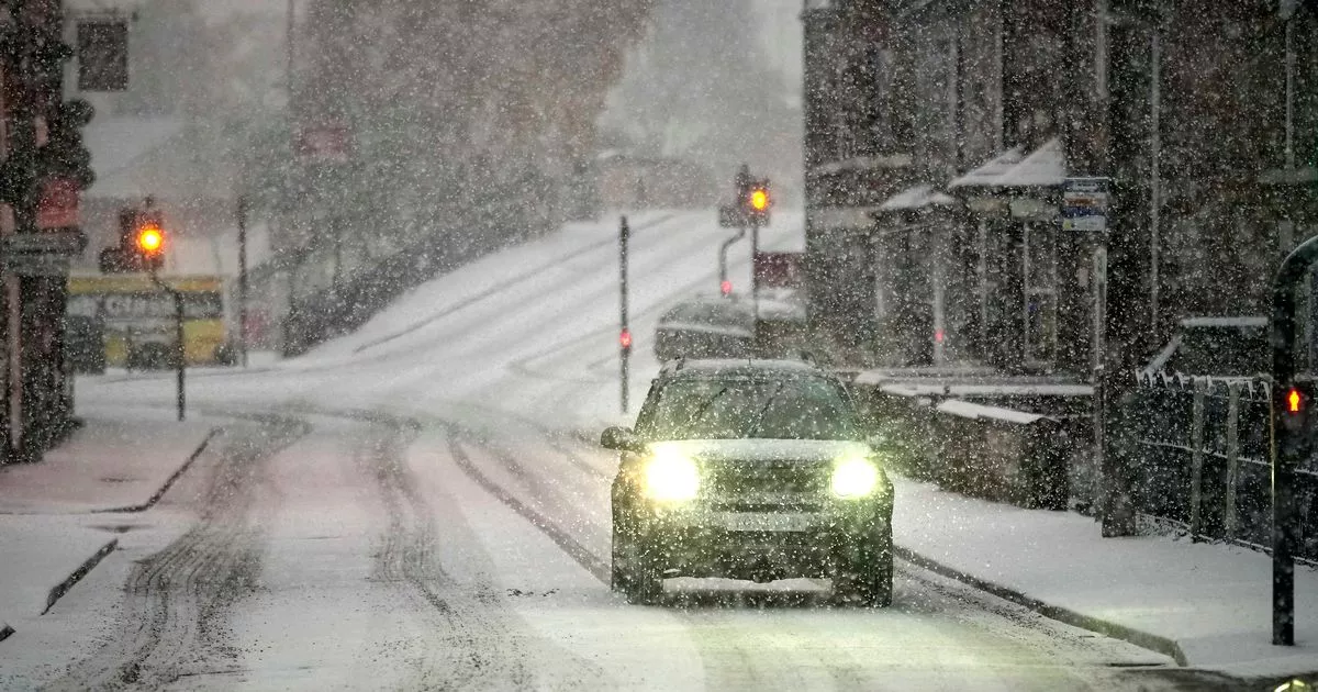
Met Eireann has forecast a bitterly cold weekend, with temperatures plunging as low as -2C, while weather models indicate snow could return.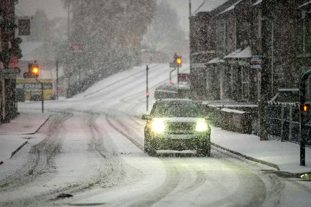 10/10/22 – Cars make their way through a snow flurry (file photo)(Image: 2022 Getty Images)
Ireland looks set to face another bitterly cold blast this weekend, with temperatures plunging as low as -2C and snow flurries returning to some parts of the country.
After a week of cold weather, Met Eireann says today will be “milder than recent days”, with daytime highs ranging from 10C to 14C. In an unusual update for tonight, it added: “A mild night with temperatures not falling below 9C to 13C, so they’ll be similar to the daytime values.”
Tomorrow, some areas could see highs of 15C, but the warmth will come with a band of persistent rain moving eastwards throughout the day.
Friday, November 28, will bring blustery weather, with widespread showers turning heavy at times, accompanied by a chance of hail and even thunder. Temperatures will start to drop, and by Friday night, a sharp plunge is expected with frost, ice and patches of fog forming across the country. The national forecaster says it will be a “chilly end to the week and for the weekend”.
Saturday, November 29, looks set to be a cold day, with highs of just 6C to 9C. Saturday night could be frosty too, with temperatures forecast to fall as low as -2C and Met Eireann predicting “some frost and ice forming”.
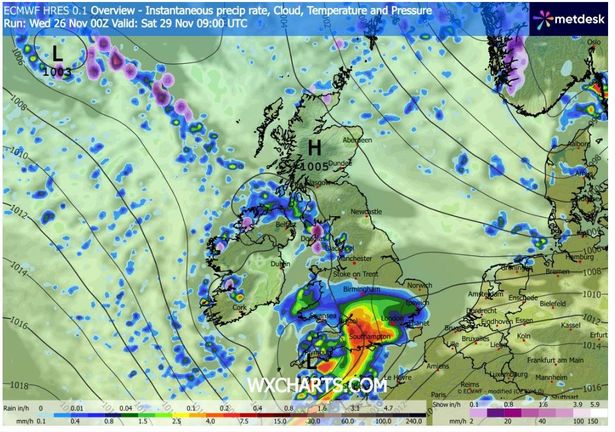 Purple patches on these weather models indicate snow falling in some areas on Saturday(Image: WXCharts)
And Sunday, November 30, will see “a cold and frosty start” with daytime highs of between 5C to 10C.
While Met Eireann’s official forecast doesn’t specifically mention snow, weather models suggest wintry conditions could develop over the weekend.
Snow flurries are most likely to affect western and northern areas on Friday, with further outbreaks possible on Saturday. The most significant falls are signalled for Sunday in both northwest and eastern regions.
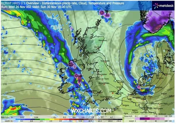 Purple patches on these weather models indicate snow falling in some areas on Sunday(Image: WXCharts)
As always, these early forecasts are subject to change, but models indicate that winter conditions could be making a return, with a bitterly cold weekend potentially bringing more snow flurries.
Before the potential Arctic blast fully sets in, Friday night may bring stormy weather in parts of the country. Met Eireann has warned there is still some uncertainty, but said that there is a small area of low pressure which could develop to the south of Ireland, potentially bringing unsettled weather.
The weather service explained: “There’s some uncertainty in the forecast for Friday night. There’s a chance that a small scale area of low pressure may develop close to the south of Ireland bringing persistent heavy rain for a time, especially further to the south, with the possibility of strong winds as well.
“However, this area of low pressure will most likely stay further to the south, in which case we’ll see a mix of clear spells and further scattered heavy showers, some of hail and some possibly thundery. In this most likely scenario the winds are likely to gradually ease, with the chance of frost, ice and some fog patches developing, with lowest temperatures of 0C to 6C.”
Subscribe to our newsletter for the latest news from the Irish Mirror direct to your inbox: Sign up here.