
Calgarians should prepare for the city’s second significant wave of snow this season, set to begin Thursday afternoon.
Meteorologist Kevin Stanfield of 660 NewsRadio says the system will move in late in the day, bringing steady snowfall overnight and into Friday morning before tapering off around noon.
Wind gusts from the north, reaching up to 40 km/h overnight, are expected to accompany the storm, creating blowing snow and reduced visibility. Altogether, around five centimetres is expected to fall across the city.
It comes just days after Calgary broke a decades-old snowfall record on Monday, when police responded to nearly 500 collisions during the day’s treacherous conditions.
Environment Canada’s forecast for Thursday calls for a mix of sun and cloud with fog patches in the morning, with skies turning overcast near noon. The snow is expected to begin late in the afternoon, with winds up to 15 km/h and a daytime high of –6 C.
Friday will bring periods of snow and a high of –13 C, before skies clear overnight with a low of –17 C.
The weekend forecast will offer some relief from the cold with sunny skies Saturday with a high of –11 C, and a mix of sun and cloud Sunday with temperatures climbing to 3 C. By Monday, Calgarians may even see a touch of warmth, with a high of 4 C under partly cloudy skies.
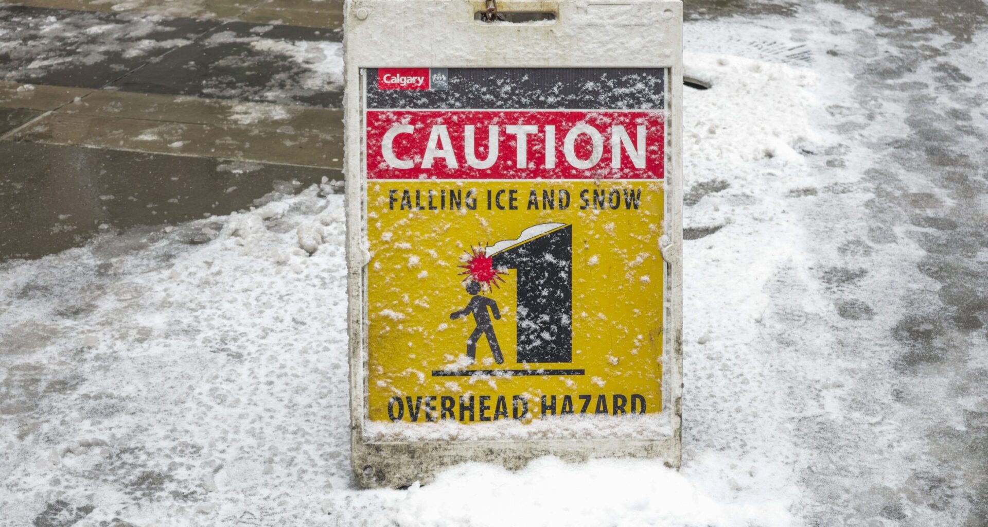
City officials are urging drivers to exercise caution and allow extra time for travel as more snow moves in, reminding residents of the hazards seen earlier this week.
The current conditions in Calgary and the extended forecast can be found here.
Listen to 660 NewsRadio or tune into CityNews 24/7 for the latest in breaking news, traffic, and weather