
Multiple inches of snow will fall on St. Louis early Saturday morning, with communities north of the metro area expecting even more.
ST. LOUIS — St. Louis is gearing up for its first winter storm of the season, and the 5 On Your Side Weather Impact Team has shared an early breakdown of just how much snow the region could see.
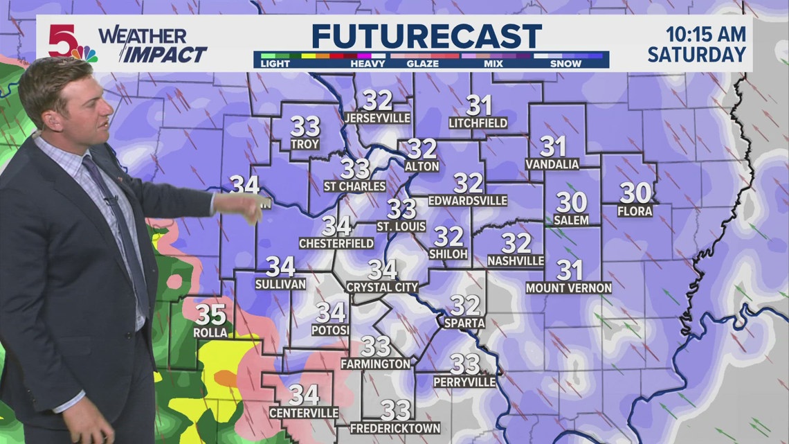
Meteorologist Garry Frank shared the breakdown early Friday morning, ahead of the forecasted widespread snowfall early Saturday. The best time for snowfall is expected between 6 a.m. and noon on Saturday, before the coldest air moves out of the region and snow gives way to rain.
“When we have high snowfall rates … that overcomes the warm ground surface, that’s when even the warmest pavement is going to be impacted by big wet snowflakes that make it cold quickly, leading to accumulation,” Frank said. “The warmer air to the southwest will cause a transitional line between rain and snow, and I think you’re going to see more of that throughout the day.”
Because of that warmer air, areas to the north will see heavier snow and lower visibility compared with communities to the south. Here’s a breakdown of projected snowfall totals, which may change as the storm nears:
Litchfield, Illinois: 6 to 8 inches most likely, with a minimum of 2 inches and a maximum of 11 inchesJerseyville, Illinois: 4 to 6 inches most likely, with a minimum of 2 inches and a maximum of 11 inchesBowling Green, Missouri: 3 to 5 inches most likely, with a minimum of trace amounts and a maximum of 10 inchesSalem, Illinois: 3 to 5 inches most likely, with a minimum of trace amounts and a maximum of 9 inchesSt. Louis: 2 to 3 inches most likely, with a minimum of trace amounts and a maximum of 7 inchesWarrenton, Missouri: 2 to 3 inches most likely, with a minimum of trace amounts and a maximum of 6 inchesNashville, Illinois: 1 to 3 inches most likely, with a minimum of trace amounts and a maximum of 7 inchesFarmington, Missouri: trace amounts to 2 inches most likely, with a maximum of 3 inchesCenterville, Missouri: trace amounts to 1 inch most likely, with a maximum of 2 inchesRolla, Missouri: 0 inches most likely, with a maximum of 1 inch.
READ MORE: Winter storm brings heavy snow and wintry mix to the St. Louis area during Thanksgiving weekend
5 On Your Side meteorologists will use Weather Impact Alerts to let you know when impactful or dangerous weather is expected as soon as there is confidence in disruptive weather happening in our area.
Download the free 5 On Your Side app to get the latest watches and warnings and track conditions live with our interactive radar. Use the links below to download now.
5 On Your Side news app
iPhone | Google Play
To watch 5 On Your Side broadcasts or reports 24/7, 5 On Your Side is always streaming on 5+. Download for free on Roku or Amazon Fire TV.