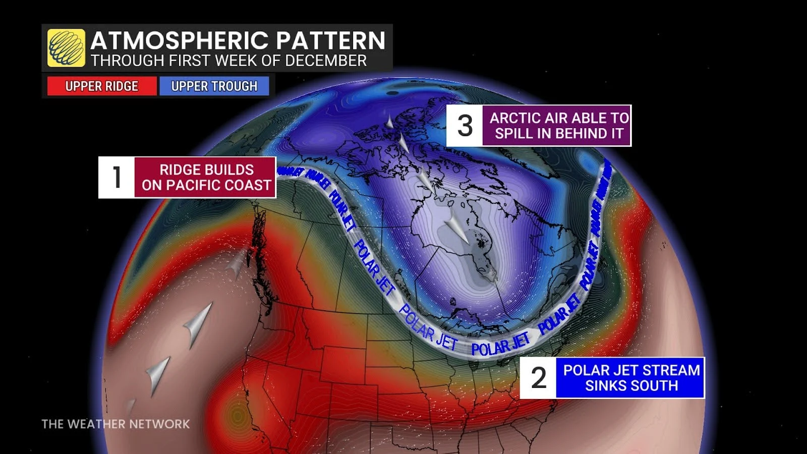
Feels-like values will range between -10 and -25 across the provinces on Saturday. By Sunday, we’ll see some warmer temperatures gradually slide from west to east.
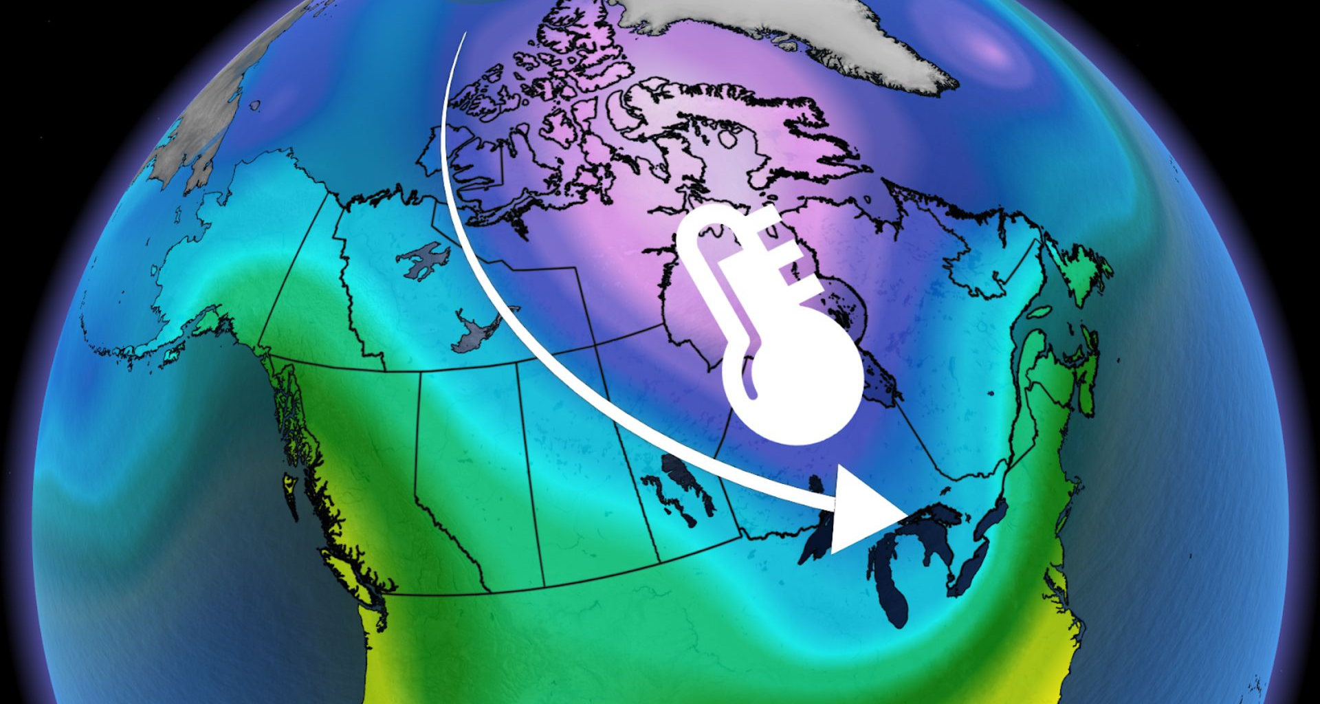
The respite from the cold won’t last very long, though, as we’ll see another shot of Arctic air slide down to the eastern Prairies and northwestern Ontario by midweek. With the wind chill, it will feel like -10 to -30.
Northern Manitoba will be hit especially hard by the Arctic air, and it’s here we’re most likely to see those wind chills reach -30.
 Cold air close behind the snow in Ontario and Quebec
Winter weather has already made its debut in Ontario and Quebec after rounds of heavy snow fell over the provinces to end November.
Another snowy system will make its way through Ontario on Sunday, then moving into southern Quebec. Once that system has passed, we’ll see daytime temperatures in southern Ontario steadily drop below freezing for the first week of December.
SEE ALSO: When is the cold too cold? How extreme cold warnings are issued
With some lingering winds, major cities such as Windsor, Toronto, Ottawa, and Montreal will see temperatures feel more like -5 to -15.

