
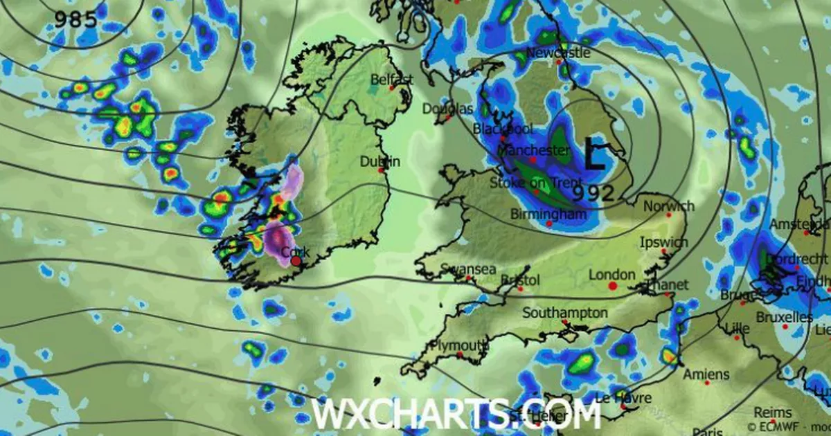
Some wet and wild weather expected before a calmer weekend ahead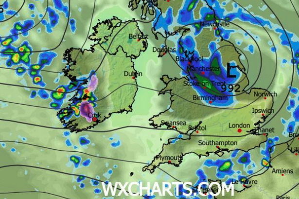 Current outlook for a potential sleety snow shower (shown in purple) on Thursday (Image: WXCharts)
Met Éireann forecasters are tracking a period of particularly unsettled conditions set to move in across Ireland through this evening and overnight, with weather experts predicting thunderstorms, hail, and blustery gales along the coast in the coming days. We can look forward to more freezing conditions before temperatures slowly take a milder turn over the weekend.
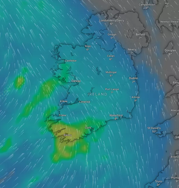
As for any chance of snow, several weather radars are still indicating a possibility of some snowfall over Munster, particularly in parts of higher ground in North Cork, tomorrow. As temperatures plunge towards freezing on Thursday night, current weather trackers predict the possibility of a small dusting of snow over some parts.
However, most of us will only see rain and hail with some unpleasant, wet conditions expected over the coming days. Tonight, temperatures are expected to drop as low as 0 degrees in some areas, accompanied by hail and isolated thunderstorms that are forecasted to persist into tomorrow morning. And on Friday, the current outlook is for gusty coastal gales before things settle a bit over the weekend.
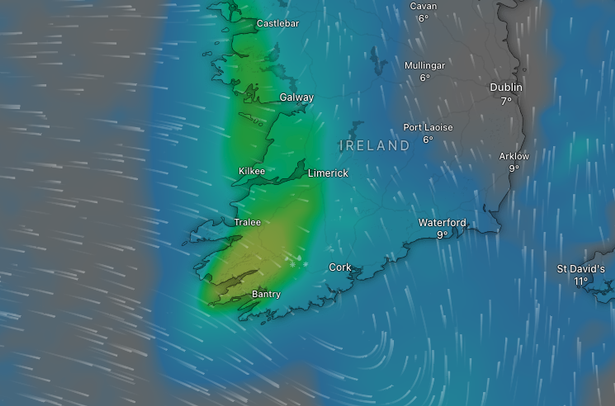 Lashings of rain to hit the southwest tonight(Image: Windy.com)
Here’s the Wednesday morning latest:
Today – Scattered showers across Cork and Munster this morning with sunny spells developing. The showers are mainly in the west of the province, and are more isolated in the east. Cloud will build from the southwest later this morning with outbreaks of rain and drizzle developing in the afternoon, turning heavy at times in the evening. Highest temperatures of 7 to 11 degrees with light to moderate southwesterly winds, freshening at times in the evening. It will be cloudy and wet for a time tonight. The rain will clear northeastwards as clear spells and showers follow, some heavy with a chance of hail and isolated thunderstorms. Lowest temperatures of 0 to 4 degrees in mostly light to moderate southwesterly winds.
Tomorrow – Sunny spells with scattered showers tomorrow morning, some heavy with a chance of hail and isolated thunderstorms. More widespread showers or longer spells of rain will spread from the west through the afternoon and evening. Highest temperatures of 6 to 10 degrees in light to moderate southwesterly winds. Overnight, there will be showers at first, and it will turn mostly dry for a time before rain moves in over the southwest by morning. Lowest temperatures of 1 to 6 degrees, coolest in the north and east. Southerly winds will increase moderate to fresh through the night.
Friday – Turning wet and rather windy for a time with rain extending northeastwards with southeasterly winds increasing strong and gusty with gales at times on exposed coasts. Scattered showers and some sunny spells will follow from the southwest through the afternoon and evening as winds ease moderate to fresh southwesterly. Some of the showers will be heavy. Highest afternoon temperatures of 6 to 12 degrees, warmest further south. The night will be rather cloudy with scattered showers or longer spells of rain. Lowest temperatures of 5 to 9 degrees with mostly moderate southwesterly winds, freshening in the southwest later.
 Nasty, heavy bout of rain forecast to push in on Friday morning
Saturday – Breezy with scattered showers in the morning and just limited sunny spells. In the afternoon, the showers will ease with better spells of sunshine developing. Highest temperatures generally of 9 to 11 degrees with moderate to fresh southwest to west winds Sunday – A damp start to the day with outbreaks of rain and drizzle, clearing northeastwards before becoming largely dry with sunny spells for the afternoon. Highest temperatures of 9 to 12 degrees with moderate southeast winds veering southwest. As for the new week, current indications suggest a fair amount of dry weather on Monday, with just some showers. Potentially turning rather unsettled on Tuesday.