
Much of the Greater Toronto Area is expected to see light to moderate snowfall this afternoon, avoiding the brunt of a major winter storm that could dump up to 50 centimetres of snow in other parts of Ontario.
While Toronto and surrounding areas brace for flurries, gusty winds and reduced visibility, Environment Canada says the most intense snowfall will stay outside the GTA, where snow squall warnings stretch from eastern Ontario to the Lake Huron shoreline and well into the north.
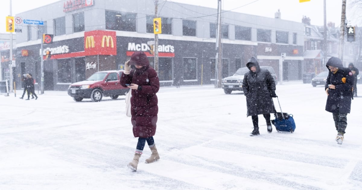
A closer look at Toronto and Brampton
Environment Canada says Toronto and Brampton can expect flurries ending late Thursday afternoon, followed by partly cloudy skies, with snowfall amounts of two to four centimetres.
Winds are forecast to blow north at 40 km/h, gusting to 70 km/h before easing later in the day, with temperatures near -4 C and wind chills approaching -14.
Already, the City of Toronto says several salt truck have been deployed, adding that residents can submit service requests online.
Special weather statements in effect for rest of GTA
Officials say parts of York Region, including Vaughan, Markham and Richmond Hill, remain under a special weather statement as lake-effect snow from Lake Huron and Georgian Bay passes throughout the region.
The national weather agency warns of “short bursts” of heavy snow, reduced visibility and local snowfall amounts of up to five centimetres by Thursday evening.
“Travel may be hazardous. Visibility may be suddenly reduced to near zero at times,” the agency said, noting roads and walkways could become difficult to navigate due to accumulating snow.
Similar conditions are expected across Pickering, Oshawa and southern Durham Region, where flurries are set to end Thursday afternoon. Officials are predicting snowfall amounts of two to four centimetres, with wind chills nearing -18.
Heavy snow for the rest of Ontario
Snow squall warnings remain in effect across a wide stretch of Ontario, from Lindsay in the east to Grand Bend in the west, extending north to Tobermory and Manitoulin Island.
Many parts of Ontario including Barrie (20-40 cm), Innisfil (20-40 cm), Newmarket (10-20 cm), Orillia (20-40 cm), Uxbridge (10-20 cm) and Saugeen Shores (30-50 cm) are under a yellow snow squall warning.
Yellow: Hazardous weather may cause damage, disruption or health impactsOrange: Severe weather is likely to cause significant damage, disruption or health impactsRed: Very dangerous and possibly life-threatening weather will cause extreme damage and disruption
Toronto’s forecast the rest of the week
CP24 meteorologist Bill Coulter says the colder temperatures will persist throughout much of the week, heading into next week with occasional flurries and temperature swings.
Friday is expected to be mainly cloudy with a lighter breeze and a high of -1 C, while Saturday may bring morning flurries before some afternoon clearing and a high near zero.
Sunday will feature mainly cloudy skies and gustier winds with a high of -3 C, followed by sunnier but colder conditions Monday at -5 C.
Light snow and gusty winds are forecast to return Tuesday, with daytime highs climbing back to -1 C.