
An atmospheric river is barreling towards Western Washington, bringing a risk of major river flooding and landslides in an especially soggy week, according to the National Weather Service.
The rainfall will come in hot on Monday, gradually tapering off Tuesday before picking up again Wednesday, said Logan Howard, a meteorologist at the National Weather Service. Forecasters anticipate 2 to 3 inches of rain from Monday to Wednesday in Seattle.
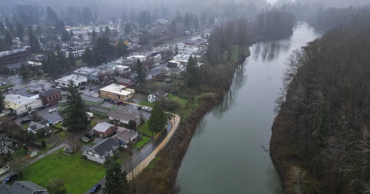
Meanwhile, the Cascades will get pummeled with rain, with many slopes expected to get 5 or more inches, causing rivers to swell as all that water makes its way downstream to Puget Sound.
The flood forecast had slightly intensified on Sunday. Howard noted conditions could shift rapidly throughout the week as rainfall totals continue to fluctuate.
As of Sunday evening, here are river forecasts to monitor for major flooding, a stage that’s already feet above the point where a river spills over its banks.
By 10 p.m. Monday, the Skykomish River near Gold Bar will likely crest inches over major flood stage, recede on Tuesday morning, then come close to major flood stage again Wednesday, only fully receding by daylight on Thursday.
The Puyallup River near Orting will crest a first time around 10 p.m. Monday, then two more times, likely coming right up to a record flow (21,500 cubic feet per second) around 4 a.m. Wednesday.
The Snoqualmie River at Snoqualmie Falls is expected to hit a high-water mark about a foot over major flood stage at 4 a.m. Tuesday, cresting again right at major flood stage around 4 p.m. Wednesday. The Snoqualmie River near Carnation will likely hit major flood stage Tuesday morning, lingering more than a foot above major flood stage until Thursday night, except for a brief reprieve Wednesday when waters are expected to recede to minor flooding.
The Cowlitz River at Packwood will rise to inches over major flood stage around 4 a.m. Tuesday, then recede, then rise again back to a foot over the major stage by 4 a.m. Wednesday. The Cowlitz River at Randle will likely see serious flooding by 10 a.m. Tuesday, with waters expected to gradually swell up to 2 feet over major flood stage, peaking all day Thursday and receding late Friday.
The Skagit River near Concrete will be inches over major flood stage by 4 a.m. Tuesday, receding by afternoon. The Skagit River near Mount Vernon, meanwhile, will rise to inches over major stage by nightfall Tuesday, receding by noon Wednesday.
The Snohomish River near Snohomish will likely swell within inches of major flooding from Tuesday afternoon until Friday.
“We are encouraging people who live in our flood-prone communities in the river valleys — Index, Gold Bar, Sultan, Monroe, Snohomish, Granite Falls, Arlington, Silvana, Stanwood — to be prepared for high water particularly starting Monday and lasting into mid-week,” said Scott North, spokesperson for the Snohomish County Department of Emergency Management, in an email.
Seattle may see some ponding on the highways, but most river flooding will occur on the city’s outskirts.
“Many of us commute in the dark this time of year,” North added. “Be vigilant for roads blocked by debris and never attempt to drive through standing water. As little as a foot can float a car, and there is no way to gauge the depth from behind the wheel.”
An atmospheric river is a plume of moisture that rolls in from the subtropical Pacific Ocean. While most atmospheric rivers are not dangerous, the one rolling into the region will bring days of rain and gloom.
Which creates flooding and landslide risks.
“Winds will increase Monday morning, becoming breezy area-wide by the afternoon and evening,” according to the weather service.
Wind gusts are expected to top 45 mph around Puget Sound, slightly higher on the Pacific coastline.
National Weather Service precipitation maps show the heaviest rainfall west of the Cascades and Olympics. King, Snohomish, Pierce, Skagit and Lewis counties should expect to get soaked.
“You’re going to see moderate to heavy rain for all of Western Washington,” National Weather Service meteorologist Samantha Borth said.
Given higher snow levels at 5,000 to 6,000 feet and wet soil conditions, “there will be an elevated risk for landslides due to the heavier rainfall runoff,” according to the National Weather Service.
Sheri Badger, spokesperson for King County’s Office of Emergency Management, said officials are working with the state and city leaders to prepare for the floods. But there’s only so much they can do.
“It’s really hard to do anything to prevent [landslides] and even to know where they’re going to be,” Badger said.
King County offers free sandbags throughout the county. More information on sandbag locations is available on the King County Flood Services webpage. Badger said the County’s Flood Warning Center will open on Monday, with more information at 206-296-8200 or toll free 800-945-9263.