
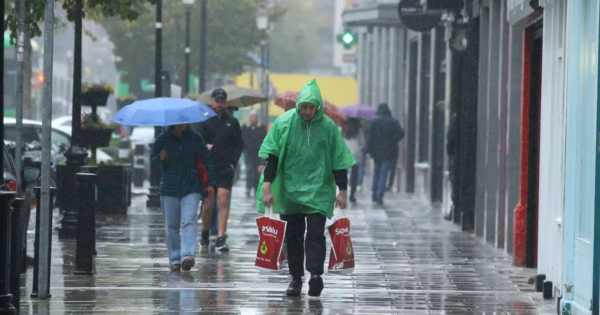
Ireland faces yet more weather disruption as strong winds return just hours after Storm Bram, with a new Met Eireann warning issued. There will be outbreaks of rain and drizzle over the next few days(Image: Collins)
Parts of Ireland are bracing for yet another blast of strong winds, just hours after Storm Bram tore across the country, leaving a trail of destruction behind.
Thousands of homes, farms and businesses across the island remained without power this morning after the powerful system ripped through on Tuesday.
At one point, every single county in Ireland was placed under an orange wind warning as Bram swept in. Gusts hit speeds of up to 119km/h at the storm’s peak, while heavy rain triggered surface and river flooding in several areas.
The severe winds brought down trees and caused major travel disruption on roads, rail lines and at airports. Dublin Airport said today that operations were “largely back to normal” after more than 90 flights were cancelled due to the storm.
But the unsettled weather is far from over. Met Eireann has now issued a new wind warning for three counties, in effect from midnight until 7am.
The Status Yellow alert covers Galway, Kerry and Mayo, with the national forecaster warning of “strong and gusty southerly winds mainly affecting coastal parts”.
Possible impacts include debris on roads, displaced loose objects, fallen trees or branches and difficult travel conditions.
Met Eireann said tonight will “become windy in a strengthening southerly wind, especially near the west coast.”
And the outlook for the days ahead offers little relief. It added: “A mobile Atlantic flow will dominate for the rest of the week and into next week too, bringing a continuation of the unsettled weather.”
Giving a day-by-day breakdown of what to expect, it said: “Thursday will start out windy with fresh to strong and gusty southerly winds and outbreaks of rain advancing eastwards over the country through the morning and afternoon. A clearance will develop in Atlantic counties during the afternoon but it will be after dark before the rain clears eastern counties. Winds will ease light with the clearance of the rain. Highest temperatures of 9C to 12C.
“A cool and crisp start Friday with sunshine for many, however some showers will affect Atlantic fringes. Showers will gradually extend into west and northwest counties, some heavy with the chance of hail and isolated thunderstorms. It will however remain largely dry elsewhere. Rather breezy, in a moderate to fresh southwest wind. Highest temperatures of 7C to 11C.
“Starting off mostly dry Saturday with sunny spells but breezy. Southwest winds will further strengthen, as cloud and outbreaks of rain arrive into Atlantic counties during the afternoon, bringing spot flooding, and extending nationwide later. Highest temperatures of 9C to 12C.
“Some uncertainty to the detail but indications suggest Sunday will be a day of cloud and sunny spells with blustery showery rain.”
Subscribe to our newsletter for the latest news from the Irish Mirror direct to your inbox: Sign up here.