
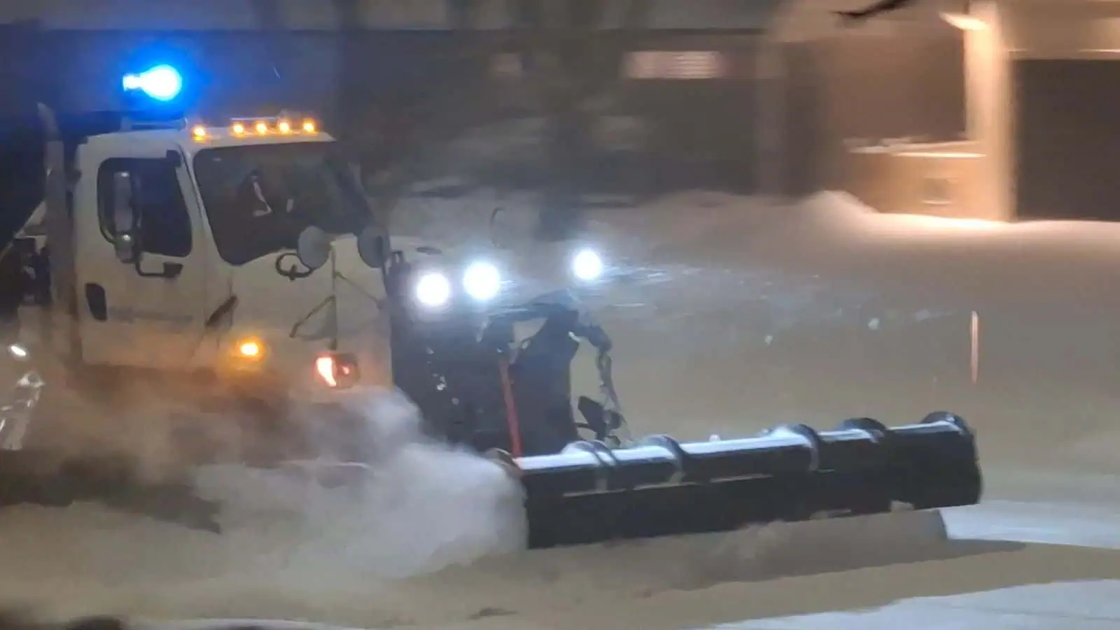
A snow plow is seen in Mississauga on Feb. 12, 2025. (Ryan Rocca / INsauga)
UPDATE: Up to 40 cm of snow now forecast for part of Ontario
Ontario has been no stranger to snow this week and that trend will continue into the weekend.
A mid-week Alberta clipper brought widespread snowfall to much of southern Ontario. Some areas also got hit with snow squalls (and are continuing to get hit Friday).
And now, Environment Canada says more squalls are in the forecast.
The weather agency said areas east of Georgian Bay and the Bruce Peninsula (labelled location B on the map below) could see difficult travel conditions, reduced visibility, and even road closures on Saturday.
“Snow squalls extending northeast from Georgian Bay will shift south in the afternoon and extend east from the bay,” Environment Canada said.
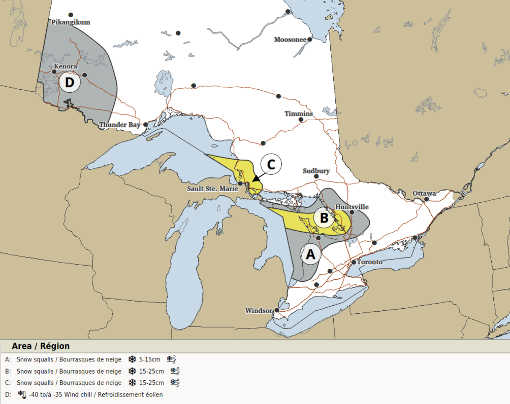
Saturday’s significant weather outlook. (Environment Canada)
Total amounts of 15 to 25 cm are possible there.
“Local blowing snow is also possible with westerly winds gusting up to 60 km/h,” Environment Canada said.
The Sault Ste. Marie area could see up to 25 cm as well.
Lake-effect snow may also hit some other areas east and southeast of Lake Huron and Georgian Bay (location A on the map).
“Lake effect snow squalls will develop in the morning and continue into Sunday for some areas,” Environment Canada said.
“Snowfall amounts up to 15 cm are possible.”
An additional 15 cm may accumulate on Sunday there, though confidence for that is currently low.
Last 30 Days: 59,456 Votes
All Time: 1,079,944 Votes
1774 VOTES
Are you happy that the Liberals are getting closer to a majority government?
INsauga’s Editorial Standards and Policies
WIN $100 WORTH OF GROCERIES
Subscribe to INsauga’s daily newsletter for a chance to win a $100 PC gift card
“*” indicates required fields