
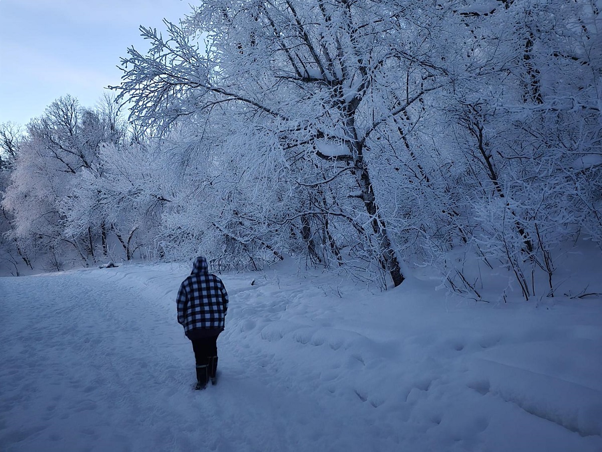
Updated Wednesday, December 17th at 5:33am – Southern Manitoba are in line for a good old-fashioned pre-Christmas snowstorm. Environment Canada has issued a Blizzard Warning for essentially all of Southern Manitoba ahead of the arrival of a strong Alberta clipper set to impact the region Wednesday and Thursday. Meanwhile, a Freezing Rain Warning is also in effect for much of the region, with the potential of several hours of freezing rain developing this morning and lasting into the afternoon before transitioning to snowfall later today.
“It’s yet another Alberta clipper that’s put us in the bullseye, and this one will be quite impactful and significant for a wide swath of the Prairies, including the entire southern half of the province,” explained CMOS Accredited Weathercaster Chris Sumner. “This system’s moisture and energy originated off the Pacific, and it’s set to bring a wintry wallop Wednesday and Thursday.”
According to Environment Canada, 10 to 20cm of snow is anticipated in most areas, with potentially higher amounts in some of the hardest hit areas.
Get your Petro Canada Winkler forecast, here
“For regions south of the Trans Canada Highway, and near the international border in the southern Pembina and Red River Valley, 10 to 15cm is looking like a good baseline to start for total accumulation during this event,” he added. “But those regions are also projected to be right along the edge of the heaviest band of snowfall within this system. As the low moves across the area, any change in its track, especially if it slides southward at all, would bring those border areas into higher potential snowfall probability. On the other hand, if the system ends up edging further northward on its track, lesser amounts would be possible.”
Sumner stressed, this Alberta clipper’s track will play a significant role in which parts of the province are hit hardest, and any deviation from what’s projected could result in considerable changes to snowfall accumulation. The snow is expected to start west to east, and most likely in the range of mid to late afternoon in the Pembina and Red River Valleys.
“Prior to that thought, with our area being within the warm sector of this system, a period of freezing rain is likely beginning some time Wednesday morning until enough cold air is pulled into the clipper to change that precipitation fully over to snowfall,” he added.
Find your Sun Valley Tire report and cancellations, here
“The other part of this story is the expectation we will be facing near-blizzard or blizzard conditions late Wednesday night into Thursday morning and potentially into Thursday afternoon,” he said. “The pressure gradient (the difference in pressure between two different weather systems) on the backside of this low will be very tight as surface high pressure and cold Arctic air nip at its heels as it treks across the province. This will lead to the very strong wind gusts during the timeframe I mentioned.”
Environment Canada is forecasting northerly to northeasterly gusts up to 80km/h late Wednesday night, potentially lasting through Thursday morning with only a slight backing off by Thursday afternoon.
“These winds will coincide with falling and freshly fallen snow, so it will be the perfect recipe for creating substantial blowing snow and whiteout or near zero visibility for an extended period of time lasting hours once it begins,” he said. “These winds will also usher in a chilly airmass that will plunge temperatures Thursday into the -21 to -23 range, about twenty degrees colder than Wednesday’s expected daytime high.”
Conditions are expected to improve Thursday evening, just in time for a third Alberta clipper this week to bring possible impacts to the region Friday, with another round of accumulating snowfall. According to Sumner, that system will not be as strong, nor will it have as much snowfall potential. He added a less active pattern is showing up for the weekend, with high pressure over the region keeping things sunny and slightly cooler than average.
“The bottom line is once the impacts from this strong Alberta clipper kick in Wednesday, we can expect those to last in some form or another through Thursday evening, he said. “This means we will see significant travel impacts from substantial winter weather. I expect this to be about as a traditional a winter storm as we can get in Southern Manitoba, so let’s be prepared and keep an eye on the forecast and road report.”