
Updated: December 19, 2025 at 9:18AM EST
Published: December 19, 2025 at 6:25AM EST
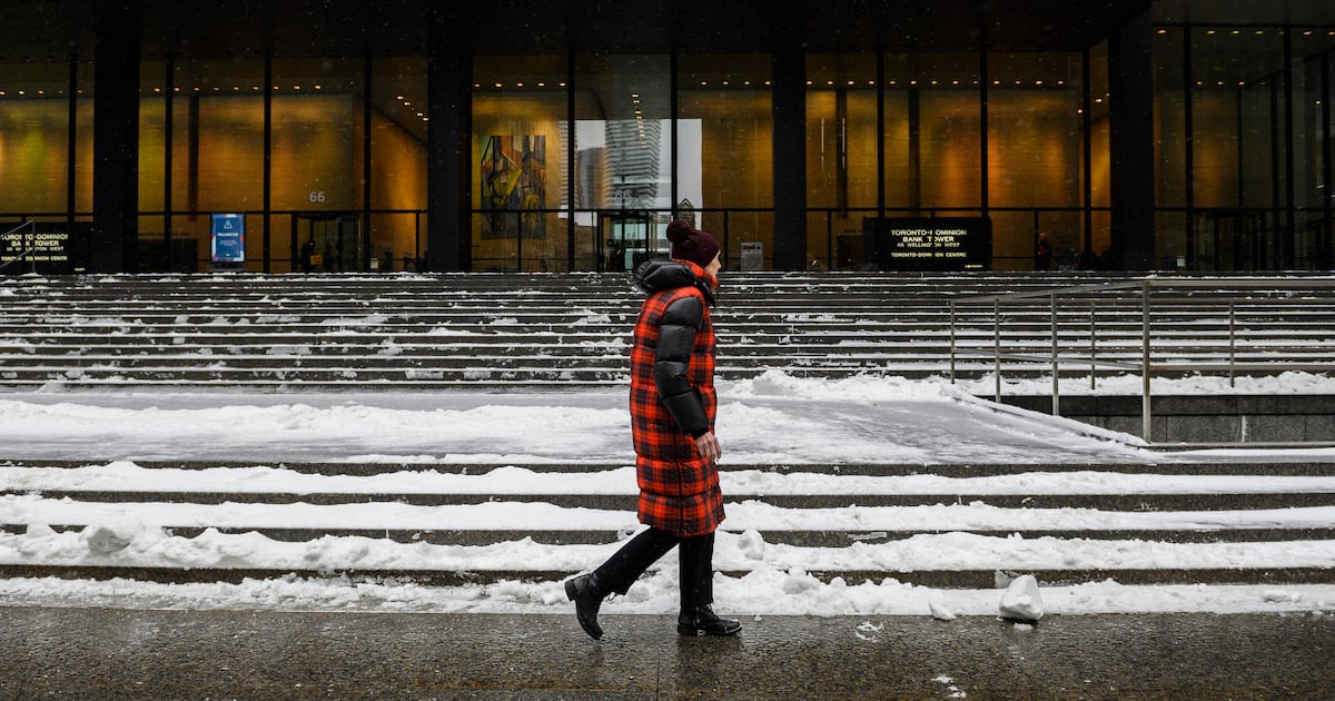
Toronto is under a special weather statement Friday with Environment Canada warning of “rapidly falling temperatures” that will result in slippery surfaces.
Rain is expected to change to flurries this morning and Toronto will likely see about two centimetres of accumulation on Friday.
The national weather agency warns that strong winds will develop this morning and continue into tonight.
“A strong cold front will move through the area this morning,” the advisory warned.
“Winds will strengthen and temperatures will rapidly fall below the freezing mark in behind the front. Travel may become difficult at times. Local utility outages are possible,” the special weather statement read.
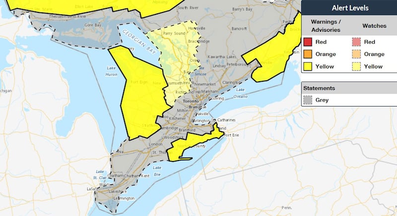 Weather advisories in Southern Ontario Map highlights issued weather advisories and warnings as of Friday morning in southern Ontario. (Environment Canada).
Toronto will see the temperature fall to -2 C this morning but it will feel closer to -10 with the wind chill.
“A large low-pressure system plowed into the Great Lakes region overnight, bringing rain and very mild temperatures to southern and central Ontario. Now that it is working away to the east, cold winds are firing up in its wake,” CP24 Meteorologist Bill Coulter said Friday.
“Cooler air is transitioning the system’s precipitation to wet snow this morning. And you can expect flurries accompanied by very windy conditions this afternoon. Watch for snow squalls developing in the traditional snow belts as well.”