
Winter Storm Warnings remain in effect for the Cascades through late Saturday night into early Sunday, with additional snow expected overnight.
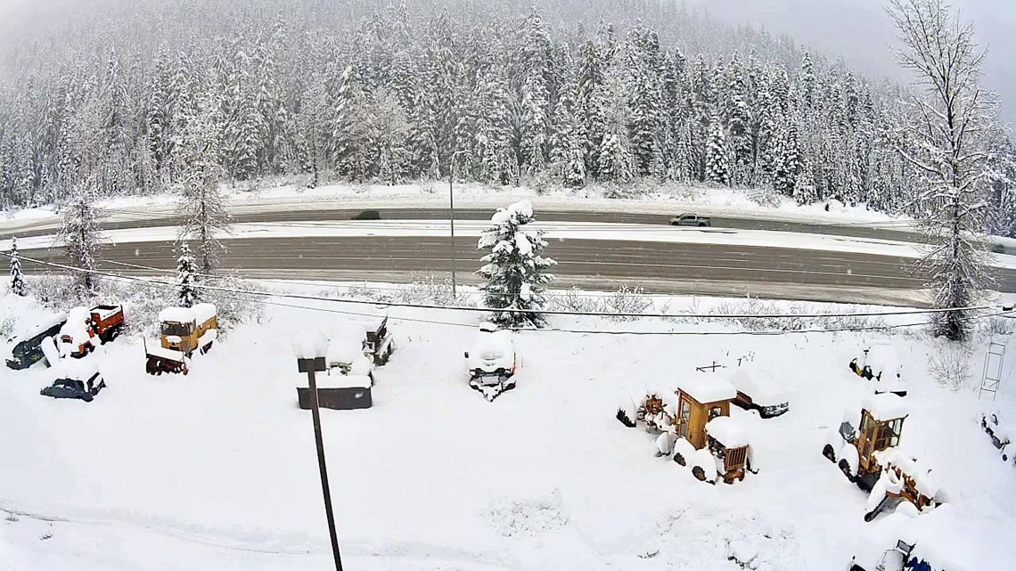
SNOQUALMIE PASS, Wash. — Heavy mountain snow has returned to the Cascades as colder air finally settles across western Washington, delivering much-needed snowfall for ski areas and creating periods of difficult travel at the passes through early next week.
After several storms brought ample moisture but limited cold air, snow levels dropped over the past 24 to 48 hours, allowing snow to accumulate efficiently in the mountains. Winter Storm Warnings remain in effect for the Cascades through late Saturday night into early Sunday, with additional snow expected overnight.
Snow totals over the past two days have already been impressive in some locations. Stevens Pass has picked up more than 18 inches so far, while Snoqualmie Pass has reported around 10 inches. Crystal Mountain has received about 5 inches, with lighter totals farther south near White Pass, where the bulk of the moisture has remained north.
Snow will continue to fall in waves through the weekend as a cool, westerly flow off the Pacific sends weak disturbances across the region. Snow levels will generally remain between 2,000 and 3,000 feet, well below pass level, supporting additional accumulation. Another 8 to 12 inches of snow is possible through Sunday morning, with snowfall rates increasing again Sunday afternoon and Sunday night.
Travel conditions are expected to worsen Sunday evening and overnight as snow intensifies across the passes. Drivers planning mountain travel are encouraged to avoid Sunday night if possible, as heavier snow may coincide with reduced visibility and slick roads. Snowfall rates should ease late Sunday night into early Monday, though periods of snow will continue.
More unsettled weather follows Monday as another weak system rotates through the region. Rain will fall at times in the lowlands, while additional mountain snow accumulates. By early Tuesday, total snowfall from this multi-day stretch could reach around 1 foot at Snoqualmie and Stevens passes, while the Mount Baker area and Paradise could see 2 to 3 feet of snow. Lighter amounts are expected east of the crest, including near Mission Ridge.
Looking ahead to Christmas week, snow levels are forecast to hover near 2,000 to 3,000 feet before briefly rising closer to 3,500 feet around Christmas Eve.
A system arriving midweek could bring steadier rain to the lowlands, although conflicting models suggest a warmer weather pattern along with only a few showers.
Ultimately, no major storms are expected going into the Christmas holiday and the remainder of next week.
While rainfall will continue at times in western Washington, precipitation totals will be spread out over several days, limiting the risk of renewed widespread flooding. Rivers will remain elevated due to saturated soils, but the colder pattern is helping lock much of the incoming moisture into the mountains as snow.
That colder, more winterlike setup is expected to gradually ease late next week, with fewer showers and a possible drier break heading into the final weekend of the year.
KING 5 Meteorologists Rich Marriott and Adam Claibon contributed the information for this report.