
Very little chance of a White Christmas – but more wintry weather is on the way
14:25, 21 Dec 2025Updated 14:27, 21 Dec 2025
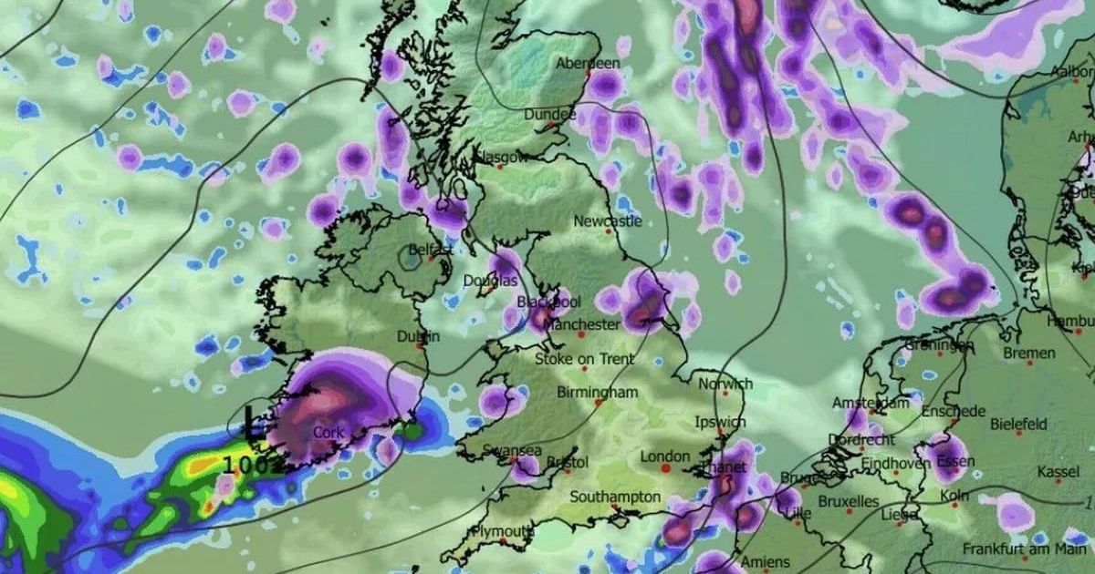
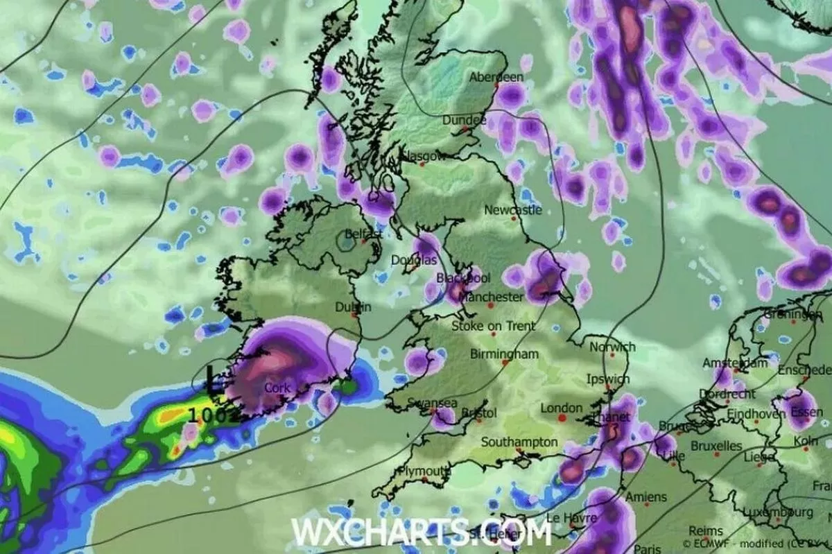 Snow over Munster by this forecast for New Year’s Day(Image: WXCHARTS)
We could have snow and ice in parts of Munster to see out the year, with temps set to plunge once we are past Christmas and some weather models showing wintry showers across Munster by New Year’s Eve.
By Monday, December 29th, we could see temperatures plunge below zero, as low as -4 °C in some exposed areas overnight, and remain very low during the day. Met Éireann has today shared a list of hazardous weather conditions expected to strike Ireland between Christmas Day and New Year’s Eve.
The ECMWF (European Centre for Medium-Range Weather Forecasts) is currently showing snowfall for the southern half of Ireland for the first weekend of 2026.
“Potential hazards look limited to frost, ice and fog; however, a few wintry showers can’t be ruled out at this stage. These would most likely occur near eastern and northern coasts,” says Met Eireann of Monday December 29 to Sunday January 4.
Echoing Met Eireann’s chilly forecast is Donegal Weather Channel who say conditions will turn “much colder” across Ireland between Christmas and the New Year.
“Forecasting models continue to show things becoming much colder early next week especially come Christmas Eve, Christmas Day and St. Stephen’s Day,” wrote Donegal Weather Channel on social media.
The good news is it will be very and cold with some nice winter sunshine bit also freezing conditions expected at night and frost lingering in places during the Christmas period during the day hours as some areas could struggle to raise above freezing.
“Temperatures on Christmas Eve and Christmas morning could fall as low as -3 or -4C in places and even colder on Christmas night into Stephen’s Day with temperatures as low as -5C possible. There will also be the additional risk of fog and freezing fog on places making driving conditions hazardous. So some low temperature and fog warnings could be issued over next week.
“As we move towards the weekend and into the New Year there is a increasing signals for even colder conditions with the potential for some wintry falls of snow between the 27th and the New Year.
“Some ensembles forecasts increase the precipitation amount for the period and risk of colder conditions developing with a potential high pressure block to the west of Ireland extending into Greenland cutting off the Atlantic and normal westerly unsettled conditions like we babe see over the past few weeks.”