
Pedestrians stood in the rain in San Francisco on Saturday.
Benjamin Fanjoy/For the S.F. Chronicle
The Bay Area is heading into a prolonged stretch of hazardous weather, with rain set to fall on already saturated ground and a more dangerous wind-driven storm arriving late Tuesday night. This will be a two-round system, with the highest risk coming overnight Tuesday into Wednesday, followed by another strong push on Christmas Day.
Here is the timeline for the Bay Area.
Article continues below this ad
Monday into early Tuesday: Wet — but not yet dangerous
Rain will remain intermittent from Monday into Tuesday afternoon as the atmospheric river wobbles across the region. Rainfall during this window will favor the North Bay and coastal ranges, while much of the urban Bay Area will see scattered showers rather than steady rain.
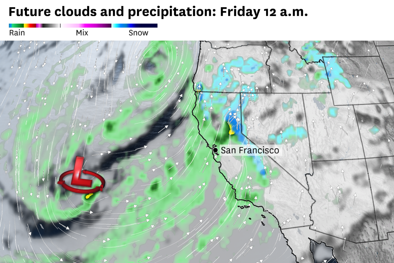
A flood watch is in effect for the North Bay through Friday. The region already has seen several inches of rain over the weekend and additional rain on already saturated ground could cause minor flooding along some roads and waterways.
San Francisco Chronicle Logo
Make us a Preferred Source to get more of our news when you search.
Add Preferred Source
Farther south, periods of moderate to heavy rain in the Santa Cruz Mountains could produce 2 to 4 inches of precipitation by Monday evening, with 1 to 3 inches likely along the southern Marin coast.
Article continues below this ad
Tuesday night into early Wednesday: First round of peak impacts
The first truly high-impact period arrives late Tuesday night, as a rapidly intensifying, low-pressure system drives a cold front through the Bay Area.
For much of the region, the worst conditions are expected between roughly 7 p.m. Tuesday and 7 a.m. Wednesday. During that window, bands of moderate to heavy rain will move through while winds increase sharply, especially near the coast. The atmosphere will be unstable enough to support isolated thunderstorms, which could briefly enhance rainfall rates and produce locally damaging wind gusts.
Wind will be the primary concern during this phase, and the National Weather Service has issued a high wind watch from Tuesday through Wednesday. Along the coast, particularly from Big Sur north through Point Reyes, southerly gusts could reach 70 to 80 mph, strong enough to bring down trees and power lines and create hazardous conditions near beaches and headlands. Farther inland, gusts of 40 to 50 mph are likely, with higher speeds possible in elevated or wind-prone locations. Power outages and tree damage will become increasingly likely as the night wears on.
Article continues below this ad
Strong and damaging winds will peak late on Tuesday night into early Wednesday morning.
Baron/Lynx
Rainfall during this period will be capable of producing localized flooding, especially in urban areas during heavier bursts.
By Wednesday afternoon, much of San Francisco, the East Bay and the Peninsula is expected to receive about half an inch to 1 inch of rain, while the South Bay valleys pick up roughly a quarter to half an inch. The Santa Cruz Mountains remain a focal point for heavier precipitation, with 1 to 3 inches possible, and the North Bay and coastal ranges are likely to end up with the highest totals overall.
After this front passes, the atmosphere will remain unstable, with scattered heavy showers and a few rumbles of thunder possible Wednesday afternoon and evening.
By Wednesday, a general 1 to 2 inches of rain will have fallen across the Bay Area, with more in the North Bay.
Baron/Lynx
Christmas Day into Friday: Round two of peak impacts
A new and deepening low-pressure system will send another strong cold front through the Bay Area on Christmas Day into Christmas night, extending the period of hazardous weather into early Friday.
Article continues below this ad
The exact forecast details are still uncertain for this timeframe. But by this point, soils will be saturated and trees already stressed by earlier winds, increasing the risk of additional tree failures and power outages.
A second low pressure system will push another cold front through the Bay Area late on Christmas Day.
Baron/Lynx
Periods of moderate to heavy rain will accompany the front, with the greatest impacts likely in the same areas hit hardest earlier in the week, including the North Bay, coastal ranges and the Santa Cruz Mountains. Even where rainfall totals are lower, runoff still may pose problems, raising the risk of renewed urban flooding and rapidly rising creeks.