
A High Wind Watch is in effect Wednesday morning through Wednesday evening.
SEATTLE — The Puget Sound region could see strong winds Dec. 24, though there is still some uncertainty on how significant the wind storm will be.
A High Wind Watch issued by the National Weather Service is in effect for the Puget Sound region, coast and southwest Washington Wednesday morning through Wednesday evening. The weather service says east to northwest winds of 10-20 mph and gusts of 30 mph will change to southerly afternoon wind speeds of up to 35 mph and gusts of up to 65 mph.
KING 5 has activated First Alert for this weather event, which could affect lives, property or travel in the Pacific Northwest region. During this event, the First Alert Weather Team will bring you the latest information to keep you and your family safe.
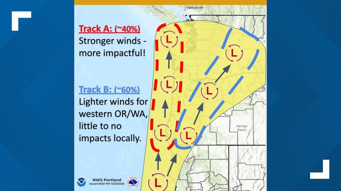
As of Tuesday morning, there is some disagreement by forecast models in just how strong winds will be, according to KING 5 Meteorologist Adam Claibon. Some models show a stronger low pressure system off the coast, which would lead to stronger winds overall. Other models show a weaker system inland that would produce less significant wind.
The difference between the models is whether we see gusts in excess of 60 mph or up to 40 mph.
The strongest winds are expected to occur between late Wednesday morning through sunset.

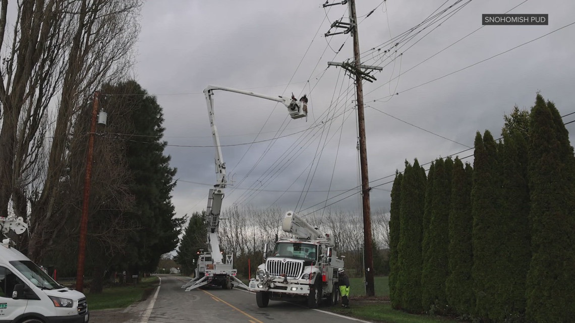
PSE says customers should be prepared
Puget Sound Energy is urging customers to prepare for potential power outages.
“This storm comes on the heels of over a week of severe weather, including heavy rain and flooding,” PSE said in a statement. “Heavily saturated ground increases the risk of trees falling over, which can cause damage to both underground and overhead power lines.”
The region is still recovering from widespread flooding that occurred earlier this month across western Washington.
According to the American Red Cross, the designated disaster area spanned more than 123,000 square miles. Gov. Bob Ferguson’s emergency declaration to includes at least 14 counties.