
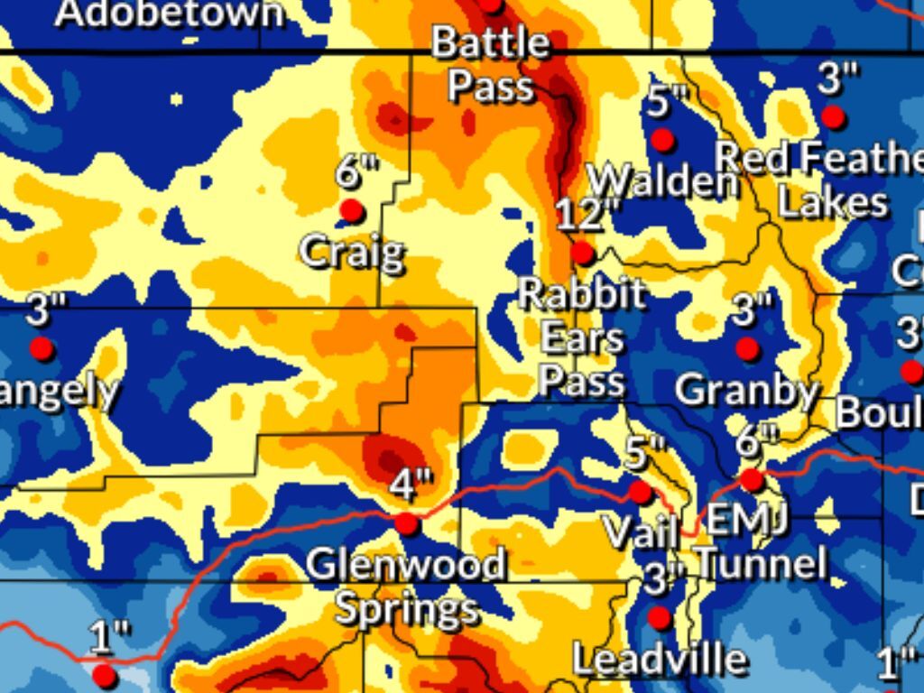
Two waves of snow that are set to hit the state between Christmas Day and Sunday morning could bring snow in the range of 18 to 30 inches to some parts of the state, according to the National Weather Service.
In the more likely scenario, most of Colorado’s mountain ranges get snow in the range of 12 to 18 inches through Sunday morning, with some areas expected to get even more than that, including the Park Range near Steamboat Springs and the peaks in the Aspen area.
In the less likely but more impactful high-end snowfall scenario (10% chance), deeper totals are much more widespread (mapping found below in article) and peak totals could reach higher – into that 24 to 30-inch range.
Both scenarios show a chance of snow through Sunday morning on the Front Range, including the Denver metro area. It shouldn’t be more than a few inches though.
According to OpenSnow, Steamboat and Wolf Creek Ski area each have a chance of about 13 inches of snow on their respective slopes over the next five days. Find their full report here.
See both forecasts depicted on the National Weather Service maps below:
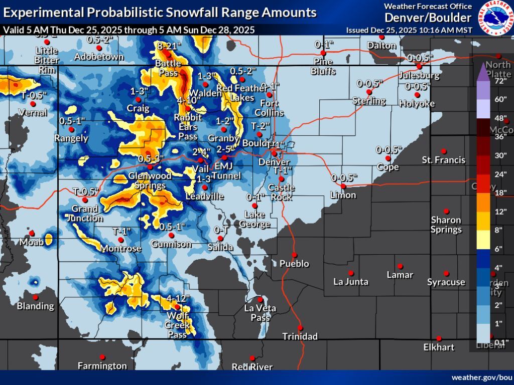 The more likely snowfall scenario through Sunday morning. Map: National Weather Service.
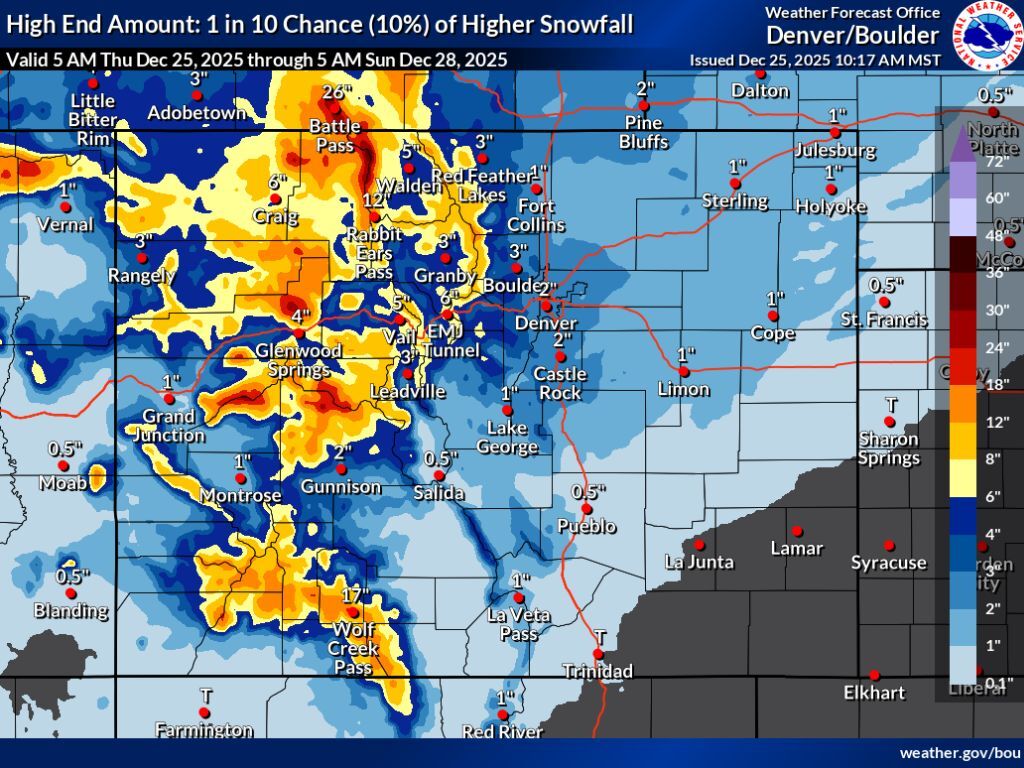 The less likely high-end scenario (10% chance). Map: National Weather Service.
As of the morning of December 25, Colorado’s snowpack sits at about 54 percent of the norm for the date.
STAY INFORMED: Get free Colorado news with our daily newsletter (Click here)