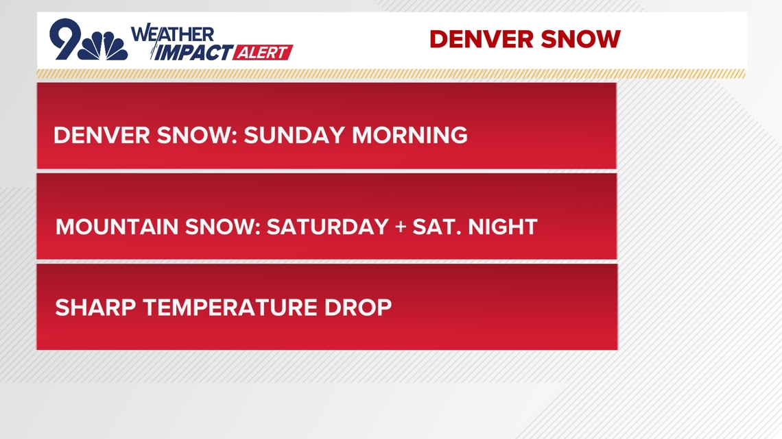
Snow will start Saturday in the high country and early Sunday morning in the Denver metro area.
COLORADO, USA — After a record-warm Christmas, it’s finally going to look a little more seasonal in Colorado this weekend.
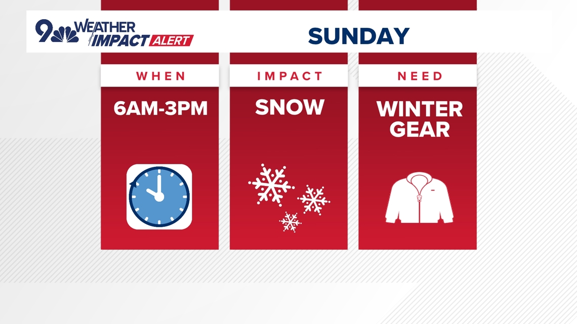
The 9NEWS Weather Impact Team has issued a Weather Impact Alert for Sunday morning for expected snow and slick conditions.
In the Denver metro area, we expect the snow to start around 4:30 a.m. Sunday morning. Preliminary snowfall totals are currently projected at 1-4 inches, with the potential for localized totals up to 6 inches across the metro area.
Roads will initially be above freezing, but an intense surge of cold air will quickly drop temperatures, leading to slick conditions by daybreak.
Snow should should start to taper off in the early afternoon.

In the mountains, the snow will start a little earlier. We’re expecting to see flakes in the high country starting Saturday morning. Travel conditions along the Interstate 70 corridor will likely become slick, especially Saturday night into Sunday morning.
The mountain passes could have slow-downs and visibility issues. Expect traffic to snarl if you’re up near Vail Pass, Rabbit Ears Pass, and most of the main stops.
Once we get past the weekend, it’s all sunshine… and some serious cold. Highs will barely break freezing early next week. Sticking snow on north-facing slopes will have trouble melting and black ice and therefore black ice will continue to be a concern.