
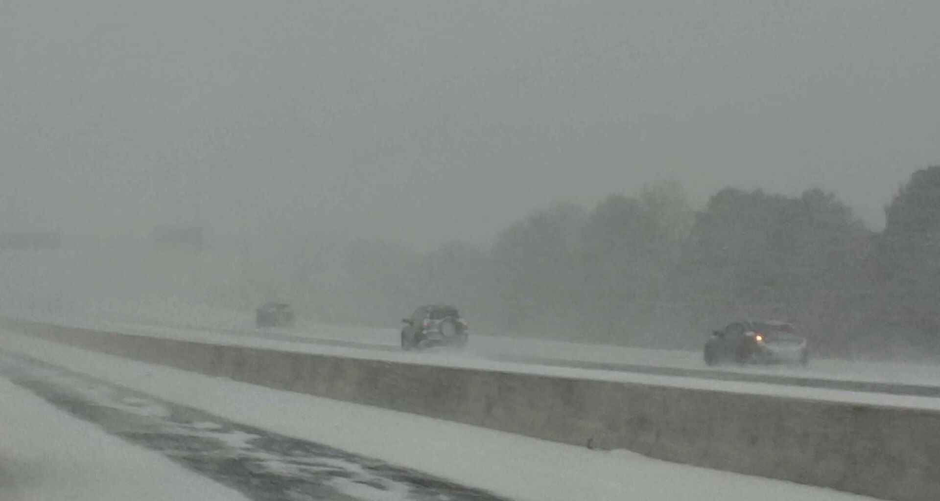
Heavy snow is seen in southern Ontario on Dec. 26, 2025. (Ryan Rocca / INsauga)
Parts of southern Ontario are expected to get hit hard by snow squalls.
Environment Canada has issued several snow squall warnings for areas east of Lake Huron.
Orange weather alerts have been issued, with 20 to 50 cm expected overall.
The highest snowfall amounts are expected for areas including Huron County, Saugeen Shores and Kincardine, where 25 to 50 cm is in the forecast.
READ MORE: Strong winds for Toronto and southern Ontario
“An initial brief, intense snow squall is expected this morning along a cold front. A quick 5 cm of snow is expected from this snow squall as well as a rapid temperature drop, leading to icy surfaces,” Environment Canada said.
“Lake effect snow squalls off Lake Huron will also develop this morning. Widespread blowing snow and blizzard conditions will be the primary concern as northwesterly wind gusts of 70 to 90 km/h are expected today.”

Areas shaded in orange are expected to see the worst of the snow squalls. (Environment Canada)
The Barrie area is expected to see 25 to 45 cm, and 20 to 40 cm is in the forecast for the London area.
Parts of the Greater Toronto Area are also under snow squall warnings or watches.
Yellow warnings have been issued for northern York and Durham regions, where 15 to 25 cm is possible.
Part of Halton Region, including Milton, is under a yellow watch with a “quick 5 cm of snow” possible.
The Kitchener area is also under a watch, where 10 to 20 cm is possible.
“Extremely hazardous” travel conditions are expected, Environment Canada warned, with road closures and utility outages possible in the hardest-hit areas.
The snow should ease by Tuesday afternoon.
Last 30 Days: 51,075 Votes
All Time: 1,104,399 Votes
1467 VOTES
Has Pierre Poilievre lost control of the federal Conservative Party?
INsauga’s Editorial Standards and Policies
WIN A $100 GIFT CARD
Subscribe to INsauga’s daily email newsletter for a chance to win a $100 Amazon gift card.