
![]()
Listen to this article
Estimated 2 minutes
The audio version of this article is generated by AI-based technology. Mispronunciations can occur. We are working with our partners to continually review and improve the results.
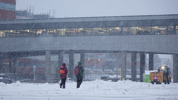
The first weekend of the new year is going out with a bang and will likely leave the Avalon Peninsula of Newfoundland and Labrador wrapped in a blanket of snow.
Environment Canada meteorologist Wanda Batten told CBC News, “a bit of weather” is on its way to the southeastern portion of the island.
However, Batten said the incoming low-pressure system is “nothing like we’ve seen this winter so far.”
The weather system’s track is difficult to predict, according to Batten, but 15 to 25 cm of snow is expected to accumulate across the Avalon Peninsula. She said that the amount will “drop drastically” as the system moves westward.
Winds will pick up as the weather continues, potentially gusting up to 70 km/h Sunday night into Monday morning, the Gander meteorologist said. Temperatures across the Avalon are expected to drop to about −2 C as the system approaches.
“It could get a little blustery and make the visibility reduced in some areas. So I’d advise anyone making any travel plans to keep an eye on the forecast because the uncertainty with this system is incredibly high,” said Batten.
Some delayed school and office openings could come Monday morning, as the forecast stands at publishing time, Batten added.
Download our free CBC News app to sign up for push alerts for CBC Newfoundland and Labrador. Sign up for our daily headlines newsletter here. Click here to visit our landing page.