
![]()
Listen to this article
Estimated 2 minutes
The audio version of this article is generated by AI-based technology. Mispronunciations can occur. We are working with our partners to continually review and improve the results.
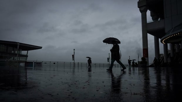
Environment Canada says a strong frontal system will bring up to 40 millimetres of rain to the province’s most populous city starting Monday night, while snowfall is forecast for the North Shore mountains.
The federal agency issued the special weather statement Monday morning for Vancouver, as well as Burnaby, New Westminster, Coquitlam and Maple Ridge.
It says light to moderate rain in those areas will begin late Monday night, with rain intensifying Tuesday morning.
“Totals are uncertain at this time but rainfall amounts near the North Shore mountains will likely range from 50 to 70 mm while central regions of Vancouver can expect 30 to 40 mm,” it said.
The special weather statement also said higher elevations, including the North Shore mountains, Burnaby Mountain and near the Upper Levels Highway, could see snow accumulation.
“Snowfall over the North Shore mountains is expected to be significant,” said the statement.
The special weather statement comes a day after the federal agency lifted a separate advisory warning that flooding was possible from stormy weather and high tides along part of the province’s South Coast.