
When Anthony Mondia entered the common area of the Conrad Kain Hut in B.C.’s Bugaboo Park on Aug. 17, the expressions on the guides’ faces made it clear something was wrong.
“They were in game mode,” said Mondia, an accountant and avid outdoor recreationalist who was staying at the hut to learn glacier skills with an Alpine Club of Canada course. He saw how the creek outside the cabin had tripled in size overnight, washing over a footbridge on the trail used to get to the hut.
Mondia had spent the rainy day before practising rope skills on Crescent Glacier with a guided group. The next day, the lake that sat against the same glacier was flooding as water cut through the ice.
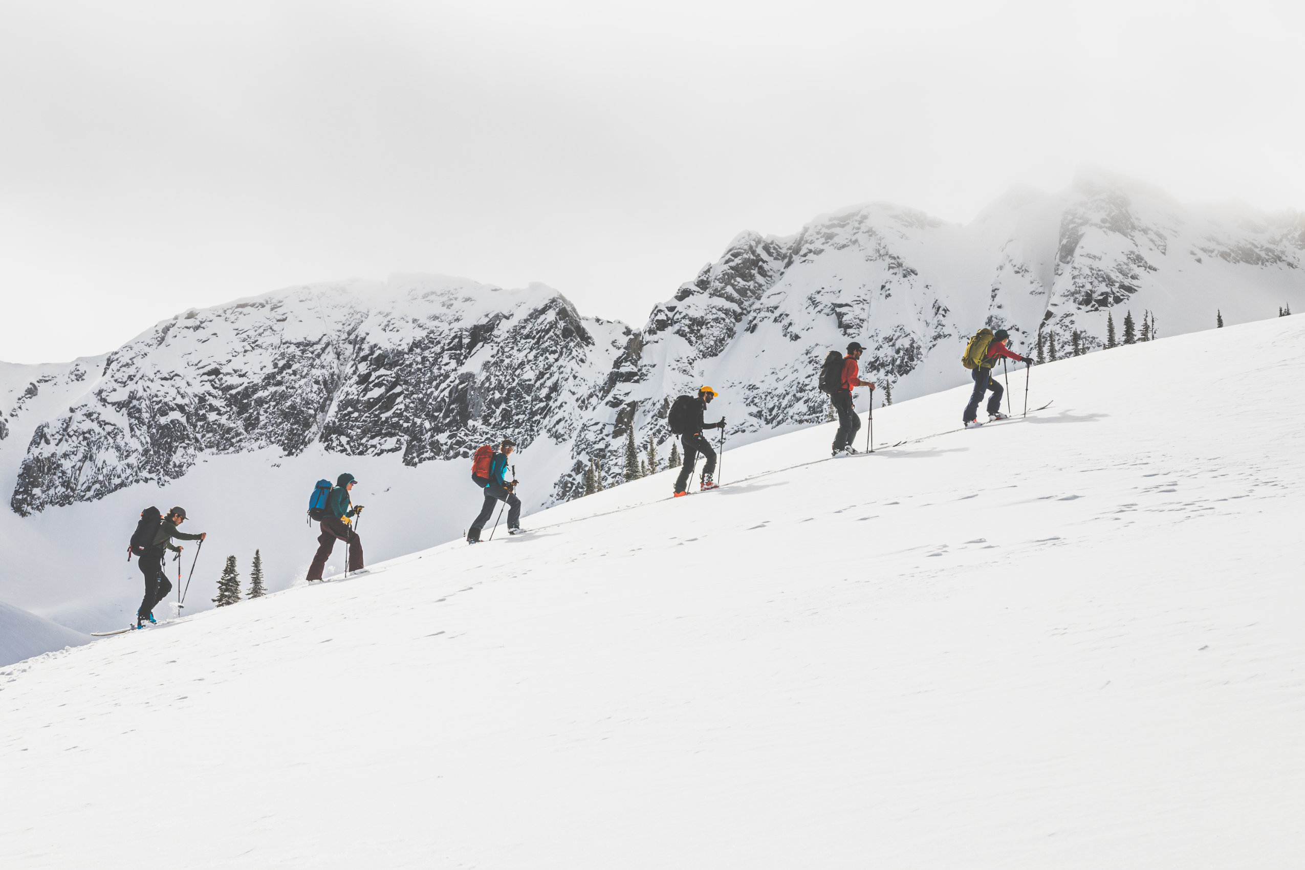
August is the height of the climbing season in the Bugaboos, a glaciated alpine paradise that draws people from around the world to its granite spires. With the hut and campground busy, responders made the choice to evacuate more than 60 people from the park via helicopter.
 More than 60 people were evacuated from B.C.’s Bugaboo Park in August 2025 due to flooding caused by a melting glacier. Photo: Supplied by Jordy Shepherd
About ten search and rescue volunteers with additional support from RCMP and BC Parks worked together to execute the emergency evacuation. The full-day operation lasted a little over eight hours.
When Jordy Shepherd first surveyed the scene from above, the mountain guide and member of Columbia Valley Search and Rescue struggled to understand what he was seeing.
“You just don’t normally see a lake start to drain out the other direction,” he said.
Water which typically fed a series of smaller glacial lakes, providing a water source for the campgrounds and funnelling into the creek by the hut, looked like it was pounding from the centre of the lake.
Shepherd wasn’t the only one surprised by how the flooding occurred.
Brian Menounos, a research professor at the University of Northern British Columbia, said melt is happening at much higher elevation than was previously seen, with “bonkers” results.
When glaciers recede, most people imagine the toe, the lowermost part of the glacier, pulling back, he explained.
“This didn’t happen that way,” said Menounos, who is also an affiliate of the Hakai Institute, a B.C.-based coastal research organization.
With widespread disappearance of seasonal snow at higher elevations, warming temperatures and ice surface darkening from wildfires, melt is happening much higher than before — and faster than ever.
In the Bugaboos in August, the glacial lake was dammed by already-thinning ice. Heavy rain combined with typical ice and snow melt to raise the water level, spilling over the edge and also cutting up to 15 metres wide and 10 metres deep into the ice barrier, sending what Menounos estimates was 750,000 cubic metres of water — the equivalent of 300 Olympic-sized swimming pools — through the park over a month.
As Menounos put it, that was “unusual.”
 Glacial melt is occurring at higher altitudes and at quicker paces as a result of climate change. In the case of the Bugaboo Park incident, glacial melt contributed to rising water levels in this alpine lake, which spilled over its usual banks, flooding an area below. Photo: Supplied Jordy Shepherd
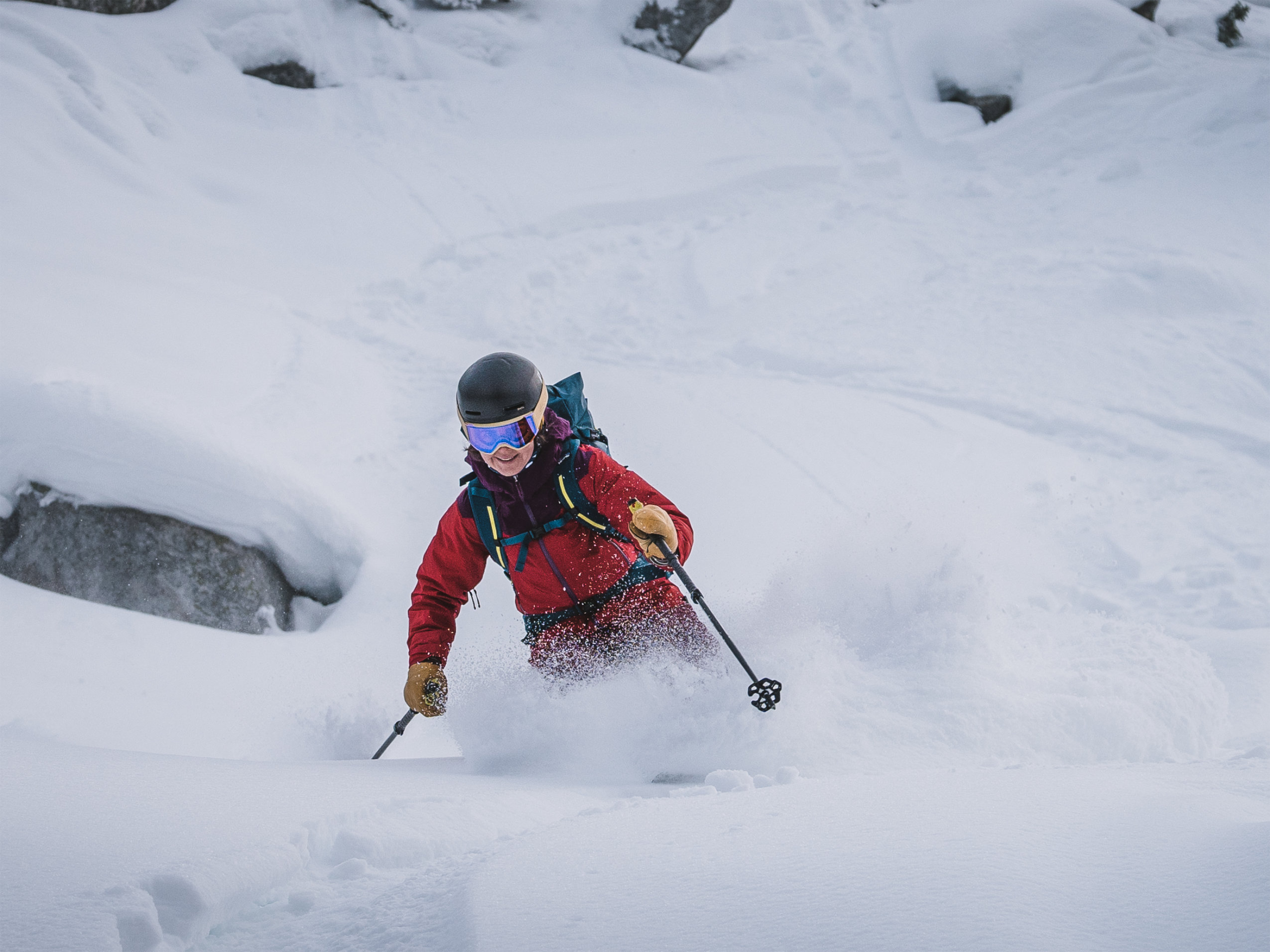
Recent research shows guides in the Canadian Rockies are feeling the effects of climate change. All eight guides The Narwhal spoke to for this story echoed a similar sentiment: a rapidly changing environment means rules of thumb no longer apply in the mountains.
Scientists say climate change in the mountains means disappearing glaciers, extreme weather or even the possibility that entire mountain ecosystems will disappear as temperatures rise. That leads to impacts felt by the people who are often responsible for your safety in the mountains: hired alpine, rock and ski guides or rescue teams.
The risks are clear. In May 2019, two catastrophic landslides occurred on Mount Joffre in B.C.’s popular Joffre Lakes Park, in part due to glacier retreat and melting permafrost.
In 2012 in Jasper, Alta., Mount Edith Cavell’s Ghost Glacier collapsed overnight, causing a flood and debris that reached the parking lot and day use area. No one was there, but Mount Edith Cavell is a high-visitor-use area in Jasper National Park. Had people been there, fatalities could have occurred.
As climate change worsens, the risks of such incidents will only increase, with consequences not just for guides, but Canadians at large.
Beyond natural disasters, hazards from glacial melt have the potential to impact water security and aquatic ecosystems, damage infrastructure or cause bodily harm.
B.C. has about 17,000 glaciers, what’s being done to stop them from melting?
Canada is warming two times faster than the global average and three times faster in the North, Samantha Bayard, spokesperson for Environment and Climate Change Canada said over email.
In addition to environmental, economic and household impacts, climate change directly impacts affordability and threatens lives, health and well-being, especially for northern communities and vulnerable populations.
When asked how the federal government plans to mitigate the effects of climate change on glaciers and the potential hazards, Bayard said Canada “recognizes reducing emissions is critical in the fight against climate change” and can help reduce impacts across the country.
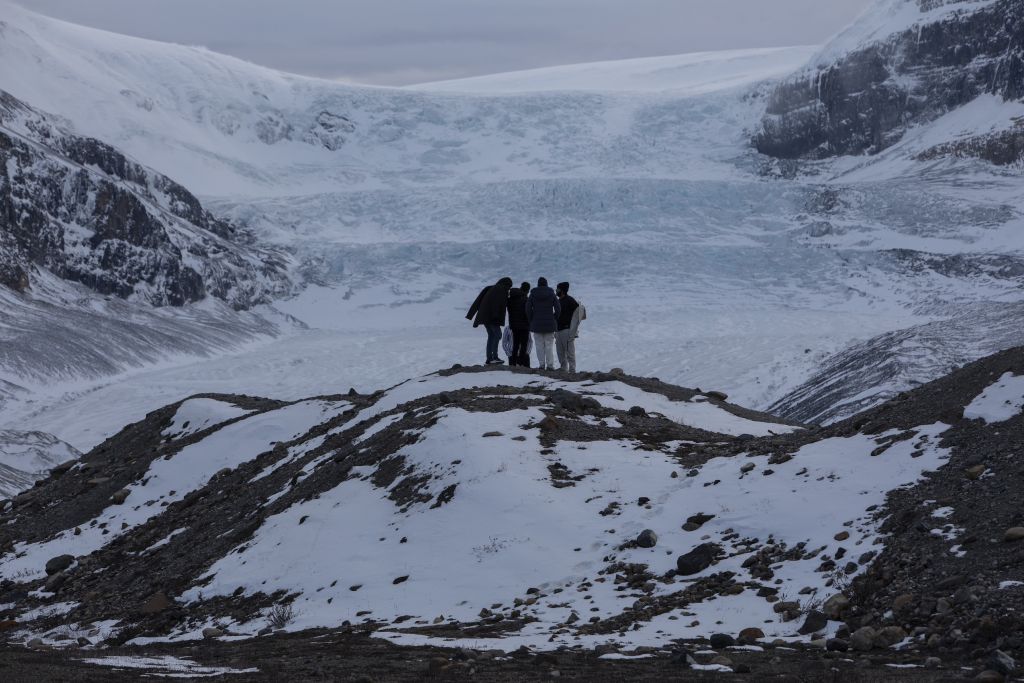
 Athabasca Glacier in Jasper National Park is a popular tourist destination. As the glacier melts, more and more rock is exposed. Photo: Amber Bracken / The Narwhal
Marie Martin, senior communications advisor for Natural Resources Canada, said over email that glacier mass balance is monitored at reference glaciers in Western Canada and in the Arctic.
The government takes the threat and all hazards posed by climate and weather events to communities, infrastructure, industry and health very seriously, she said. Emergencies are first managed locally, then provincially or territorially.
“If these jurisdictions need help, they can ask the federal government for more resources,” Martin said, adding the government has programs to inform Canadians and support provincial and territorial efforts, and that families can reference Canada’s emergency preparedness webpage.
B.C. has roughly 17,000 glaciers, or 23,884 square kilometres, and lost 22 per cent of glacier surface area between 1985 and 2021, B.C.’s Ministry of Water, Land and Resource Stewardship said in an emailed statement.
Three glaciers in the province are currently monitored by GeoBC, Natural Resources Canada and the Hakai Institute. Pending capacity and resources, research is expected to continue.
Alberta’s Ministry of Environment and Protected Areas did not respond to requests for comment on climate planning, the accelerated rate of glacier melt in Western Canada or potential hazards and impacts.
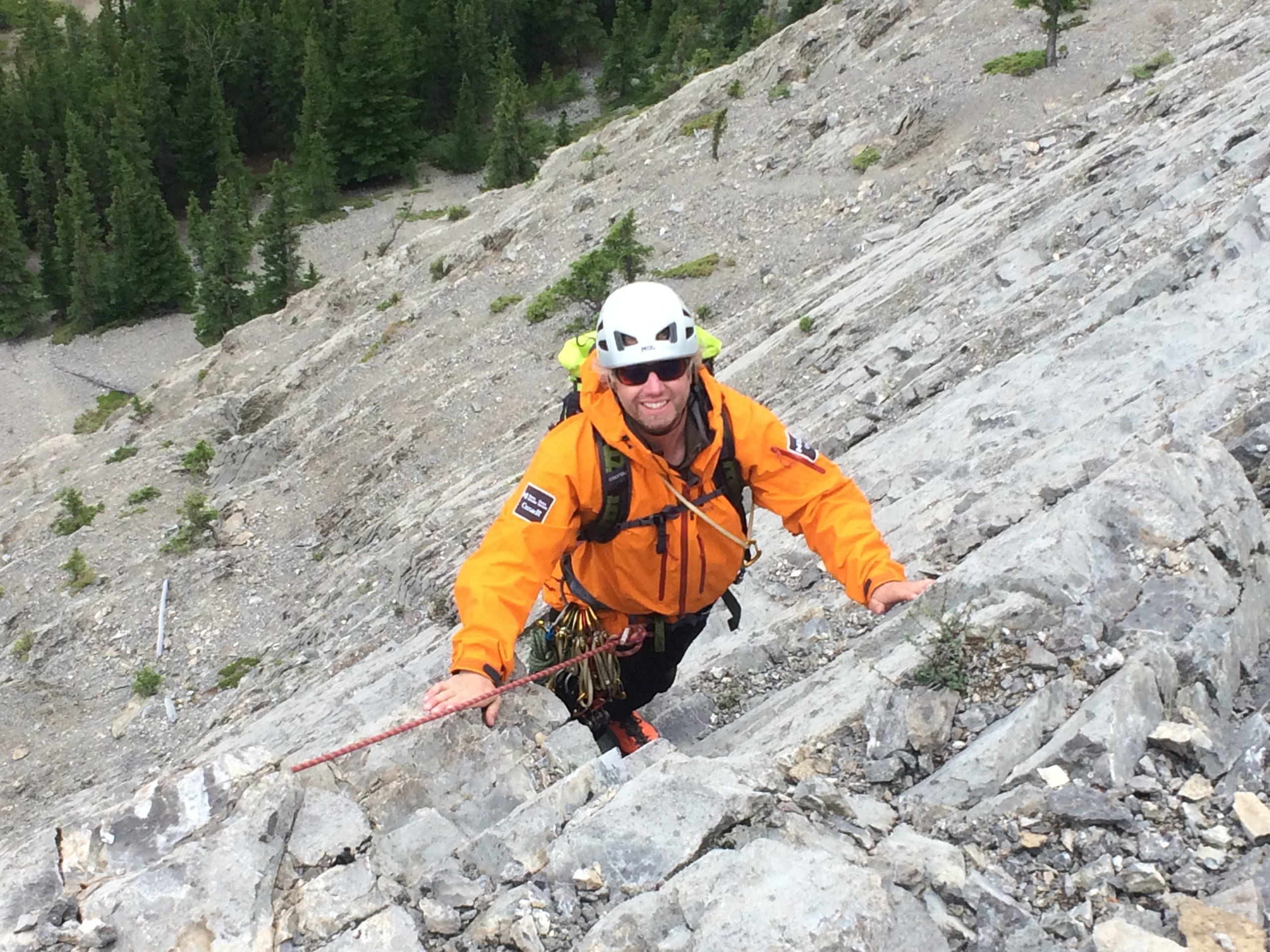
“It’s a new reality for us out there,” said Mike Adolph, an International Federation of Mountain Guide Associations certified mountain guide and technical director for the Association of Canadian Mountain Guides (ACMG), the organization that trains and certifies alpine, ski, rock-climbing and hiking guides and upholds professional guiding standards.
‘We can’t even go there’: mountain adventures are increasingly elusive
Jasmin Caton was deep into her preparations for the ACMG apprentice alpine guide exam, a multi-day undertaking that tests skills including climbing movement, glacier travel, waterfall ice climbing and more, when she heard the location — the Bugaboos — had to change due to flooding.
With six days to go, new areas were ironed out: Rogers Pass in B.C., and the Columbia Icefield and Bow Valley region in Alberta.
Conditions were challenging on the icefield, with unstable slopes of loose rock from glacier recession and complex route-finding on bare glaciers. But on the last day something unexpected happened.
“I popped into a crevasse up to my armpits,” Caton said. Falling into the crack feature in the glacier wasn’t surprising. It was that she had been walking in the footsteps of another exam group from the day before when it happened, creating a false sense of security.
“Things that used to be simple are just often not that simple anymore,” she said.
Glacial retreat is making alpine exploration a trickier endeavour for guides such as Jasmin Caton. “Things that used to be simple are just often not that simple anymore,” she said. Photos: Jean-Nicolas Dauwe and Julien Bouchard.
Shifting timeframes is one way to manage safety, and can be an “interesting balancing act,” said Adolph, who, coincidentally, was one of Caton’s examiners.
At the end of the 2025 season, because typical alpine climbing routes were no longer in season by late summer, the Association of Canadian Mountain Guides decided to split its alpine guide exam into two summer modules going forward, to test aspiring guides on snow and ice when the routes are still in shape, but before rockfall hazards become too great.
Rockfall has always been the main concern in mountaineering, he explained. When most people look up they see a beautiful mountain: a guide looks up and sees looming overhead rockfall potential.
These risks are exacerbated by terrain changes, permafrost thawing and temperature fluctuations; shrinking seasons, bigger crevasses in unexpected locations and low snow cover to fill those gaps are just some of the increased hazards facing the outdoor community.
 When glaciers melt, the landscapes they support can collapse, destabilizing deposits of boulders, clay and sand. Guides are adapting to shifting conditions, in which once trusted routes are no longer the safest. Photo: Jean-Nicolas Dauwe
And as glaciers melt, moraines — ridges of debris which includes rocks, boulders, clay and sand — can start to shift or collapse without the ice holding them in place.
When Adolph started instructing 15 years ago, the north glacier of Mount Athabasca in Jasper, Alta., seemed to be ten times the size, he said, and a regular spot for the guide association’s summer programs. Watching the area change has been a red flag.
Adolph has seen the glaciated terrain change from snow, to bare ice to rock and then more rock. It’s now at a stage where there’s concern the glacier will snap off.
“Now it’s to the point where we can’t even go there,” he said.
Almost every guide The Narwhal spoke to has a story about Mount Athabasca. Famous for its easy glacier access from the road on the Icefields Parkway, the mountain is home to many well-known alpine climbing and ski routes.

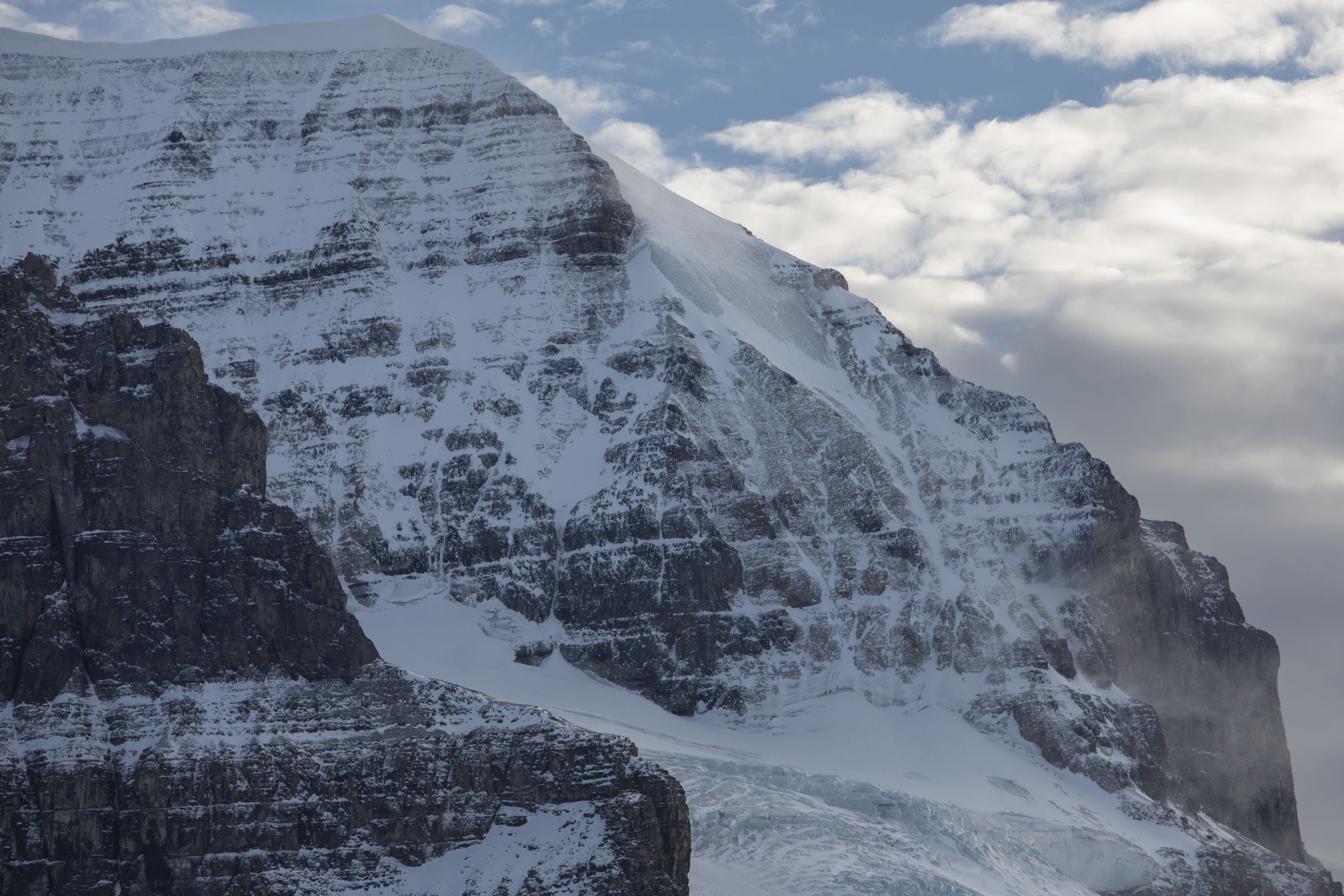 Several routes on Mount Athabasca, including the one pictured above, have become more hazardous in recent years. Alpine guide Ian Welsted warns against people becoming complacent and trusting routes that used to be safe in the past. Photos: Amber Bracken / The Narwhal
Alpine guide Ian Welsted has watched climbers traverse glaciated terrain on Mount Athabasca’s popular “ramp route,” even though the glacier has melted so much that the route is steeper, more hazardous and no longer the safest option.
The choice might be due to a lack of experience or simply relying on “inherited information” of how things were always done, he said. But terrain choices shouldn’t be taken for granted.
“Complacency kills,” Welsted said. “Some of the closest incidents I’ve had have been when I thought I knew the route.”
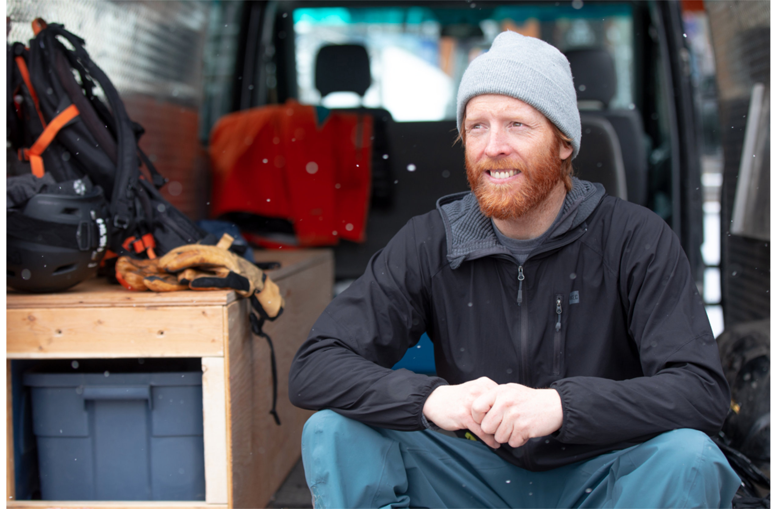
Working as a rock guide since 2005 and ski guide since 2010 before becoming an apprentice alpine guide this year, Caton feels the difference of varying experience levels in her guiding practice.
Maturity can bring the benefit of knowing when to step away, she said. But it can also create a bias from having done things one way for a long time, “and it always working out fine.”
The Narwhal asked Parks Canada, Kananaskis Public Safety and BC Search and Rescue Association whether climate change led to an increase in mountain incidents.
The first two organizations did not respond. In an emailed statement, Kyle Van Delft, BC Search and Rescue Association’s data administrator, said it does not keep specific incident data related to climate change hazards, adding anecdotal evidence and references exist, but are not a reliable data point.
‘Let’s understand what all of our risks are’: grassroots efforts fill information gaps
When Kevin Hjertaas heard a scientific researcher had confirmed glacial melt was happening in unexpected ways, the ski guide’s eyes widened.
“It sure feels that way,” Hjertaas, who is based in Banff, Alta., said.
Hjertaas, who has been guiding for 12 years and skiing in the Rockies his whole life, said the terrain has changed dramatically, and in unfamiliar ways.
Where parts of the glacier have sagged or collapsed, “you end up with a circle of crevasses going in really different directions that are not what I’m used to looking for.”
 Ski guide Kevin Hjertaas has been skiing in the Rockies his whole life, and has noted dramatic changes in the terrain. Photo: Dan Evans
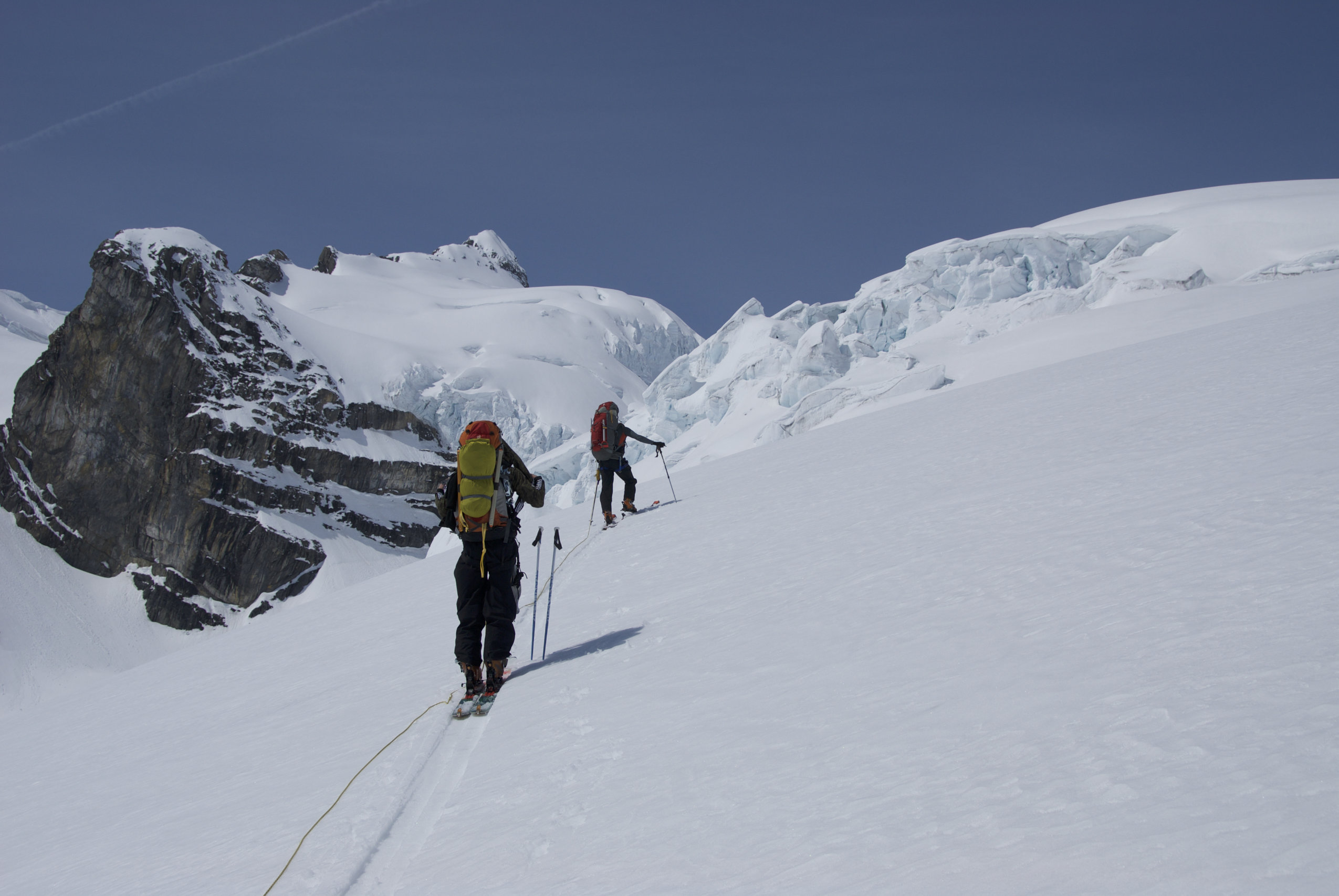 Skiers ascend the Mummery Glacier in the Rockies’ Columbia Icefields. Photo: Kevin Hjertaas
The increasing speed with which Hjertaas has observed the changes, which used to feel like historic events but are now year over year, has also kept pace with science. Glaciers in the Canadian Rockies melted twice as fast in the last four years versus in the past decade, according to Menounos’s research.
Hjertaas co-hosts monthly snowpack discussions at Canmore Brewing, where avalanche forecasters and safety specialists in B.C. and Alberta share ski and avalanche conditions. New hazards and crevasses have become a recurring theme.
The talks are an example of the kind of grassroots information-sharing that has evolved to serve the outdoor community.
While crevasses are common, they pose a serious risk to people who venture on the ice in all seasons. The rate of melting and low snow cover have made them increasingly difficult to navigate.
You have to understand the risks, then have a plan, explained Evan Stevens, an International Federation of Mountain Guide Associations–certified mountain guide based in Squamish, B.C., and assistant technical director for the Association of Canadian Mountain Guides.
“That’s the core of the issue — let’s understand what all of our risks are.”
And with winters getting “weirder” it’s easy to get caught off guard. “It doesn’t seem like too much status quo anymore,” he said.
Ahead of the ski season, Stevens shares aerial photos of snow-free glaciers in B.C.’s southwest coastal regions, where he does the majority of his guiding, on his blog.
The images are a tool to compare up-to-date information with maps, see how terrain has changed and plan ahead. Not only for crevasses, but to assess where glacier recession may have steepened terrain or increased rockfall.
It’s about more than ‘these glaciers are dying’
Whether it’s to share conditions or report on a missing piece of hardware on a rock climb, guides and recreationalists rely on formal and informal networks to share observations and promote safety.
The efforts are an example of the public stepping up to fill information gaps, said Shepherd, the Columbia Valley Search and Rescue responder from the Bugaboos incident.
The more we have experience with events like the Bugaboos flooding, the more experience we can apply to forecasting, Shepherd said.
 As alpine landscapes shift and change, guides and visitors must rely on formal and informal information networks to keep up-to-date on current conditions to stay safe, Jordy Shepherd said. Photo: Supplied by Jordy Shepherd
A clear picture for hazard planning requires a lot of instrumentation, explained Menounos, the professor and Hakai Institute affiliate.
“Part of the mystery here is that the physics involved in these sorts of failures is really difficult,” he said.
As glacial recession occurs slowly, forecasting models similar to those used for avalanches would not be applicable, Devin Baines, senior communications advisor, said in an emailed statement on behalf of Natural Resources Canada.
There is ongoing research to understand potential rockfall hazards that occur with glacial recession, he said. This could help provide a broader understanding of the hazard implications and processes related to glacier change.
There is no comprehensive, national-scale mapping of glacial extent in Canada currently, and it is unclear whether this would be beneficial to mountain guides, as it would not support site-specific hazard assessments, he added.
B.C.’s Ministry of Water, Land and Resource Stewardship said over email that it focuses research efforts on glaciers through data collection and partnerships to help understand how climate change is affecting the province.
Right now, about 3.6 per cent of the area covered by glaciers in B.C. has publicly available light detection and ranging (LiDAR) data, a three-dimensional mapping system, with plans to expand over the coming years.
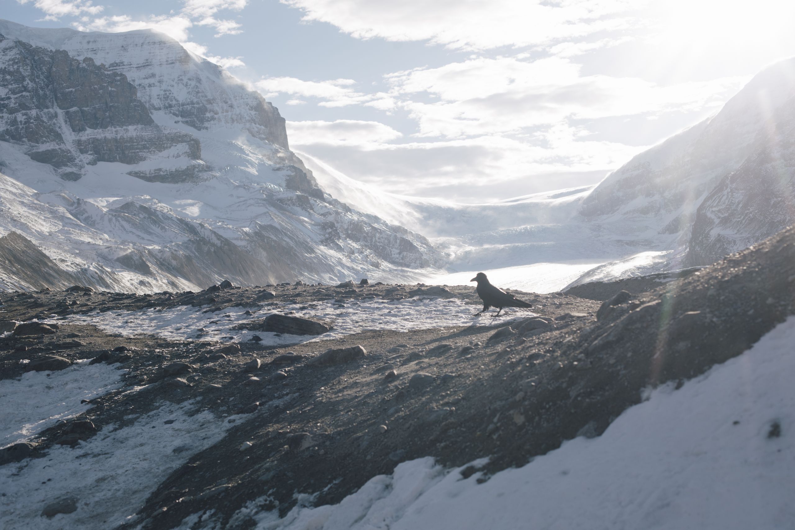
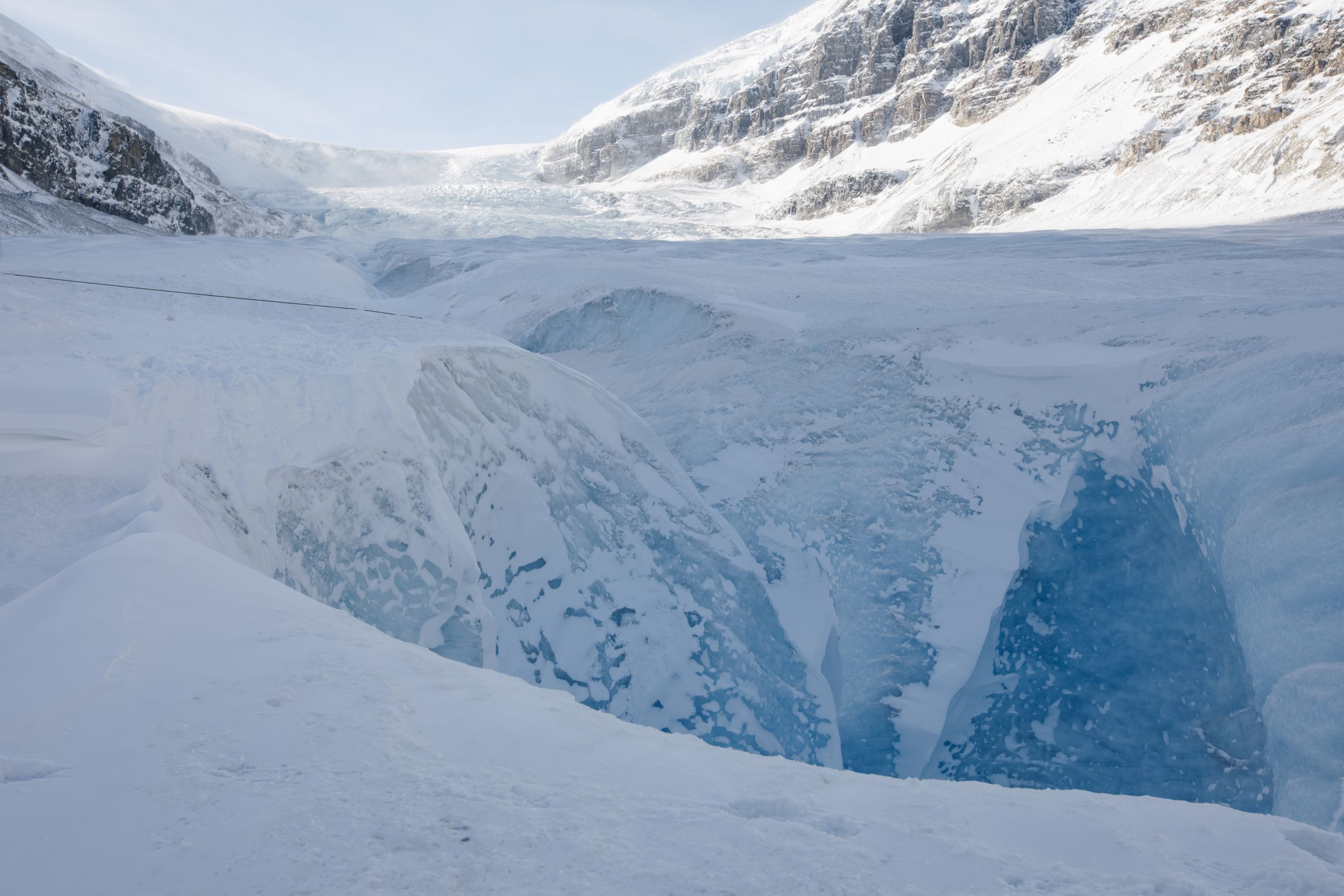 Glaciers house many seen and unseen hazards, like cracks in the ice called crevasses or moulins (seen here on the Athabasca Glacier), which are formed by meltwater burrowing into the ice. Photo: Amber Bracken / The Narwhal
The Alberta government and Parks Canada did not respond to requests for comment about supporting year-round information resources similar to Avalanche Canada or mapping glacial recession.
The flooding wasn’t the first rescue call Shepherd has responded to in the Bugaboos — and it’s unlikely to be the last.
“It’s a different landscape, and very, very unpredictable,” he said.
Menounos said the best way to prepare for hazards is to understand where they are and think about mitigation strategies to prevent loss of life and property.
Science has a fundamental role to play, particularly through long-term observation, which is about more than “these glaciers are dying,” he said.
“It’s a treasure trove of information” that can be used to make better physical models and predictions.
But for that to happen, governments at all levels will have to understand it is essential and requires better funding, he said.
“Because this information is ultimately going to help both decision-makers and the community at large.”