
The National Weather Service in Seattle issued a Winter Storm Warning for the Cascades that ends Thursday at 4 p.m.
SEATTLE — The National Weather Service has issued a Winter Storm Warning for the Cascades this week due to expected heavy snowfall.
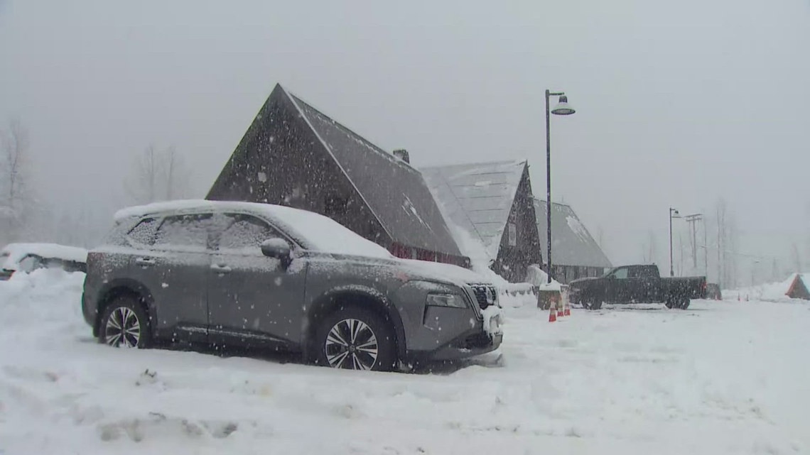
Between 2 and 4 feet of snow is expected between 4 a.m. on Tuesday and 4 p.m. on Thursday. Winds could also gust up to 35 mph.
The snow will fall heaviest Tuesday morning through Tuesday night, with accumulations of close to 1 inch per hour, NWS said.
The NWS warning covers the Cascades in Whatcom, Skagit, Snohomish, King, Pierce and Lewis counties.
In addition to the accumulation in the mountains, the system will bring heavy rain and gusting winds to the lowlands.
Rain totals for Puget Sound will be in the 0.5-1″ range. Wind gusts most areas will range between 30 to 40 mph. There is potential for gusts up to 50 mph for Camano and Whidbey islands, along with western Whatcom County, where a Wind Advisory in effect until noon.
KING 5 has activated First Alert for this weather event, which could affect lives, property or travel in the Pacific Northwest region. During this event, the First Alert Weather Team will bring you the latest information to keep you and your family safe.
The storm comes after a wet and warm December washed away much of the early season snowpack. Many of the ski resorts opened to skiers and snowboarders the week leading up to Christmas.
Travel impacts are expected over the mountains as the system moves through this week. Drivers are encouraged to check pass reports and be prepared with a flashlight, food, water and other emergency supplies in their vehicle.
Power outages are also possible, NWS said.
According to forecasting from the Northwest Avalanche Center on Monday, avalanche danger has increased, particularly on the western slopes of the north and central Cascades. Those areas are now at considerable or high levels of danger, depending on the elevation. At elevations above 5,500 feet, the NWAC said travel through avalanche terrain is not recommended.
New avalanche forecasts are issued daily.
Check mountain passes
>> Click here for KING 5 pass reports
>> Follow WSDOT for changing conditions and driving restrictions