
Published on Jan. 13, 2026, 12:03 PM
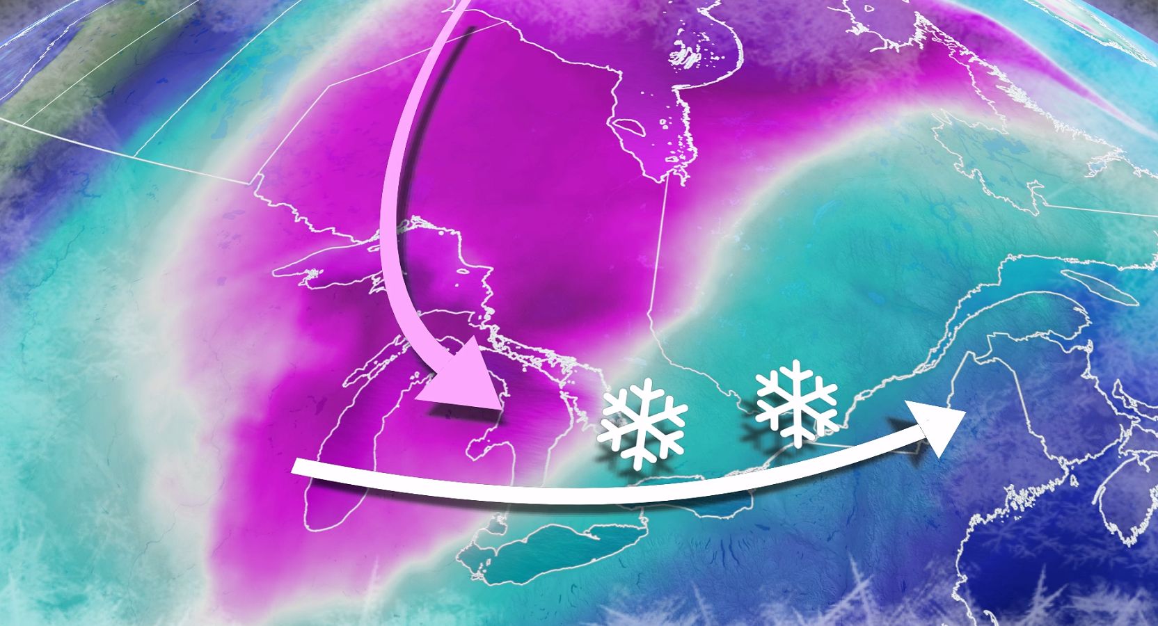
A significant shift in the weather pattern is expected across Ontario. Following a temporary January thaw, temperatures are set to plunge as blasts of Arctic air and snow move into the Great Lakes region throughout the week
Ontario’s brief January thaw is set to end abruptly this week as colder temperatures return.
A strong cold front will sweep across the region late Wednesday, bringing a sharp drop in temperatures. Daytime highs will struggle to climb out of the minus teens by Thursday in areas, including the Greater Toronto Area (GTA), with wind chills reaching the minus 20s for some. North of the GTA, wind chills could approach minus 30. Rounds of snow may also impact commutes across the region this week.
DON’T MISS: El Niño incoming? Forecasters see signs of big changes ahead
Frigid Arctic air will take hold next week, bringing lake-effect snow squalls to snowbelt regions east and southeast of Lake Huron and Georgian Bay. Winter weather conditions are anticipated to persist through the end of the month.
Brace for travel impacts with rounds of snow, and lake-effect squalls
A clipper system will move across Ontario Tuesday into Wednesday, bringing widespread snow to northern and central regions, with snow, rain, and mixed precipitation expected in the south.
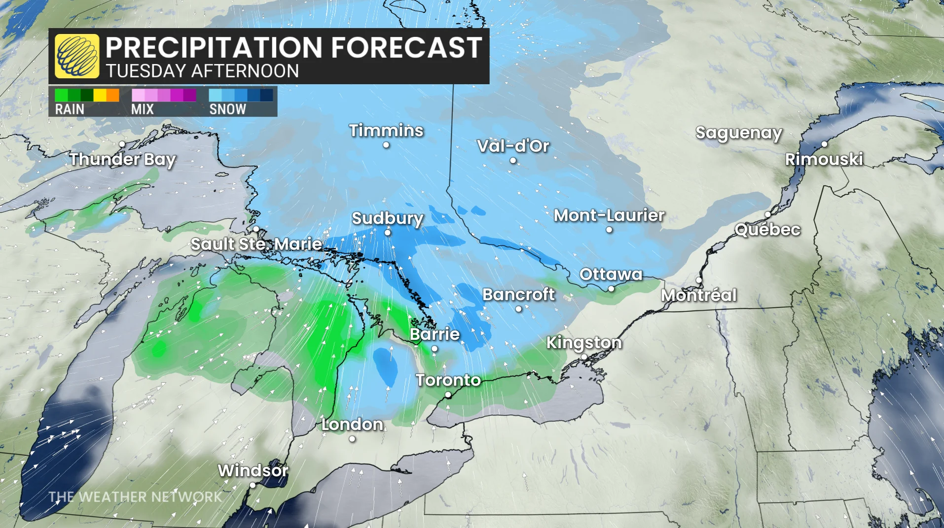
Snowfall totals of 5-15 cm are anticipated by Wednesday, with blustery winds potentially reducing visibility due to blowing and drifting snow.
RELATED: ‘Common sense’ driving tips to help steer through Canada’s winter
Drivers in the GTA should prepare for impacted commutes Tuesday evening, Wednesday morning, and Wednesday evening due to snow and a wintry mix. However, snowfall in the GTA is not expected to exceed 5 cm.