
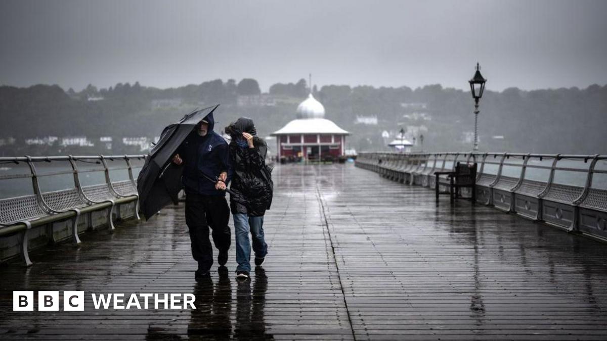
As the clear-up from Storm Goretti continues, this week’s weather brings a changeable theme with more wind and rain at times.
After a mild start to the week temperatures are set to fall slightly although a return to the Arctic chill of last week is not expected.
On Tuesday rain is tracking south-eastwards across all the UK, with colder air in the north and wintry showers over the mountains in Scotland. A Met Office yellow warning for ice has been issued across much of Scotland for Tuesday night into Wednesday morning.
After a touch of frost early on Wednesday, bright and chilly conditions will be replaced by rain and strengthening winds moving in from the west later on.
It’s on Thursday that another spell of potentially disruptive weather is possible, as heavy rain and strong winds are expected to push north across England and Wales. Further heavy snow may affect Scotland overnight into Friday.
There is a chance this weather system may be given a name, either by the UK Met Office or by MeteoFrance – the French weather service – but details and any potential impacts will be firmed up over the next day or two. At this stage, a Met Office yellow warning for rain has been issued for parts of southern England and South Wales