
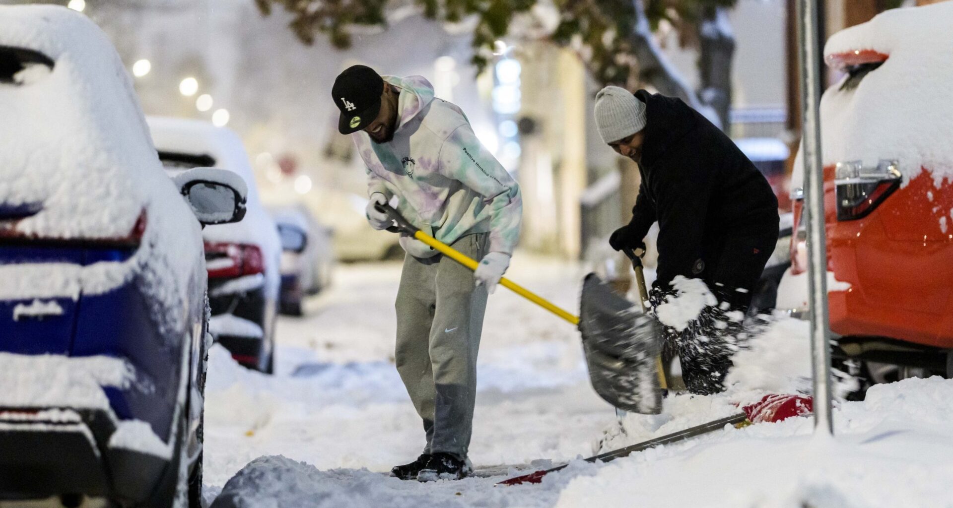
Environment Canada issued a yellow-level snowfall warning for Ottawa and the surrounding areas.
According to the weather agency, 15-25 centimetres of snow is expected to arrive by Thursday evening.
Temperatures on Wednesday will also drop dramatically to around 0 C by the afternoon, before the wind picks up and plummets the mercury to -20 C.
Overnight, it could feel as cold as -23 with the wind.
The snowfall is set to begin Wednesday night and last throughout the night and most of the day Thursday. The weather system is expected to make a significant impact on rush hour traffic.
The snowfall warning stretches across Kingston, Brockville, Smiths Falls, and Prescott and Russell.
It’s not just Ottawa that will experience severe winter weather, alerts have been issues across all of southern and eastern Ontario.
Coldest conditions of the season
Thursday morning is expected to bring the coldest conditions of the season so far. This air mass is expected to persist through the end of the month.
It might be good news for the Rideau Canal Skateway, which closed last week due to warm weather.