

An eye-watering and jaw-dropping 31 inches, or 79 centimetres, could be dumped on parts of Scotland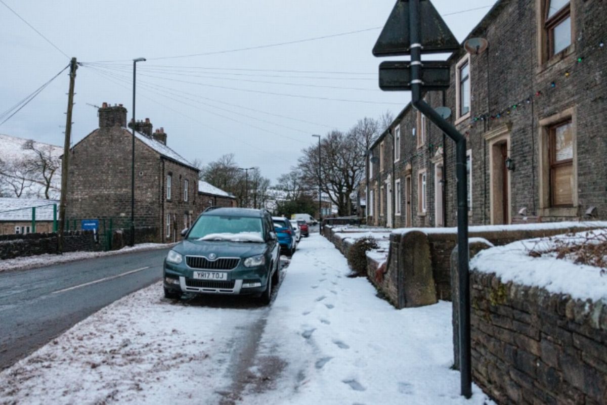
An eye-watering and jaw-dropping 31 inches, or 79 centimetres, could be dumped on parts of Scotland(Image: )
The next UK snow bomb has been upgraded to a BLIZZARD and could dump 31 INCHES on parts of Britain. An eye-watering and jaw-dropping 31 inches, or 79 centimetres, could be dumped on parts of Scotland, according to the advanced weather maps.
79cm of snow is likely north of the border, with the Highlands at risk, as snow falls across three dates later this month. The maps, from WX Charts, show snow will move across Northern Ireland, Scotland, Wales and England at midday on January 26.
The wintry blast and weather bomb will see a huge dumping of the white stuff left on Scotland – and England, too, is at risk. Indeed, south of the border, areas like Birmingham and the West Midlands conurbation can expect a covering.
READ MORE UK households without driveways issued £40,000 warning in ‘two-tier’ system
A dusting is likely north of the border in major cities like Edinburgh and Glasgow, too, the maps show. The charts also indicate Greater Manchester and Cheshire, as well as Lancashire, face being blanketed.
The snow will hit on January 26 and is expected to continue until midday on January 27. As well as the North West of England and West Midlands, there will also be flurries in the east of England.
Norfolk, Suffolk and Cambridgeshire are seen covered by blotches of white on the WX Charts maps and charts.East Anglia seeing some snow around this time. Light snow is also possible in Northern Ireland.
By January 27, and the modelling shows Greater London, Essex and swathes of the south of England and east of England also seeing wintry showers.
Snow could possibly fall from the south coast right up to the far north of Scotland, according to the advanced data and modelling system.
By January 28, everywhere is at risk of being brought to a standstill bar two areas: Wales and the far south-west of England.
Scotland faces the deepest accumulations at around 79 centimetres and 31 inches.
The Met Office forecast for January 29 onwards says: “Later in the period, there is an increased chance that conditions will turn colder.
“This aspect of the forecast is still somewhat uncertain but the potential transition to colder weather also increases the chance of snow across parts of the country.”