
The researchers’ new map is unlikely to be the final one. It relies on assumptions about exactly how ice flows which, like any method, comes with uncertainties.
And much remains to be discovered about the rocks and sediments that lie beneath the ice.
But other researchers agree that, combined with further surveys from the ground, air and space, the maps are a valuable step forward.
“This is a really useful product,” said Dr Peter Fretwell, senior scientist at the British Antarctic Survey in Cambridge, who was not involved in the new study but has been extensively involved in previous mapping.
“It gives us an opportunity to fill in the gaps between those surveys,” he added.
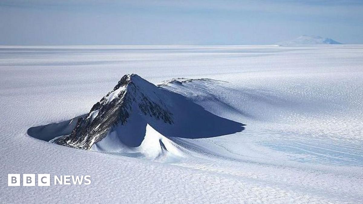
A more detailed understanding of all of the ridges, hills, mountains and channels could improve computer models of how Antarctica might change in future, the researchers say.
That is because these landforms and features ultimately shape how fast the glaciers above move, and how quickly they can retreat in a warming climate.
And that is important because the future speed of melting in Antarctica is widely considered to be one of the biggest unknowns in climate science.
“[This study gives] us a better picture of what’s going to happen in the future and how quickly ice in Antarctica will contribute to global sea-level rise,” agreed Fretwell.
The study is published in the academic journal, Science, external.